Weather
Winter Storm Targets Hoboken: Latest Snowfall Map, Cancellations, Preparations
See the newest "Most Likely Snowfall" map for Hoboken, along with cancellations and preparations.


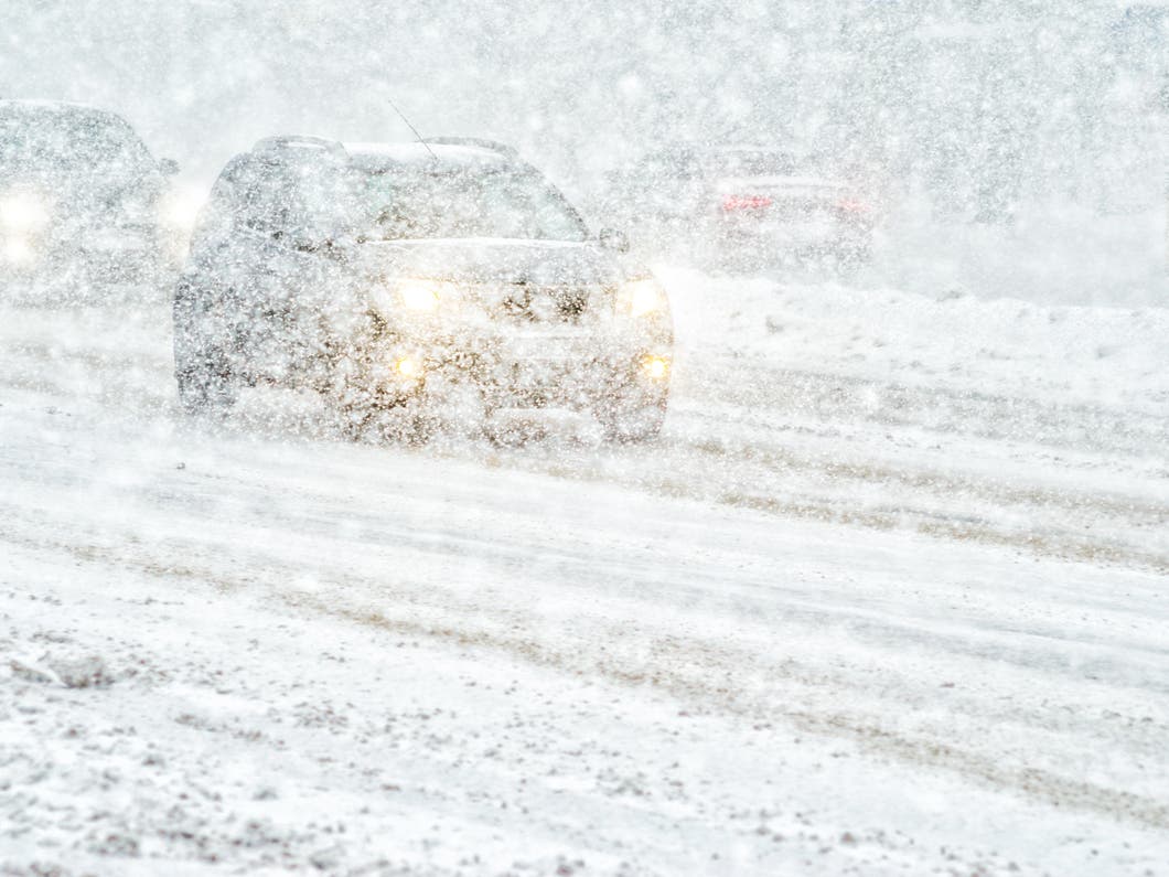
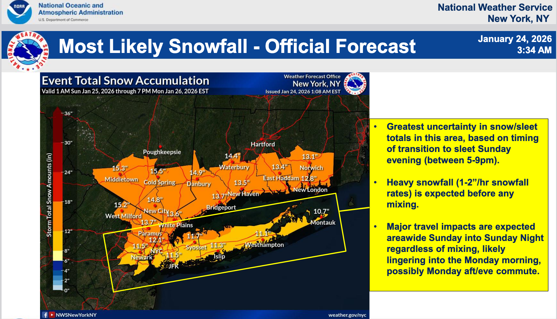
HOBOKEN, NJ — Hoboken is now under a winter storm warning from 3 a.m. Sunday to 6 p.m. Monday.
(Remember the Blizzard of '96 in Hoboken? Read residents' memories here.)
The latest forecast for Hudson County calls for snow to start after 7 a.m. Sunday. The area will get 7-11 inches of snow during the day, 1-3 inches at night, and less than half an inch on Monday before 1 p.m. Winds could gust as high as 33 MPH.
Find out what's happening in Hobokenfor free with the latest updates from Patch.
Cancelations
Events are already being canceled in the county, including an opening reception for Hoboken Historical Museum's new exhibit on local photography clubs from the turn of the last century. The Museum will now remain closed until Feb. 1, with the reception from 2-5 p.m. on that Sunday.
Find out what's happening in Hobokenfor free with the latest updates from Patch.
The Hoboken Library will be closed on Sunday and Monday, they said (more information here).
City Updates: Parking And More
On Friday afternoon, the city sent out an advisory saying that street cleaning is cancelled for Monday, and drivers must move their cars off of emergency routes. The city is offering $5 discounted parking in its garages during the storm. More information is here.
Track the storm with the links below, and watch for coverage of school cancellations and more on Patch.
Track Storms Here
- See the latest local NWS forecast and watches for Hudson County here.
- Keep an eye on the local radar here.
- Check out the Accuweather Minutecast here.
- See a current map of all watches and warnings in New Jersey here.
- The NOAA (National Oceanic and Atmospheric Administration) keeps us informed about larger weather events. Follow them here.
Updated NWS forecasts, watches, and warnings in each county:
What about the rivers? This NWS map of the United States will show the potential for river flooding.
Get more local news delivered straight to your inbox. Sign up for free Patch newsletters and alerts.