Politics & Government
The Parkway Pole Bombshell
Mega-poles near the Parkway could be among the tallest structures for miles — unless JCP&L goes underground.
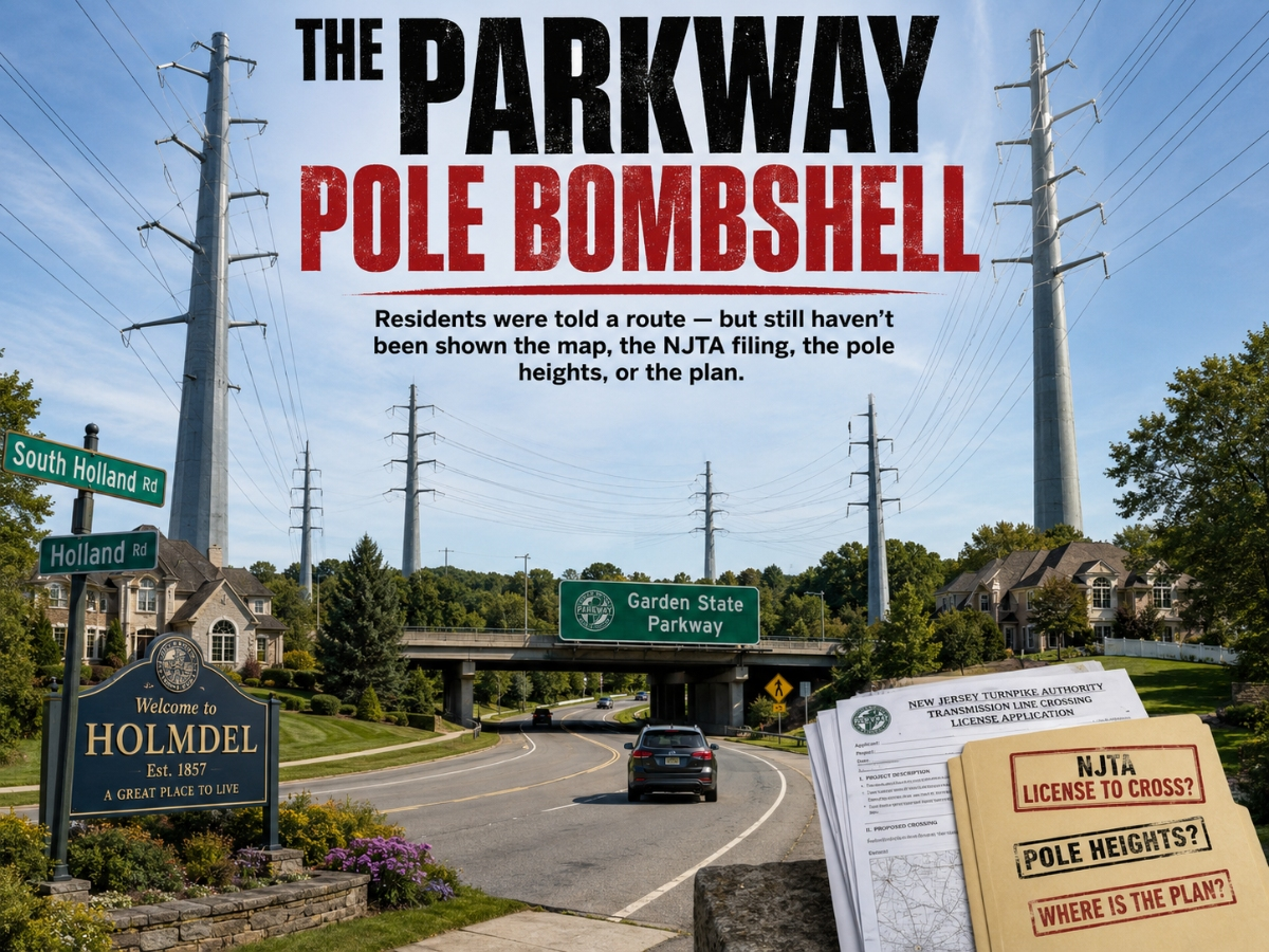
A Holmdel resident recently posted that she was told by the Township that the utility-pole route runs from Route 34 to Roberts Road, Longstreet Road, Crawfords Corner Road, South Holland Road, Holland Road, and Laurel Avenue.
The JCP&L/Boswell map holmdeltownship.com/DocumentCenter/View/5973/Freneau-TaylorLane-Holmdel-June-2025 makes that concern even more serious. The June 10, 2025 map identifies Project JC-103609 as a proposed structure-location plan from the Freneau Substation to the Taylor Lane Substation, with structures running through the very corridor the resident was told about.
JCP&L’s own public notice/fact sheet says residents “along the existing electric line will be notified prior to any work” and that JCP&L would work directly with residents to coordinate vegetation removal or temporary rights needed for construction. Here is the notice: https://holmdeltownship.com/DocumentCenter/View/5974/Holmdel---Infrastructure-Upgrade-Project-JC-103609_E365-fact-sheet_2025-05-15.
Find out what's happening in Holmdel-Hazletfor free with the latest updates from Patch.
So how many Holmdel residents were actually contacted before work began? The Township should know this number — or should demand it from JCP&L — and report it publicly.
The Parkway section is the red flag. On Sheet 6 of 9, near South Holland Road, the Garden State Parkway, Garden State Parkway Express, Briar Hill Road, and Holland Road, the map identifies Structures 113, 114, 115, and 116. The legend marks those structures as steel poles. That means this Parkway-area section is not being shown as an underground solution. It is being shown as overhead steel-pole infrastructure.
Find out what's happening in Holmdel-Hazletfor free with the latest updates from Patch.
If these lines cross over or occupy the Garden State Parkway right-of-way, JCP&L likely would have needed a formal New Jersey Turnpike Authority License to Cross. So where is it?
Where is the NJTA filing? Where are the approved engineering drawings? Where are the exact pole heights for Structures 113, 114, 115, and 116? Where is the voltage, sag profile, clearance analysis, and construction schedule?
If the lines go over the Parkway, these steel poles may need to be even taller than the rest from the start. The Parkway sits at a higher elevation than South Holland Road in that area, so JCP&L would not only need to clear the local road corridor — it would need to carry the wires high enough to clear the elevated Parkway at the wires’ lowest sag point. The span may also be longer because poles cannot simply be placed in travel lanes, shoulders, medians, or unsafe areas. Add multiple circuits and required separation, and Structures 113, 114, 115, and 116 could become some of the tallest and most visually intrusive utility structures in Holmdel.
Residents near the Parkway may be facing steel mega-poles on both sides of the highway — permanently changing the landscape and raising serious concerns about nearby property values.
Mayor Impreveduto says he is fighting JCP&L. Then publish the full engineering plan.
No more after-the-fact bravado. No more excuses. No more poles before answers.
Prakash Santhana
Former Holmdel Deputy Mayor