Community Corner
WEATHER ALERT: Hazardous Weather, 'Freeze Alert' Issued As Cold Comes Back To New Jersey
Even some snow could arrive, sparingly, in North Jersey. Wind gusts could reach 30 mph - a day after another storm toppled trees.

Those pretty flowers blooming in your front yard could become ”daffodilcicles” by daybreak Friday.
The National Weather Service has issued a freeze warning for several New Jersey counties, including Sussex, Morris, Warren, Hunterdon, and Somerset between 2 and 9 a.m. Friday, April 24.
After that, a freeze watch is in effect from Friday night through Saturday morning.
Find out what's happening in Mendham-Chesterfor free with the latest updates from Patch.
Temperatures are expected to dip down to the upper 20s and lower 30s, the weather service said, and residents in higher elevations reported seeing snow flurries Thursday morning.
The National Weather Service also said that wind gusts could reach 30 mph - one day after another wind and rain storm toppled trees across the state.
Find out what's happening in Mendham-Chesterfor free with the latest updates from Patch.
>>Related: Five Things to Do to Protect Plants from Frost
Central and South Jersey counties were placed under a freeze watch for the same time period, stating sub-zero temperatures are possible.
One of the impacts listed by the National Weather Service included “possible damage to early season plants.”
The warning also stated that sub-freezing temperatures are imminent or highly likely, and conditions will kill crops and other vegetation.
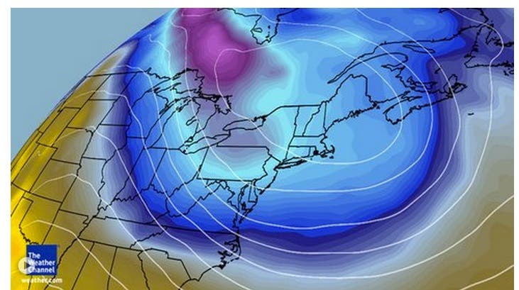
This flip to a cooler temperature regime is because of an upper-level trough that has dipped southward into the Midwest, bringing modified Canadian air from the northern Plains to the Northeast. This upper-level trough will make slow progress eastward, allowing the cool temperatures to stay, according to The Weather Channel.
Get more local news delivered straight to your inbox. Sign up for free Patch newsletters and alerts.