Weather
NJ Weather: Hazardous Weather Outlook For Memorial Day Weekend
Find out how the weather will impact your holiday weekend.


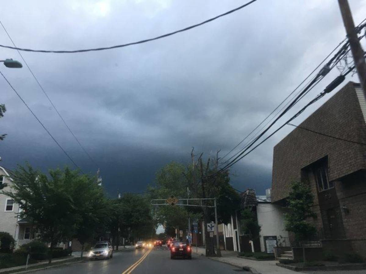
Memorial Day weekend is the unofficial start of summer in New Jersey. But it may not be time to lay in the sun just yet. In fact, you may just want to stay inside to avoid the rain and possible severe thunderstorms.
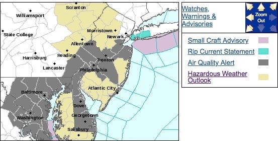
A hazardous weather outlook has been issued for all New Jersey as showers and thunderstorms were expected to develop across the region Saturday afternoon, and then continue through Sunday (see forecast below).
The storm appeared to be the cause of more than 4,000 power outages on Saturday. Read more here: Power Outages In 23 NJ Communities
Find out what's happening in Point Pleasantfor free with the latest updates from Patch.
Those storms will be capable of producing heavy downpours that could lead to urban and small stream flooding in spots, according to the National Weather Service.
Here are the alerted areas:
Find out what's happening in Point Pleasantfor free with the latest updates from Patch.
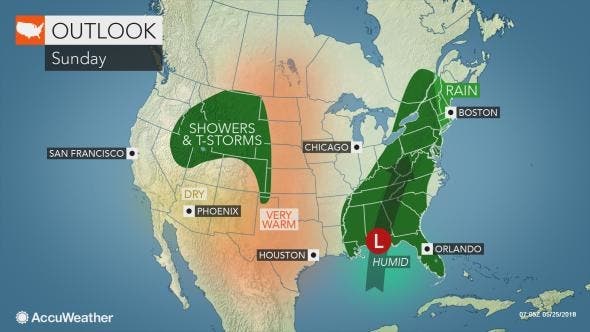
While people in New Jersey will have to dodge showers and thunderstorms from Saturday to Memorial Day, the holiday weekend will not be a complete washout, according to an AccuWeather release.
Showers will riddle the area over the holiday weekend, but people should plan on the idea that most of the time will be rain-free, according to AccuWeather Chief Meteorologist Elliot Abrams.
Downpours, however, may force people attending cookouts, parades, memorial services and other holiday activities to run for cover on occasion, according to the release.
Following widely scattered storms on Saturday, downpours will increase along the I-95, New Jersey Turnpike corridor from Saturday night to a portion of Sunday. This may prove to be the wettest period during the holiday weekend, according to the release.
During a busy weekend for outdoor activities, be sure to head inside as soon as you see dark, billowing clouds and hear thunder to avoid the risk of being struck by lightning, according to the release. Motorists traveling along area interstates should anticipate delays due to the damp conditions and increased holiday traffic. Flight delays may occur as storms wander over the major airport hubs.
Here is the forecast:
- Saturday: A chance of showers and thunderstorms, mainly after 2pm. Partly sunny, with a high near 87. Southwest wind around 10 mph. Chance of precipitation is 40%. New rainfall amounts between a tenth and quarter of an inch, except higher amounts possible in thunderstorms.
- Saturday night: A chance of showers and thunderstorms. Mostly cloudy, with a low around 67. Southwest wind 5 to 7 mph. Chance of precipitation is 40%. New rainfall amounts between a quarter and half of an inch possible.
- Sunday: A chance of showers and thunderstorms. Cloudy, with a high near 78. East wind 3 to 6 mph. Chance of precipitation is 50%. New rainfall amounts between a quarter and half of an inch possible.
- Sunday night: A chance of showers and thunderstorms. Cloudy, with a low around 60. Chance of precipitation is 40%. New rainfall amounts of less than a tenth of an inch, except higher amounts possible in thunderstorms.
- Memorial Day: Mostly cloudy, with a high near 75.
- Monday night: Mostly cloudy, with a low around 63.
Tom Davis photo
Get more local news delivered straight to your inbox. Sign up for free Patch newsletters and alerts.