Crime & Safety
WEATHER ALERT: 'Drenching' Rain, Hazardous Weather Outlook Issued For New Jersey
The rain, which will be possibly heavy at times, will begin Saturday morning and could result in some flooding of poor drainage areas.

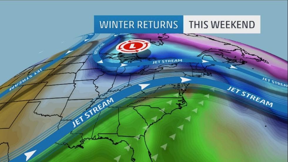

“Winter returns” is the phrase the Weather Channel is using to describe the weekend.
The National Weather Service has issued a ”Hazardous Weather Outlook” for much of New Jersey, saying a “drenching” rain will soak the state and make roads slick all day Saturday.
The rain, which will be possibly heavy at times, will begin Saturday morning and could result in some flooding of poor drainage areas and also some smaller waterways, according to the National Weather Service.
Find out what's happening in Princetonfor free with the latest updates from Patch.
The main areas of concern, the National Weather Service says, are southeastern Pennsylvania to central and northern New Jersey. Temperatures will drop close to the freezing mark, meaning that ice could form on roadways and make driving troublesome.
Fairly deep and moist air along with a weakening upper-level low-pressure system is pushing northeastward from the South, according to the Weather Channel.
Find out what's happening in Princetonfor free with the latest updates from Patch.
This moisture will join forces with cold air lingering over parts of the Northeast, according to the report.
Subscribe to the Patch free daily newsletter for more local news, and breaking news alerts delivered to your inbox, by clicking here.
Patch stories:
- Brick Man, 9 Others Charged In Crime Family’s Plots Of Murder, Prostitution Club
- Somerset County Teacher’s Anti-Gay Facebook Post Draws Ire From Celebrities, Alumni
- SPCA Official Quits After Alleged Racist Texts, Comparing Michelle Obama To Monkey
- Hazmat Team Investigates ‘White Powder’ at Millburn Train Station
Get more local news delivered straight to your inbox. Sign up for free Patch newsletters and alerts.