Weather
NJ Weather: 'Potent' Super Bowl Storm, Snow Possible
Two snowfalls are expected this week, so driving to a Super Bowl party could spell trouble. A hazardous weather outlook was issued.

New Jersey could be facing a one-two punch of snow, rain and ice over the next week that could create trouble during your morning commutes to work. One of the storms is expected to be "potent" enough to bring strong winds and heavy rains, as well as snow, on Super Bowl night.
The National Weather Service has issued a hazardous weather outlook for all New Jersey as the first snow could come as early as Thursday night. Another stronger, "potent" system is expected on Sunday that forecasters say has the "ingredients" for a "big storm."
The weather could also lead to school closures and delayed openings. Read more: New Jersey School Closings/Delays Lists For Friday and Monday
Find out what's happening in Toms Riverfor free with the latest updates from Patch.
A cold front will first bring rains and some snows to the area on Thursday night and Friday morning. Snow accumulations are expected to be light, but the roads could be slippery enough to cause travel hazards, according to the National Weather Service.
An area of low pressure will then affect the region Sunday and Sunday night. The exact track of the low will determine which locations receive rain or snow, according to the National Weather Service.
Find out what's happening in Toms Riverfor free with the latest updates from Patch.
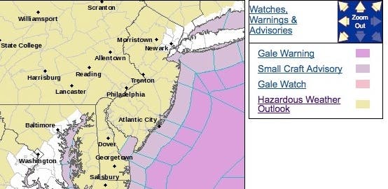
Here are the alerted areas:
The potent Super Bowl storm will develop and organize a swath of drenching rain and accumulating snow over a large part of the eastern United States spanning Sunday and Monday, according to an AccuWeather release.
The storm is likely to gather more moisture and produce heavier precipitation when compared to the storm from Thursday night into Groundhog Day. As a result, impact from the early-week storm may be significant in terms of travel and daily activities, according to the release.
Those with flights or long-distance travel on the highways from Sunday to Monday may want to monitor the development and progress of the storm as a result. "The ingredients are there for a big storm, but there is some competition with other, lesser storms on the map due to the busy weather pattern," AccuWeather Chief Broadcast Meteorologist Bernie Rayno said in the release.
Motorists along much of the I-95 corridor in the East can expect delays related to excess water on the roads and poor visibility, according to AccuWeather. Similarly, airline delays related to fog or a low cloud ceiling are likely in the major hubs of Atlanta, Charlotte, North Carolina, Washington, D.C., Philadelphia, Baltimore, Newark and New York City at the height of the storm.

Here is the forecast:
- Thursday: A slight chance of rain after 11 am. Cloudy, with a high near 44. Southwest wind 6 to 8 mph. Chance of precipitation is 20%.
- Thursday night: Rain, snow, and sleet, becoming all snow after 2am. Low around 25. South wind around 6 mph becoming west after midnight. Chance of precipitation is 80%. New snow and sleet accumulation of less than one inch possible.
- Friday: A slight chance of snow showers before 10am. Mostly sunny, with a high near 30. Northwest wind 11 to 15 mph. Chance of precipitation is 20%.
- Friday night: Mostly clear, with a low around 13. Northwest wind 7 to 13 mph.
- Saturday: Mostly sunny, with a high near 29. Southwest wind 6 to 8 mph.
- Saturday night: A slight chance of snow after 1am. Mostly cloudy, with a low around 25. Chance of precipitation is 20%.
- Sunday: A chance of snow before noon, then a chance of rain and snow between noon and 1pm, then rain after 1pm. High near 38. Chance of precipitation is 80%.
- Sunday night: Rain before 11pm, then rain and snow between 11pm and 3am, then snow likely after 3am. Low around 29. Chance of precipitation is 80%.
- Monday: Partly sunny, with a high near 36.
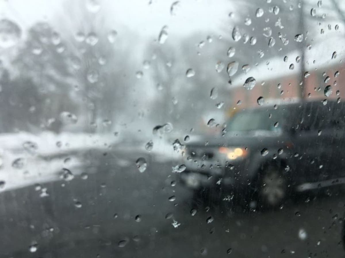
Tom Davis photo
Get more local news delivered straight to your inbox. Sign up for free Patch newsletters and alerts.