Home & Garden
Hazardous Weather Outlook for Monday; Storms May Start Tonight
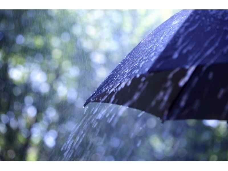
Rain is on the way to Chappaqua and Mount Kisco.

The National Weather Service has issued a Hazardous Weather Outlook for Monday, as heavy rains and potential flooding are forecast for Westchester County and the Hudson Valley.
HEAVY SHOWERS AND POSSIBLY A THUNDERSTORM MONDAY MORNING COULD LEAD TO FLOODING. RIVER FLOODING IS NOT EXPECTED.
Hudson Valley Weather’s Bill Potter says the storms will reach the region Sunday night.
Find out what's happening in Chappaqua-Mount Kiscofor free with the latest updates from Patch.
“After a fairly nice Sunday afternoon… we do have some concerns for the evening hours,” Potter writes. “Areas of scattered showers and thunderstorms will approach the Hudson Valley from the west.”
THERE IS THE POTENTIAL FOR LOCALLY HEAVY RAINFALL LATE THIS EVENING AND OVERNIGHT TONIGHT. THIS LIKELY WILL CAUSE SOME MINOR URBAN AND POOR DRAINAGE FLOODING AND POSSIBLY SOME ISOLATED FLASH FLOODING. AT THIS TIME THE HEAVIEST RAINFALL IS EXPECTED TO BEGIN JUST PRIOR TO THE START OF THE MORNING COMMUTE. .DAYS TWO THROUGH SEVEN...MONDAY THROUGH SATURDAY. THERE IS THE POTENTIAL FOR LOCALLY HEAVY RAINFALL MONDAY. THIS WILL CAUSE WIDESPREAD MINOR FLOODING OF URBAN AND POOR DRAINAGE AREAS AS WELL AS POSSIBLY ISOLATED FLASH FLOODING. THE HEAVIEST RAIN IS EXPECTED TO FALL FROM THE MORNING RUSH INTO EARLY AFTERNOON.
Find out what's happening in Chappaqua-Mount Kiscofor free with the latest updates from Patch.
At Patch we’ve launched our own hyperlocal interactive weather page, which gives you your community’s hour-by-hour, daily, and even weekly forecast. We even let you know what time the sunrise and sunset is.
Click here for Chappaqua and Mount Kisco’s in-depth weather forecast.
Get more local news delivered straight to your inbox. Sign up for free Patch newsletters and alerts.