Community Corner
Weather Outlook: Better Commute Home, Clear Weekend Ahead
But blustery winds will blow that inch of snow around, so be careful in Mount Kisco and Chappaqua.


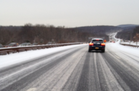
The snowburst stopped before 10 a.m. though the traffic problems persisted all morning.
Friday afternoon, wind chills will keep temperatures in the low teens, not to mention blowing the 2 inches of snow around from earlier in the day—so be prepared on the way home, says Hudson Valley Weather.
Here’s what to expect this weekend: the National Weather Services says Mount Kisco on Saturday will be like this past week: sunny, windy and cold, with a high of 26 and a low of 9 degrees.
Find out what's happening in Chappaqua-Mount Kiscofor free with the latest updates from Patch.
But there will be a fast change Sunday. The high will go up to 31 degrees, it will cloud up and be much warmer overnight, with a low of 25.
There’s a chance of snow after midnight Sunday, mixing with freezing rain after 3am. Cloudy, with a low around 25. Chance of precipitation is 30 percent.
Find out what's happening in Chappaqua-Mount Kiscofor free with the latest updates from Patch.
Looking ahead, while the weather next week will stop well short of balmy warmth in most areas of the Midwest and East, the pattern expected will yield less extreme cold, said AccuWeather Chief Meteorologist Elliot Abrams: “It’s not going to get warm from Chicago to New York City, but more typical winter temperatures are in store.”
If you’re going upstate, beware lake-effect snow.
Get more local news delivered straight to your inbox. Sign up for free Patch newsletters and alerts.