The National Weather Service has placed a hazardous weather outlook in effect for Long Island on the heels of a blizzard that dropped more than 2 feet of snow on some parts of the island.
A “small winter weather event” is coming Thursday night into Friday, the NWS said.
Snow is likely, but less than an inch of accumulation is currently expected.
Find out what's happening in Garden Cityfor free with the latest updates from Patch.
- Sign up for weather and breaking news alerts from Patch here
The snow will be followed by very cold air on Friday and the mercury will drop into the single digits by Friday night, the NWS said.
A low pressure system set to affect the region Sunday night into Monday has the potential to bring some serious snow to the island.
Find out what's happening in Garden Cityfor free with the latest updates from Patch.
The NWS says that although the forecast track is highly uncertain at the moment, it appears most likely that the low pressure system will track to the south of the area, thus bringing mostly snow to Long Island.
“There is potential for 6 inches or more of snow,” the hazardous weather outlook states.
If the storm tracks to the northwest, the island would likely see mostly rain, with a possible 1-2 inches of precipitation. Combined with melting snow, that could result in flooding, the outlook says.
The NWS forecast:
- Today- Sunny, with a high near 26. Wind chill values between 15 and 20. Northwest wind 10 to 14 mph, with gusts as high as 25 mph.
- Tonight- Clear, with a low around 11. North wind 5 to 7 mph becoming calm after midnight.
- Thursday- Increasing clouds, with a high near 33. Wind chill values between 15 and 25. Calm wind becoming south around 6 mph in the afternoon.
- Thursday Night- Snow likely, mainly after midnight. Cloudy, with a low around 30. South wind 5 to 8 mph. Chance of precipitation is 70%. New snow accumulation of less than a half inch possible.
- Friday- A chance of snow showers, mainly before 11am, then a chance for flurries. Mostly cloudy, with a temperature rising to near 33 by 10am, then falling to around 25 during the remainder of the day. Breezy, with a northwest wind 11 to 20 mph. Chance of precipitation is 40%.
- Friday Night- Scattered flurries before midnight. Partly cloudy, with a low around 7. Blustery.
- Saturday- Sunny, with a high near 22. Blustery.
More on Patch:
- Blizzard 2015: Long Island Snowfall Totals
- Long Island Digs Out From Blizzard, State Sends Help to Hard Hit Suffolk
- Wantagh-Levittown Volunteers Save 2 Lives During Blizzard
- Teen Dies in Snow-Tubing Accident in Huntington
- Snow Baby! Couple Delivers Newborn in Car in Manhasset
- Police: 1 Dead, 2 Critically Injured in Deer Park Crash
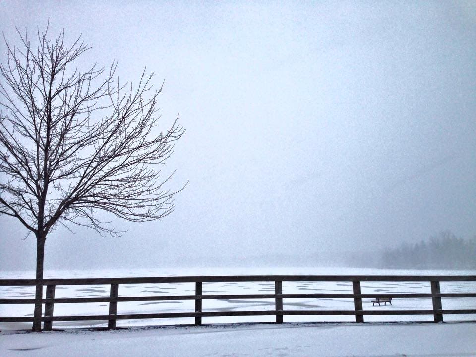
Photo by Alison Auld-Giordano/Lake Ronkonkoma following the blizzard
Get more local news delivered straight to your inbox. Sign up for free Patch newsletters and alerts.