Crime & Safety
Severe Thunderstorm Watch Issued for Nassau County
National Weather Service issues watch Friday afternoon.

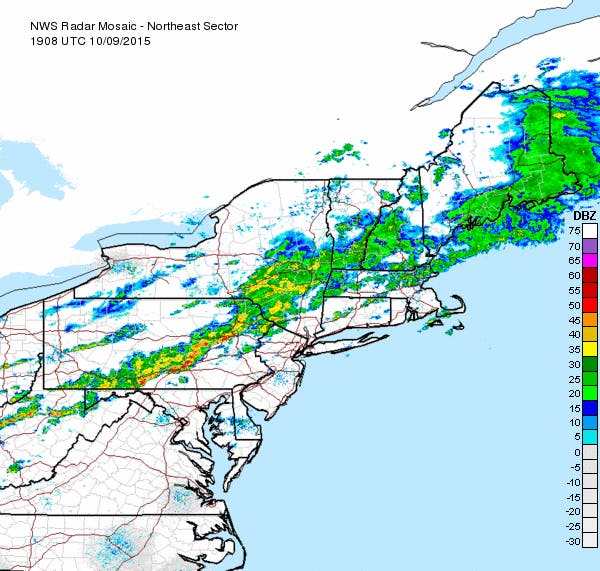
The National Weather Service has issued a severe thunderstorm watch for Nassau County.
The watch is in effect until 8 p.m. Friday.
A severe thunderstorm watch means “that the potential exists for the development of thunderstorms which may produce large hail or damaging winds,” the NWS says. Once the storms move on, the weekend should be sunny with high temperatures in the 60s. Saturday night, though, could bring the coldest temperatures so far this season, the National Weather Service says, with the mercury dipping into the low-40s on Long Island.
Looking for something to do this weekend?
- Thousands to Flock to Long Island Fall Festival This Weekend
- 2015 Long Island Pumpkin Picking Guide
- 2015 Long Island Apple Picking Guide
The full forecast:
- Friday afternoon- Isolated showers. Mostly cloudy, with a high near 72. Breezy, with a southwest wind around 20 mph. Chance of precipitation is 20%.
- Friday night- Showers and possibly a thunderstorm before 9pm, then a chance of showers between 9pm and 10pm. Some of the storms could produce gusty winds. Low around 53. West wind 9 to 14 mph becoming north after midnight. Chance of precipitation is 80%. New precipitation amounts between a tenth and quarter of an inch, except higher amounts possible in thunderstorms.
- Saturday- Sunny, with a high near 65. North wind 9 to 11 mph.
- Saturday Night- Clear, with a low around 41. Calm wind.
- Sunday- Sunny, with a high near 67. Southwest wind 6 to 11 mph.
- Sunday Night- Mostly clear, with a low around 52.
Get more local news delivered straight to your inbox. Sign up for free Patch newsletters and alerts.