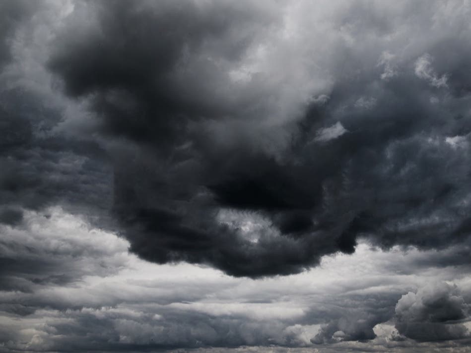
Weather
The Temperature's Rising: Poughkeepsie's Weekend Weather
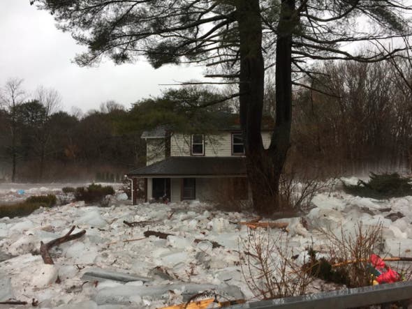
But balmy also brings black ice, potholes, water main breaks and ice jams around Newburgh and Beacon.


POUGHKEEPSIE, NY — Temps are rising. It'll be a nice change after a storm that dropped 10 inches on the mid-Hudson Valley and barely a coating in southern Westchester.
"Highs on Friday should rise into the mid 30s, before reaching the mid 40s by Saturday," said Bill Potter on Hudson Valley Weather. "The upcoming pattern screams ‘January Thaw’…"
However, it's not all good. Warm during the day, cold at night — that's a recipe for black ice, dangerous to drivers and pedestrians alike. Also, ice jams could return. Last week, ice jams caused flooding during the quick thaw that necessitated rescues in the Hudson Valley. And there's more.
Find out what's happening in Mid Hudson Valleyfor free with the latest updates from Patch.
Here's the weekend forecast from the National Weather Service for the mid-Hudson Valley:
- Friday Afternoon: Mostly sunny, with a high near 37. Southwest wind around 6 mph.
- Friday Night: Partly cloudy, with a low around 24. South wind around 6 mph.
- Saturday: Mostly sunny, with a high near 47. West wind around 8 mph.
- Saturday Night: Partly cloudy, with a low around 27. West wind around 6 mph becoming calm in the evening.
- Sunday: Mostly sunny, with a high near 43. Light west wind.
- Sunday Night: A slight chance of snow after 1am. Mostly cloudy, with a low around 29. Chance of precipitation is 20%.
Image/ AccuWeather.com.
Find out what's happening in Mid Hudson Valleyfor free with the latest updates from Patch.
Get more local news delivered straight to your inbox. Sign up for free Patch newsletters and alerts.