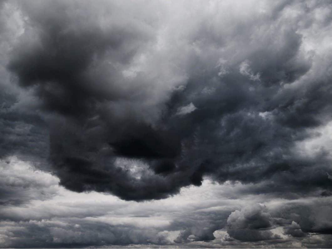
Weather
Winter Storm Watches Expanded In Hudson Valley: UPDATE
Localized amounts of snow more than 11 inches are now possible.


Well, if you wait a few minutes here in the Hudson Valley, the weather forecast is bound to change. Around 3:30 p.m. Monday, the National Weather Service issued a Winter Weather Watch for Dutchess and eastern Ulster counties. An hour later, the NWS expanded its Winter Weather Watch to include the rest of the lower Hudson Valley.
There is now a Winter Weather Watch in effect from 6 p.m. Tuesday, March 20 until midnight Wednesday, March 21 for Orange, Putnam, Rockland and Westchester counties.
Heavy wet snow is possible, with total accumulations of 5 to 11 inches, with locally higher amounts possible.
Find out what's happening in Mid Hudson Valleyfor free with the latest updates from Patch.
Motorists should plan on difficult travel conditions, including the evening commute Wednesday. Significant reductions in visibility are possible.
The NWS said a combination of the heavy wet snow and wind gusts of 25 to 40 mph could bring down tree limbs and power lines.
Find out what's happening in Mid Hudson Valleyfor free with the latest updates from Patch.
Additionally, a Coastal Flood Statement was issued for southern Westchester County for Tuesday night into Wednesday night.
Vulnerable locales along western Long Island Sound could see tidal departures of 1 to 1-1/2 feet above astronomical tides Tuesday night and 2 to 2-1/2 feet on Wednesday.
That could lead to minor coastal flooding during high tides.
The Winter Weather Watch for Dutchess and eastern Ulster counties is still in effect — see below.
ORIGINAL ARTICLE:
With the possibility of another nor'easter coming through the northeast, the National Weather Service has issued a Winter Storm Watch for eastern Ulster and Dutchess counties. It is in effect from 5 a.m. Wednesday, March 21 until 8 a.m. Thursday, March 22.
...WINTER STORM WATCH IN EFFECT FROM LATE TUESDAY NIGHT THROUGH THURSDAY MORNING...
* WHAT...Heavy snow possible. Total snow accumulations of 4 to 8 inches, with localized amounts up to 9 inches, are possible.
* WHERE...In Connecticut, Litchfield County. In New York, Eastern Ulster and Dutchess Counties.
* WHEN...From late Tuesday night through Thursday morning.
* ADDITIONAL DETAILS...Plan on difficult travel conditions. Significant reductions in visibility are possible.
PRECAUTIONARY/PREPAREDNESS ACTIONS...
A Winter Storm Watch means there is potential for significant snow, sleet or ice accumulations that may impact travel. Continue to monitor the latest forecasts.
Orange, Putnam, Rockland and Westchester counties are already under a Hazardous Weather Outlook.
SEE: Hazardous Weather Outlook Issued Monday For Hudson Valley
Patch graphic.
Get more local news delivered straight to your inbox. Sign up for free Patch newsletters and alerts.