Weather
Hazardous Weather Outlook Issued For Hudson Valley
Fog will make the morning commute difficult and then high gusty winds could widespread bring power outages today.


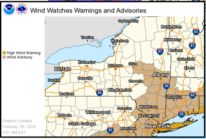
HUDSON VALLEY, NY — Dense fog kicks off Friday morning, but it's not the only hazardous weather the National Service is warning about for the Hudson Valley. Starting in the afternoon, wind gusts up to 50 mph are expected to whip through the region and, the NWS warns, widespread power outages are possible.
What's happening is a possibly record-low low pressure system, said Alex Marra and Bill Potter of Hudson Valley Weather. "It will be quite interesting as the low passes through, deep convection with heavy rain and even some thunder to the north and east of the low as cold air rushes in and changes rain to heavy snow across the eastern Catskills. Keep and eye to your barometer and maybe preemptively take an advil as this low pressure advances towards the region."
The National Weather Service said people should avoid being outside in forested areas and around trees and branches. "If possible, remain in the lower levels of your home during the windstorm, and avoid windows. Use caution if you must drive."
Find out what's happening in New Cityfor free with the latest updates from Patch.
The NWS issued a special weather statement about the fog at 6:32 a.m. Visibilities below one half mile will be possible at times. Drivers are urged to exercise caution and to be alert for sudden reduced visibilities. Allow extra time to reach your destination, and if you encounter fog, reduce speed and increase following distance with the vehicle in front of you.
The fog is expected to dissipate by mid morning as winds increase.
Find out what's happening in New Cityfor free with the latest updates from Patch.
West winds 20 to 30 mph with gusts up to 50 mph are expected in the Hudson Valley, northeast New Jersey and portions of southern Connecticut.
The windstorm is expected to hit Westchester, Rockland, Putnam and Orange counties around noon, and Dutchess and Ulster counties around 1 p.m. It could last seven to nine hours.
Gusty winds could blow around unsecured objects. Tree limbs could be blown down and a few power outages may result. The NWS recommends using extra caution when driving, especially if operating a high profile vehicle.
Blizzard-like conditions today ... upstate For the #HudsonValley, a little rain and a whole lot of afternoon wind
— Ben Noll (@BenNollWeather) February 7, 2020
The wind will bring us a little more winter. Temperatures on Friday will be above normal before falling through the afternoon into the 30s. Overnight lows will fall into 20s across the area. Saturday high temperatures only reach the 30s to around 40.
Get more local news delivered straight to your inbox. Sign up for free Patch newsletters and alerts.