Community Corner
Weather Alert: Temperatures in 'Free fall' this Afternoon, Evening
The National Weather Service has issued a Wind Chill Advisory for Rockland County.

The National Weather Service has issued a Wind Chill Advisory for 6 p.m. tonight through 8 a.m. Jan. 8.
With wind chill readings as low as 20 below, the frigid conditions will be dangerous to those venturing outside. Prolonged exposure could cause frostbite, says the NWS.
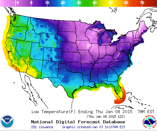
Here’s how it’s happening, according to Hudson Valley Weather:
Find out what's happening in Nyack-Piermontfor free with the latest updates from Patch.
A powerful cold front will push thru the Hudson Valley on Wednesday, and it will bring about some major changes.
First, we’ll have a shot at a few scattered snow squalls, as the boundary pushes through the area around mid day. Areas that see a squall (and not everyone will), could see a quick dusting to a half inch of snow.
Find out what's happening in Nyack-Piermontfor free with the latest updates from Patch.
Second, the wind will really kick up in intensity. Winds will shift around to the northwest, and howl between 10 and 20mph… gusting over 40mph at times. The fierce wind will also send temperatures into a state of free fall. Here are the projected GFS temperatures around 1pm…

As if the temperatures around 20° aren’t bad enough…. look what happens just 6 hours later, thanks to the power of an arctic wind…

But those are just temperatures. We’re not even talking about wind chill yet. If you hate winter… you may want to avert your eyes right now. When you take arctic air… and add a howling northwest wind… here are the projected wind chills for Wednesday night.

It really doesn’t get much worse than this.
Read Hudson Valley Weather’s entire forecast on its website.
Get more local news delivered straight to your inbox. Sign up for free Patch newsletters and alerts.