Weather
Forecast+ Final Snow, Rain, Wind Reports From Nor-easter
Spring-like daytime temperatures are up next. Here's the latest.


HUDSON VALLEY, NY — The nor'easter still troubling Maine may have dumped most of its huge load of heavy, wet snow on Vermont and Massachusetts, but it did leave from 15 inches (in Monroe) to 1.5 (in Ossining) in our region. It also poured, dropping more than an inch of rain on many communities, specially in Westchester County.
And the wind blew hard. The highest gust was recorded at 49 mph at the Tappan Zee Light. In fact, it's still blustery enough that the National Weather Service forecasts Wednesday's wind chill values between 20 and 30.
Find out what's happening in Ossining-Croton-On-Hudsonfor free with the latest updates from Patch.
Next up: temperatures will feel spring-like during the day, but drop below freezing at night.
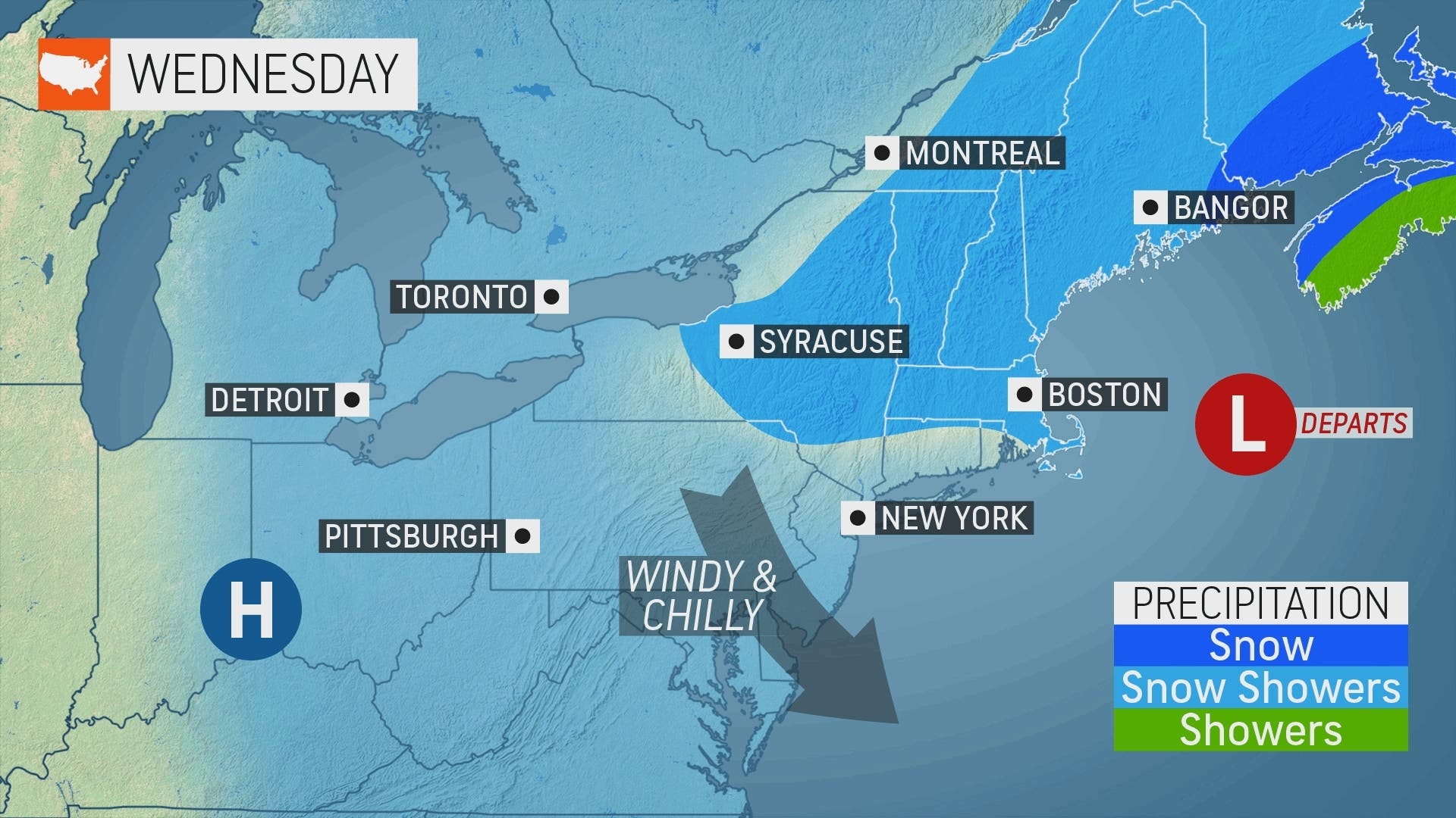
"In the days following the powerful nor’easter, an expansive area of high pressure will set up shop across much of the Northeast, promoting a period of dry and settled conditions," AccuWeather Meteorologist Brandon Buckingham said.
Find out what's happening in Ossining-Croton-On-Hudsonfor free with the latest updates from Patch.
Could this be the last thaw? Spring starts officially next week.
First, here's the five-day forecast from the NWS, based on New City. Then, take a look at the final totals the NWS posted for the storm.
- Wednesday - Mostly sunny, with a high near 41. Wind chill values between 20 and 30. Breezy, with a northwest wind 17 to 22 mph, with gusts as high as 38 mph.
- Tonight - Mostly clear, with a low around 28. Wind chill values between 20 and 25. Northwest wind 10 to 16 mph, with gusts as high as 29 mph.
- Thursday - Mostly sunny, with a high near 52. Wind chill values between 20 and 30 early. Northwest wind 8 to 10 mph.
- Thursday Night - Mostly cloudy, with a low around 37. Southwest wind around 7 mph.
- Friday - A 30 percent chance of showers, mainly after 5pm. Mostly cloudy, with a high near 55. Light south wind increasing to 5 to 10 mph in the morning.
- Friday Night - A 50 percent chance of rain. Mostly cloudy, with a low around 40.
- Saturday - Partly sunny, with a high near 49.
- Saturday Night - Partly cloudy, with a low around 26.
- Sunday - Mostly sunny, with a high near 40.
- Sunday Night - Mostly clear, with a low around 26
Highlights of NWS storm reports
In Orange County, Monroe had 15 inches of snow dumped on it. Port Jervis got 8.5 inches of snow and 1.14 inches of rain. Greenwood Lake got 2.5 inches of snow and .78 inches of rain.
In Putnam, 17 inches of snow was reported just northeast of Fahnestock State Park. Putnam Valley got a foot of snow and .74 inches of rain. Carmel hamlet got 3.6 inches of snow and .62 inches of rain.
In Rockland, Stony Point got 1.5 inches of rain and 1.1 inches of snow. New Hempstead got .73 inches of rain and 1.4 inches of snow.
In Westchester, Armonk got 3.5 inches of snow and 1.35 inches of rain. Peekskill got 7 inches of snow and 1.07 of rain. Katonah, Briarcliff Manor, Thornwood, Shrub Oak, Somers, Pleasantville, Hartsdale, Harrison, South Salem, Rye Brook and New Rochelle all got more than an inch of rain.
Get more local news delivered straight to your inbox. Sign up for free Patch newsletters and alerts.


