Weather
Flash Flood Watch For Orange, Putnam, Rockland, Westchester
Up to 2.5 inches of rain are possible Thursday along with a short-lived spike in temperatures.

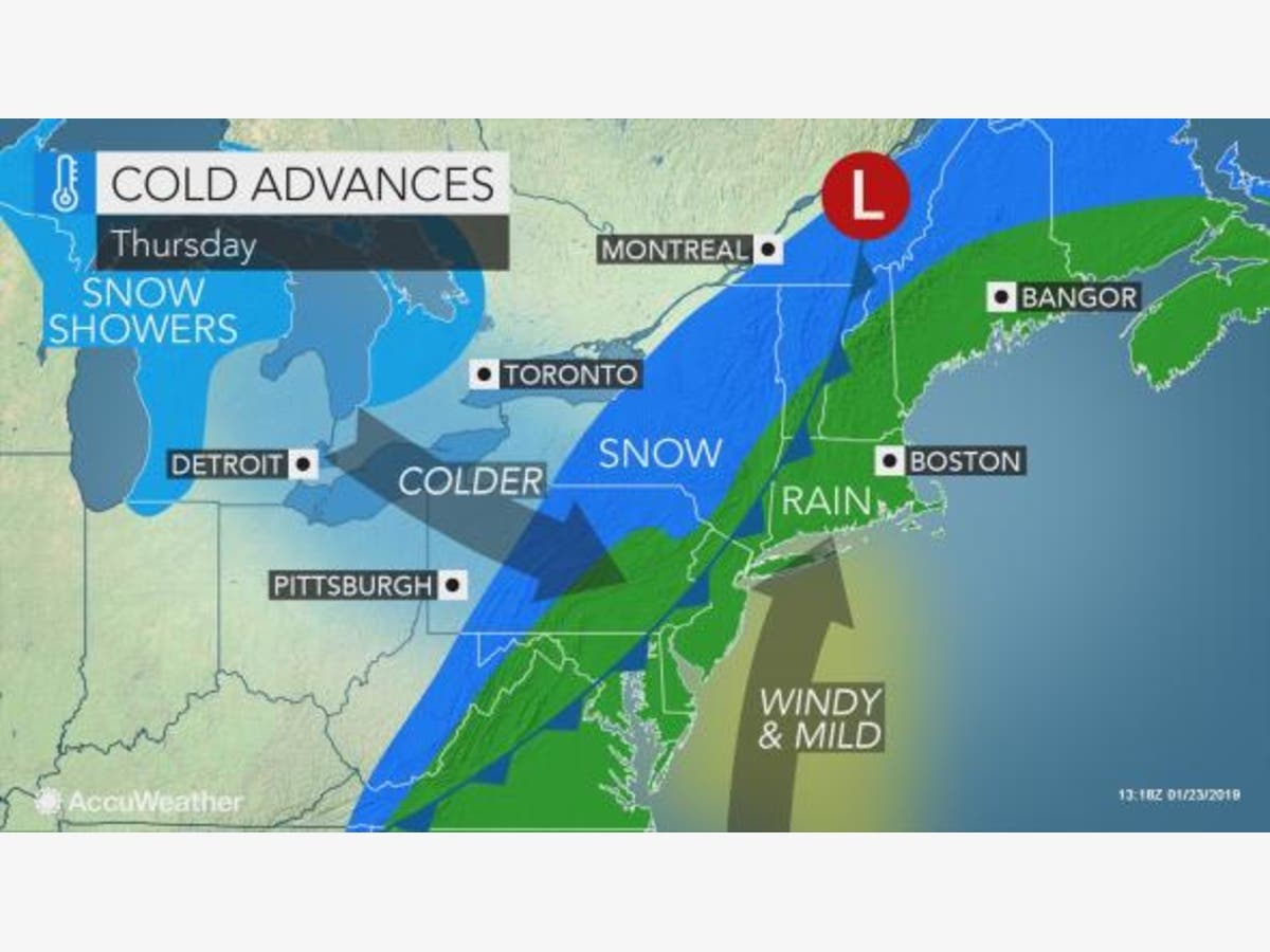
HUDSON VALLEY, NY — With up to 2.5 inches of rain coming our way, the National Weather Service has issued a flash flood watch for the lower Hudson Valley. It goes into effect Thursday at 6 a.m. and is set to expire at 6:p.m.
Low pressure approaches the Tri-State Area today and passes through on Thursday. Rain tonight becomes potentially heavy at times Thursday morning with the potential of heavy downpours into early afternoon. A total of 1.25 to 2.50 inches of rainfall with locally higher amounts could occur with this event, however most of it falls during Thursday. Flash flooding of urban and poor drainage areas, as well as small streams will therefore be possible Thursday.
The potential for flooding increases where the deep freeze iced over any areas of standing slush or water. It rises more in Orange, Putnam and northern Westchester communities where it snowed Sunday. There, subsequent rain, sleet and the flash freeze left a thick, frozen crust that won't absorb water.
Temperatures will soar as the rain front comes in, but they won't last long.
Find out what's happening in Ossining-Croton-On-Hudsonfor free with the latest updates from Patch.
"The rain will push through during the middle of the day, and then things dry out and turn sharply colder once again by sunset," said Alex Marra and Bill Potter of Hudson Valley Weather.
The low Thursday night will drop to about 19 degrees, with gusty winds.
Find out what's happening in Ossining-Croton-On-Hudsonfor free with the latest updates from Patch.
Image: AccuWeather.com
Get more local news delivered straight to your inbox. Sign up for free Patch newsletters and alerts.


