Weather
Hotter, Drier In The Hudson Valley: Hazardous Outlook Issued
Temps are still climbing, but the roller coaster will plunge over the weekend, though. Here's the latest.

HUDSON VALLEY, NY — Risky weather continues throughout the region, and the National Weather Service has issued a hazardous outlook for the lower Hudson Valley because the conditions could aid wildfires to spread if — when — they occur.
For Orange, Putnam, Rockland and Westchester counties, a dry air mass will combine with west to northwest winds to create conditions conducive for fire spread from late Wednesday morning into early evening, the NWS said. Relative humidity is expected to decrease to 30 percent during this time, along with winds at 10 to 15 mph with gusts up to 25 mph.
For Dutchess and Ulster counties, a special weather statement was issued Wednesday morning: Minimum relative humidity values will drop to around 25 to 40 percent in the Catskills, Taconics, and Mid-Hudson Valley in the afternoon. This combined with northwesterly winds of 10 to 20 mph gusting to 20 to 30 mph will contribute to an elevated risk for fire spread.
Find out what's happening in Ossining-Croton-On-Hudsonfor free with the latest updates from Patch.
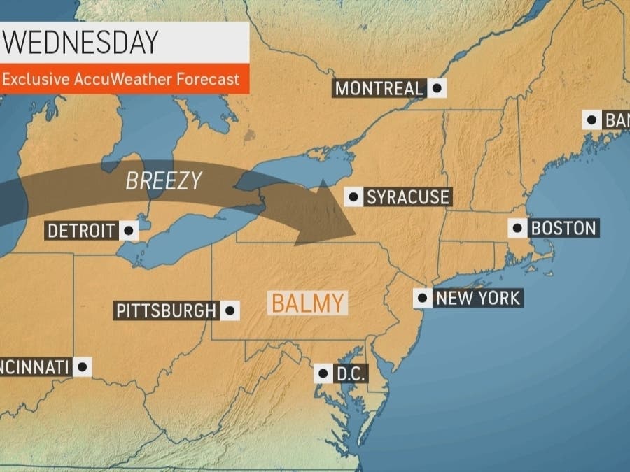
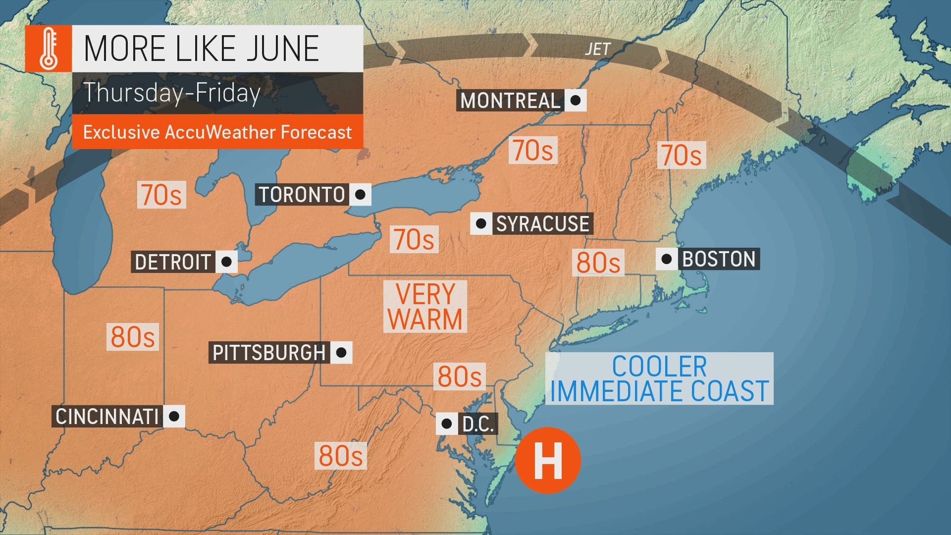
Temperatures will keep climbing through Friday from the upper 70s into the high 80s.
Then comes the jolt: temps will plunge 15 degrees or so Saturday. There's even a chance of showers.
Find out what's happening in Ossining-Croton-On-Hudsonfor free with the latest updates from Patch.
Here's the 5-day forecast from the NWS based on northern Westchester:
- Wednesday - Mostly sunny. Highs in the upper 70s. Northwest winds 10 to 15 mph with gusts up to 25 mph.
- Tonight - Mostly clear. Lows in the upper 50s. West winds 5 to 10 mph. Gusts up to 20 mph in the evening.
- Thursday - Sunny. Highs in the mid 80s. West winds 10 to 15 mph.
- Thursday Night - Mostly clear in the evening, then becoming partly cloudy. Lows in the upper 50s. West winds 5 to 10 mph.
- Friday - Mostly sunny. Highs in the mid 80s. West winds around 5 mph.
- Friday Night - Partly cloudy in the evening, then becoming mostly cloudy. Lows in the mid 50s.
- Saturday - Mostly cloudy. A chance of showers in the afternoon. Highs in the lower 70s. Chance of rain 30 percent.
- Saturday Night - Mostly cloudy with a 30 percent chance of showers. Lows in the mid 50s.
- Sunday - Mostly cloudy with a 40 percent chance of showers. Highs in the upper 60s.
- Sunday Night - Mostly cloudy with a 50 percent chance of showers. Lows around 50.
- Monday - Partly sunny with a 50 percent chance of showers. Highs in the lower 60s.
Waves of chilly air will follow next week and into May, AccuWeather forecasters said.
The Hudson Valley is prone to wildfires, including most of the large fires in New York between 2003-17.
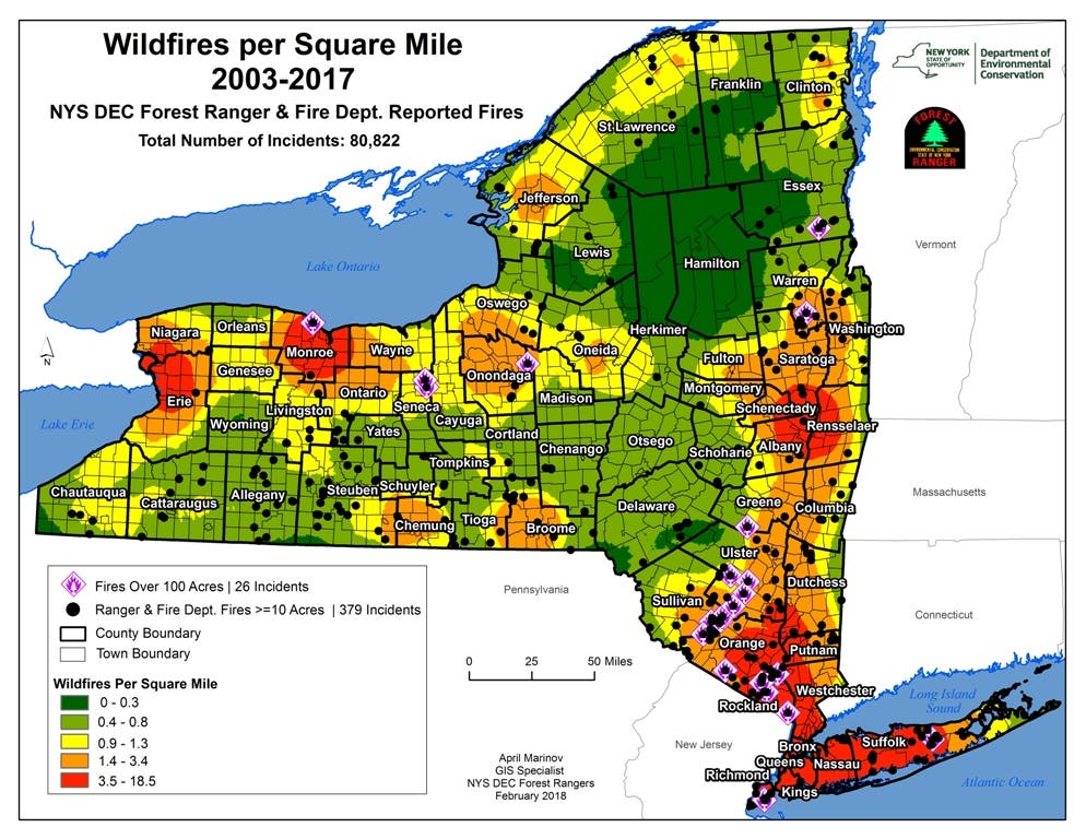
For example, a massive spring wildfire in 2015 burned more than 2,000 acres in the Shawangunk Ridge State Forest. Officials suspected it began with a homeowner burning debris.
The state's annual burn ban is in effect until May 16. SEE: Weekend Wildfire In Putnam Prompts Reminder From NY Officials
The other risk associated with unseasonably warm temps is that everything is bursting into leaf.
"As buds burst into blooms over the region, tree, grass and flower pollen will be on the rise and can lead to some difficulties for people with allergies," said Alex Sosnowski, AccuWeather senior meteorologist.
SEE:
Get more local news delivered straight to your inbox. Sign up for free Patch newsletters and alerts.


