Weather
Hudson Valley Snow: NWS Issues Hazardous Weather Outlooks
Here are the latest snow accumulation estimates.


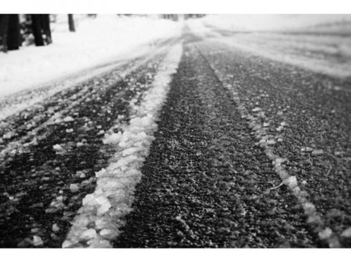
HUDSON VALLEY, NY — Here comes the next wintry-mix storm. It's not a big one. Much of it will be snow, an inch or so south of I-287 and 2-5 inches north of I-84.
Some pockets of heavier snow could fall up to an inch an hour. The biggest concern could be Monday morning, as snow is expected to fall through the morning commute for those who have to work on Presidents Day.
"A weak low pressure with minimal moisture will give 100% effort to try and be a little over-achiever Sunday night into Monday," said Alex Marra and Bill Potter of Hudson Valley Weather.
Find out what's happening in Ossining-Croton-On-Hudsonfor free with the latest updates from Patch.
In Dutchess and Ulster counties the National Weather Service predicts:
Total snow accumulations of 2 to 5 inches expected from 9 PM this evening to 1 PM EST Monday. Plan on slippery road conditions and low visibility. Travel will be particularly hazardous late tonight into Monday morning.
In Orange, Putnam, Rockland and Westchester counties NWS predicts:
Find out what's happening in Ossining-Croton-On-Hudsonfor free with the latest updates from Patch.
Snow and mixed precipitation expected. Total snow accumulations of 2 to 4 inches and ice accumulations of a light glaze expected from 9 PM this evening to 10 AM EST Monday.
The hazardous conditions could impact the morning commute for those working or going to school on Washington`s Birthday.
Get more local news delivered straight to your inbox. Sign up for free Patch newsletters and alerts.