Weather
NWS: Severe Storms From Brewster To Long Island Sound
National Weather Service advisories were issued at 7:41 p.m. and 8:11 p.m.

The National Weather Service issued a special advisory for Westchester and Putnam counties at 8:10 p.m.
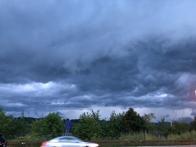
Radar indicated strong thunderstorms were located along a line extending from Gaylordsville to 6 miles south of Brewster to near White Plains. Movement was northeast at 50 mph. Winds in excess of 30 mph are possible with these storms.
This storm line could also affect all of southern Westchester from Yonkers to Port Chester.
Find out what's happening in Ossining-Croton-On-Hudsonfor free with the latest updates from Patch.
Heavy rainfall is also occurring with these storms, and may cause localized flooding. Do not drive your vehicle through flooded roadways, the NWS warned.
The advisory came on the heels of a special weather statement at 7:41 p.m. The NWS said radar indicated strong thunderstorms were located along a line extending from 6 miles south of Millbrook to near West Point to near Kinnelon. Movement was east at 20 mph. Winds in excess of 30 mph were possible with these storms.
Find out what's happening in Ossining-Croton-On-Hudsonfor free with the latest updates from Patch.
Locations affected included New City, Paramus, Ossining, Ridgewood, Peekskill, Monsey, Nanuet, Ramsey, Ringwood, Haverstraw, Tarrytown, Pompton Lakes and Mount Kisco.
.gif)
Get more local news delivered straight to your inbox. Sign up for free Patch newsletters and alerts.


