Weather
Ida Remnants: Hazardous Outlook Updated For Lower Hudson Valley
Flooding is a possibility, especially across urban and poor drainage areas.

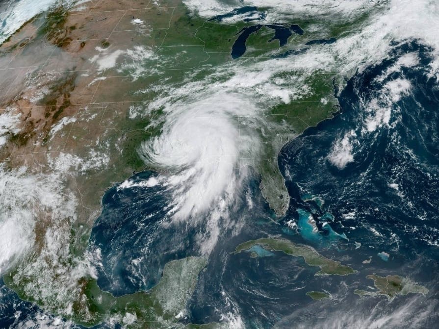
HUDSON VALLEY, NY — The National Weather Service has updated its hazardous weather outlook for the lower Hudson Valley, warning cautiously about what's left of Hurricane Ida.
Remnants of Ida are expected to ride east-northeast along a frontal boundary into the region arriving Wednesday into Thursday. "More than 2 inches of rainfall is forecast to expand from the Tennessee Valley into portions of the Northeast and southern New England," said Courtney Travis, AccuWeather senior meteorologist.
A period of moderate to heavy rain is now likely for Orange, Putnam, Rockland and Westchester counties. Flooding is a possibility, especially across urban and poor drainage areas.
Find out what's happening in Ossining-Croton-On-Hudsonfor free with the latest updates from Patch.
However, there still is uncertainty as to where the heaviest rain will be, forecasters said. Accuweather meteorologists posted this forecast Monday morning.
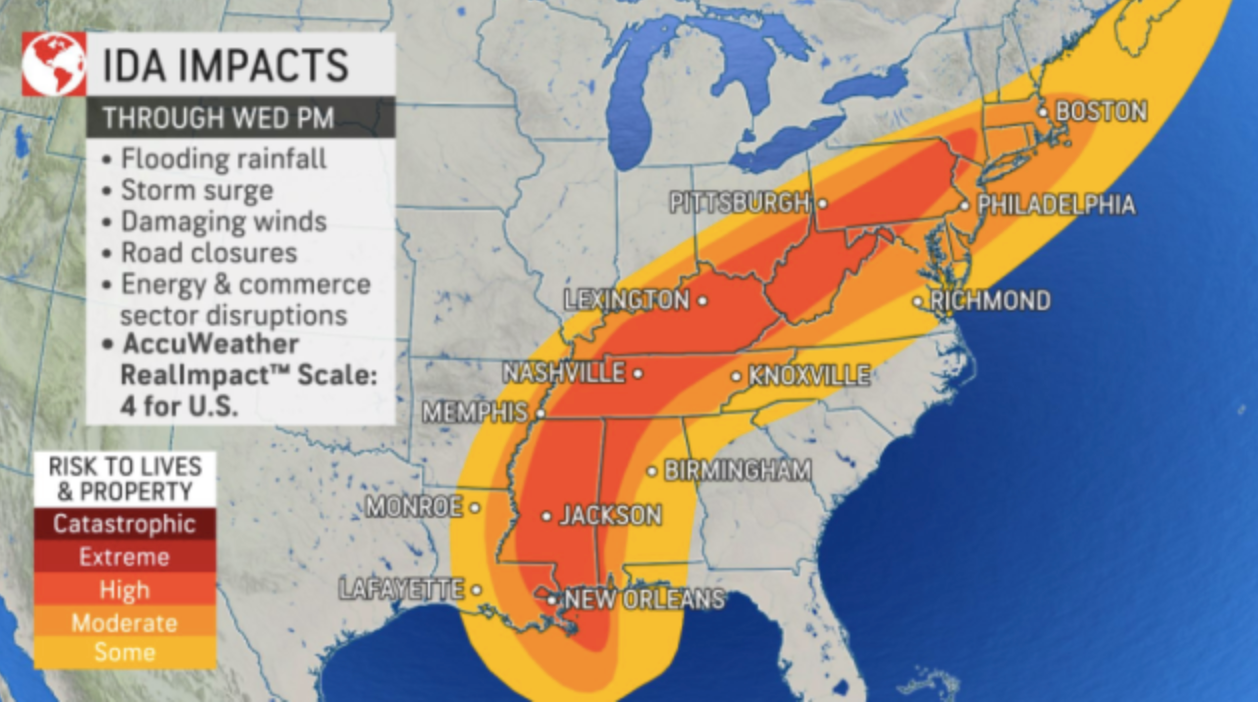
Also uncertain is whether there will be any impact in the mid-Hudson.
Find out what's happening in Ossining-Croton-On-Hudsonfor free with the latest updates from Patch.
Keep checking back with Patch for updates.
Get more local news delivered straight to your inbox. Sign up for free Patch newsletters and alerts.


