Weather
Thunderstorms, Hail, Tornado Possible: Hudson Valley Forecast
Hazardous outlooks have been issued across the region.

HUDSON VALLEY, NY — A cold front coming through will bring high winds and thunderstorms Saturday evening, and the National Weather Service has issued hazardous outlooks for Dutchess, Orange, Putnam, Rockland, Ulster and Westchester counties.
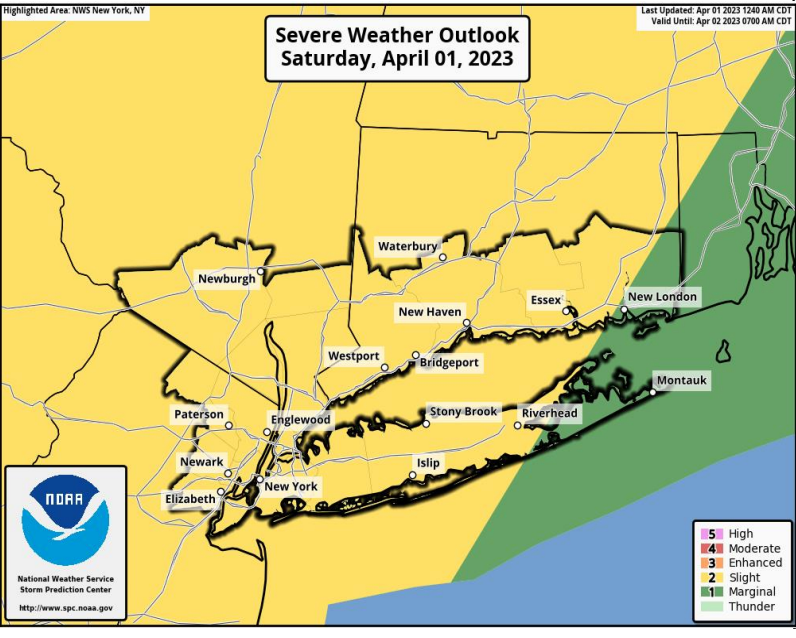
The primary threat is from damaging wind gusts. Wind gusts in excess of 58 mph could damage trees and power lines and result in scattered power outages.
An isolated, brief tornado is also possible.
Find out what's happening in Ossining-Croton-On-Hudsonfor free with the latest updates from Patch.
Hail around 1 inch in diameter is possible west of the Hudson River, and small hail is possible in any shower/thunderstorm this evening.
Specially in the mid-Hudson, the combination of rainfall and snowmelt may lead to isolated minor river flooding Saturday evening into Sunday, the NWS said.
Find out what's happening in Ossining-Croton-On-Hudsonfor free with the latest updates from Patch.
The timing: this evening from 6 pm to 9 pm for NYC, Lower Hudson Valley , northeast New Jersey, and western portions of Fairfield County, Connecticut.
We could have a warm, sunny afternoon first, the folks at Hudson Valley Weather said.
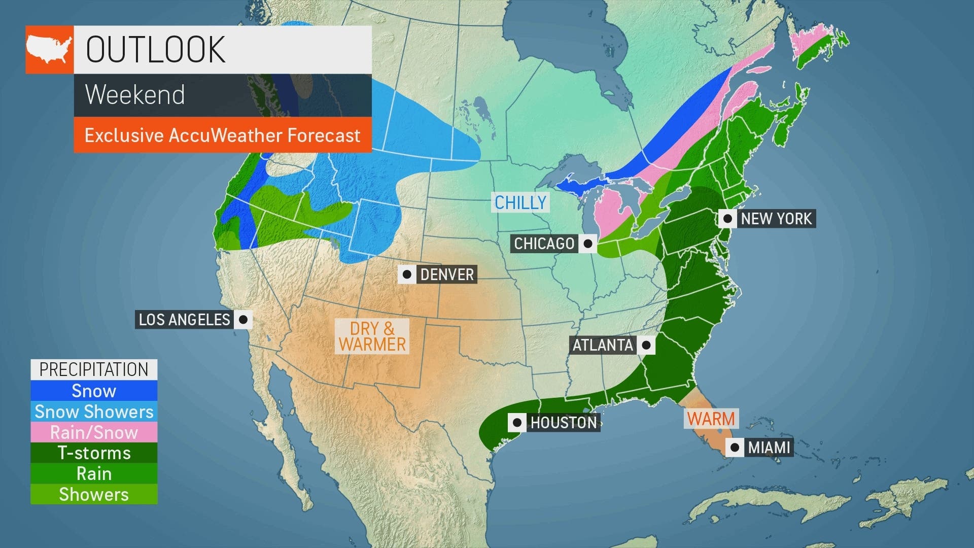
"The risk of severe thunderstorms will extend from New York state and southwestern New England to as far south as Georgia and northern Florida on Saturday," said Alex Sosnowski, AccuWeather senior meteorologist. "As the storms approach regional and major airport hubs, ground stops are likely to be issued until the threat has passed."
Get more local news delivered straight to your inbox. Sign up for free Patch newsletters and alerts.


