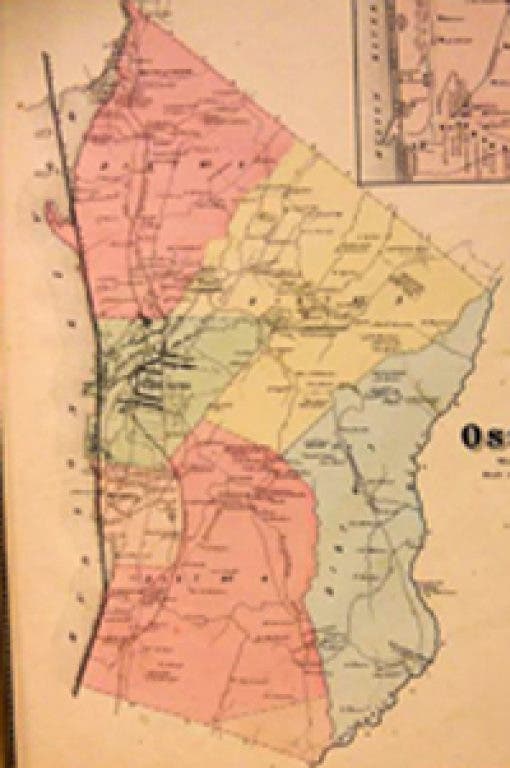
This exhibition displays a unique collection of original local area maps published between 1806 and the present.
Included are maps surveying the positions of Revolutionary War armies, a selection of topographical maps, Westchester County parkway system and various historical renderings of Briarcliff Manor, Pleasantville, Mt. Pleasant, Ossining, Peekskill and more.