Community Corner
Heavy Rain, Gusty Winds Set to Lash Long Island
Coastal flooding will also be possible Tuesday afternoon and evening. Check out the latest forecast.

UPDATE 2:40 p.m.: The NWS has issued the following special weather statement for all of Long Island:
STRONG GUSTY WINDS WILL CONTINUE THIS AFTERNOON AHEAD OF AN APPROACHING COLD FRONT. WIND GUSTS BETWEEN 40 AND 45 MPH ARE LIKELY THIS AFTERNOON WHICH COULD DOWN A FEW TREES AND POWER LINES. WIND GUSTS 50 AND 55 MPH ARE POSSIBLE BETWEEN 3 AND 5 PM AS A NARROW BAND OF HEAVY RAINFALL MOVES THROUGH THE AREA. THERE COULD ALSO BE A FEW ISOLATED GUSTS UP TO 58 MPH. THESE WINDS COULD ALSO BRING DOWN TREES AND POWER LINES.
Original story:
Tuesday morning was dry across Long Island and temperatures have climbed more than 50 degrees since dropping below zero in the some areas Sunday morning, but things are about to get very wet.
Heavy rain, gusty winds and a possible thunderstorm are in the forecast for Tuesday afternoon and evening. Coastal flooding will be a concern.
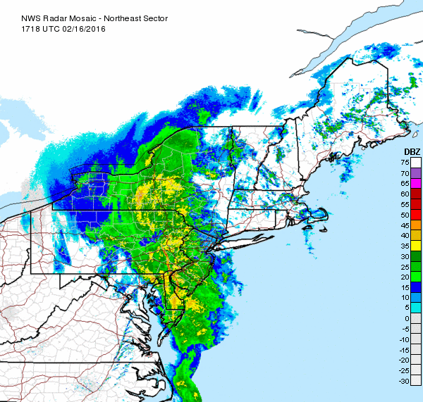
The storm system, which has triggered a severe thunderstorm warning for parts of New Jersey and Pennsylvania, is expected to drop more than three-quarters of an inch of rain across Long Island. Wind gusts may reach 40 mph.
The following coastal flood advisories have been issued:
- Southern Nassau/southwestern Suffolk from 1 p.m. to 6 p.m.
- Eastern Suffolk from 3 p.m. to 8 p.m.
Excess water on the roads will raise the risk of hydroplaning, while the nature of the rain and wind will create low visibility for motorists, according to AccuWeather.
The rain will taper off Tuesday evening and then a cold front will move across the region.
Here’s the full forecast:
Tuesday Afternoon- Rain likely, then rain and possibly a thunderstorm after 2pm. Some of the storms could produce gusty winds and heavy rain. High near 57. Windy, with a south wind 23 to 26 mph, with gusts as high as 37 mph. Chance of precipitation is 90%. New rainfall amounts between a quarter and half of an inch possible.
Tuesday Night- Rain likely, mainly before 7pm. Cloudy, then gradually becoming partly cloudy, with a low around 34. Breezy, with a southwest wind 15 to 20 mph becoming northwest 7 to 12 mph after midnight. Chance of precipitation is 60%. New precipitation amounts between a tenth and quarter of an inch possible.
Wednesday- Mostly sunny, with a high near 42. Wind chill values between 30 and 35. West wind 6 to 10 mph.
Wednesday Night- Partly cloudy, with a low around 27. Wind chill values between 20 and 25. Northwest wind 6 to 9 mph.
Thursday- Sunny, with a high near 37. North wind 9 to 14 mph.
Get more local news delivered straight to your inbox. Sign up for free Patch newsletters and alerts.