Crime & Safety
County Road 39 Closed As U.S. Open Pedestrian Bridge Comes Down
See the details of detour routes here.

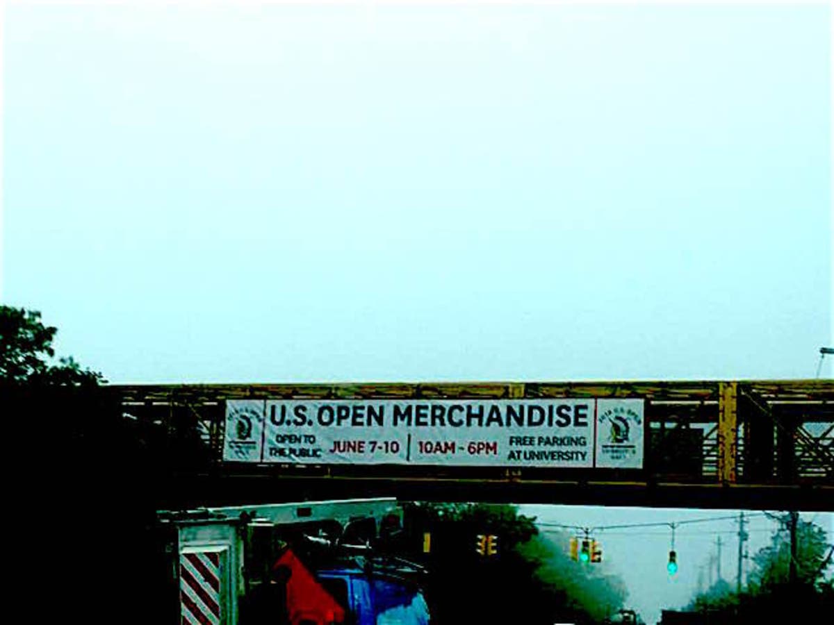
SOUTHAMPTON, NY — County Road 39 will be closed overnight in Southampton for eight hours, beginning at 9 p.m. on Tuesday through 5.m. on Wednesday, to remove the U.S. Open pedestrian bridge at Shinnecock Road, town officials said.
During those hours, eastbound passenger vehicles will be detoured at Exit 65 on Sunrise Highway, or New York State Route 27. Westbound passenger vehicles will be detoured through Southampton Village at Route 27 and Flying Point Road.
Details of detour routes and information for truck traffic are listed below.
Find out what's happening in Southamptonfor free with the latest updates from Patch.
County Road 39 Overnight Closure
9 p.m. Tuesday to 5 a.m. Wednesday
Find out what's happening in Southamptonfor free with the latest updates from Patch.
Eastbound detour alternate routes:
Route 1: Trucks and other vehicles
Exit Route 27 east at Exit 65 South onto Route 24 South. Make a left onto eastbound Montauk Highway, or County Road 80, at the traffic signal, then continue east through Hampton Bays. Continue on Montauk Highway east onto Hill Street, then turn left at the traffic signal onto Windmill Lane in the Village of Southampton and continue to the traffic signal at Nugent Street. Turn right, or east, at the traffic signal onto Nugent Street and continue onto Hampton Road eastbound. Continue straight through the traffic signal at the County Road 39A/Hampton Road/Flying Point Road/Route 27 intersection, and continue to points east on New York State Route 27.
Route 2, Truck Height Restricted
Exit Route 27 at Exit 66, North Road, Shinnecock; at the stop sign at the end of the ramp, turn left onto North Road, southbound. Turn left onto eastbound Montauk Highway, or County Road 80/SR27A. Continue on Montauk Highway eastbound onto Hill Street, turn left at the traffic signal onto Windmill Lane in the Village of Southampton and continue to Nugent Street. Turn right, or east, at the traffic signal onto Nugent Street and continue onto Hampton Road eastbound. Continue straight through the traffic signal at the Hampton Road/County Road 39A/Flying Point Road, Route 27 intersection. Continue to points east on NYS Route 27.
Route 3, No Trucks Over 10,000 Lbs.
Stay on Route 27 east onto County Road 39 eastbound, turn left onto Shrubland Road, continue onto Sebonac Road, turn right onto southbound Magee Street, and turn left at traffic signal onto eastbound County Road 39.
Residents of the Greenfield Rd./St. Andrews Rd. West subdivision can access their neighborhood at the Shrubland Rd. closure point on CR 39, with proof of address.
Access to the neighborhood cannot be accommodated from the Tuckahoe Lane closure point.
County Road 39 Overnight Closure
9 p.m. Tuesday to 5 a.m. Wednesday
Westbound detour alternate routes:
Route 1, Trucks and other vehicles.
On westbound Route 27 in Water Mill, continue straight through the CR39A/Flying Point Road/Hampton Road traffic signal; continue west on Hampton Road to Nugent Street, turn left, south, onto Windmill Lane. Continue straight through. Turn right, or west, at traffic signal onto Hill Street, continue west onto Montauk Highway, or SR27A/CR80, through Hampton Bays. Turn right onto NYS Route 24 north. Follow Route 24N to westbound Route 27 entrance ramp.
Route 2, No Trucks Over 10,000 Lbs.
Continue west on CR39 to Tuckahoe Lane. Turn right onto northbound Tuckahoe Lane; turn left onto westbound Sebonac Road, and continue onto Shrubland Road. Turn right at CR39 onto westbound CR39 to Route 27 west.
Route 3, No Trucks Over 10,000 Lbs.
Continue west on CR39 to Tuckahoe Lane, turn left onto southbound Tuckahoe Lane, turn right onto westbound Montauk Highway, or SR27A. Continue west on Montauk Highway, CR80, through Hampton Bays. Turn right onto NYS Route 24 north. Follow Route 24N to westbound Route 27 entrance ramp.
Residents of the Greenfield Rd./St. Andrews Rd. West subdivision can access their neighborhood at the Shrubland Rd. closure point on CR 39, with proof of address.
Access to the neighborhood cannot be accommodated from the Tuckahoe Lane closure point.
Patch photo by Lisa Finn.
Get more local news delivered straight to your inbox. Sign up for free Patch newsletters and alerts.