Community Corner
The Best Fall Hikes In Southeastern Pennsylvania
Autumn is here, and with it come some of the most pleasant and beautiful weeks of hiking opportunities all year.

Autumn is here. As the cool winds blow leaves from the trees, so too are the remnants of summer gusted from the muggy forests of the Delaware Valley. And with that comes some of the most pleasant and beautiful weeks of hiking in late September and October.
Below we’ve cobbled together a list of some of the best hikes from around the five-county Philadelphia area. Doubtlessly many regional gems have been snubbed, but this list isn't meant to be comprehensive. Each trail was selected for its distinctiveness, range of ecosystems represented, viewpoints offered, and, perhaps most important for a good hike, the sense of adventure afforded.
One word of caution: at every location listed below, ticks and poison ivy are common well into the fall months. Always stay on marked trails. Poison ivy is most common along trail edges and near areas of recent human disturbance, while ticks thrive in tall grass. Check yourself for ticks after you hike, and if you think you've brushed some poisonous flora, scrub yourself as soon as possible.
Find out what's happening in Montgomeryville-Lansdalefor free with the latest updates from Patch.
- Black Rock Sanctuary and Lock 60 to Upper Schuylkill Valley Park, Phoenixville/Upper Providence
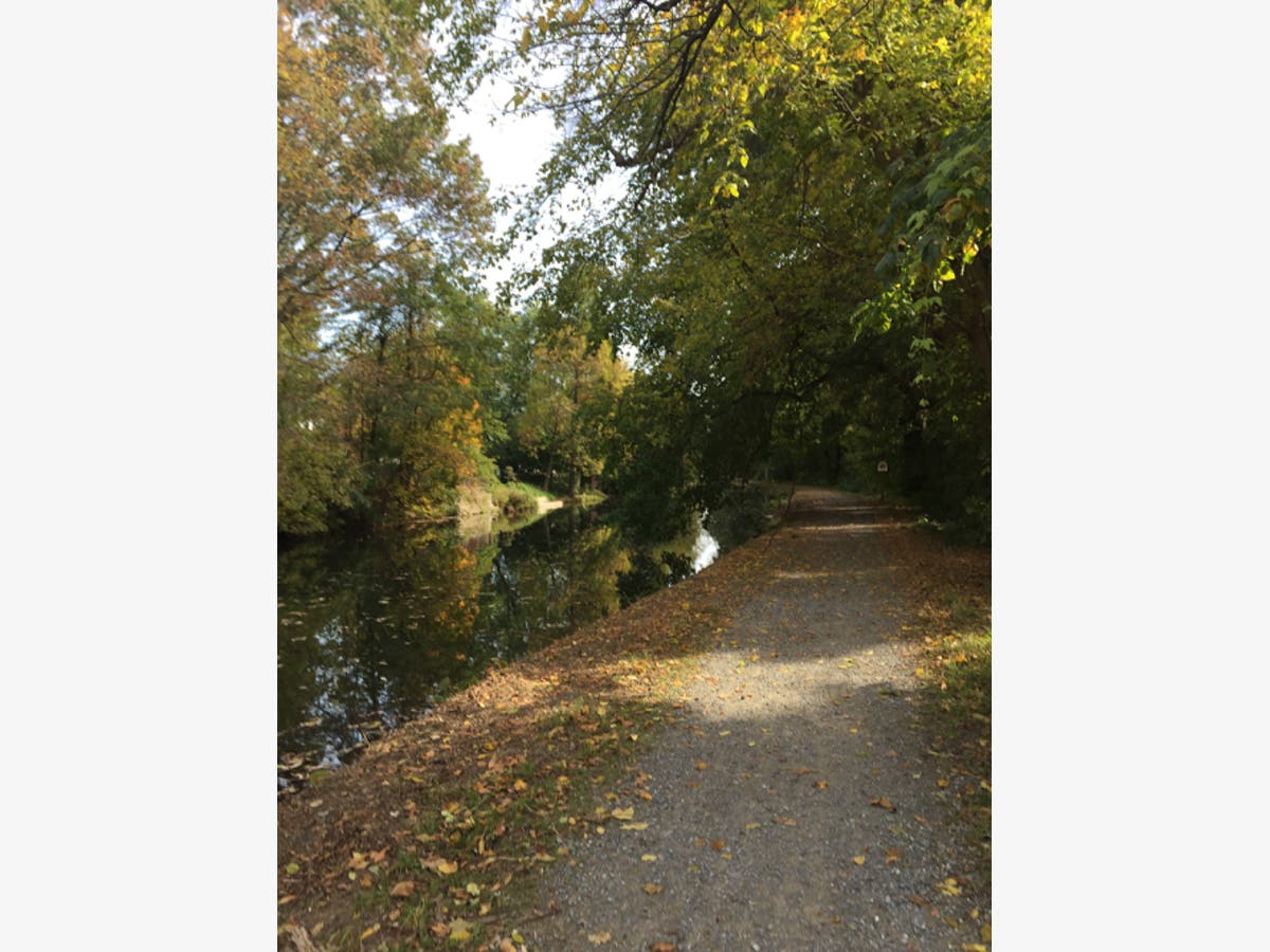
Address: Black Rock Sanctuary is located on 953 Black Rock Road, Phoenixville. The Lock 60 parking area is at the end of a long, narrow strip of road between the canal and the river at 400 Towpath Road, Mont Clare.
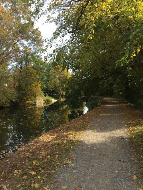
Across the river is Chester County and the Black Rock Sanctuary, which is an important stop for migratory birds and a variety of waterfowl. Open grass fields surround the parking lot on Black Rock Road, and visitors hoping to catch a glimpse of some of the park’s aerial biodiversity can take a stroll through the open fields, following dozens of feeders and passing through different habitats uniquely suited to different birds. Hikers proceeding straight ahead from the lot will enter the woods. The forest is thick here, and the air is filled with the calls of songbirds and frogs. The area is marshy, and trails become wet the closer you progress to the Schukyll River. An interpretive, ADA-accessible, paved trail is perfect for a more casual hike, and includes picture exhibits for children. As long as warm weather persists, mosquitoes and gnats can be especially troublesome here as dusk approaches or after a significant rainfall.
Find out what's happening in Montgomeryville-Lansdalefor free with the latest updates from Patch.
- Lower trailhead at Cedar Lane, Evansburg State Park, Collegeville
Address: Cedar Lane, Collegeville
- Orange Trail, Wissahickon Valley, Fairmount Park, Philadelphia
Address: There are dozens of access points to the valley throughout Philadelphia and Montgomery County. Accessing the southern end of the park is easiest via Historic RittenhouseTown, 208 Lincoln Drive, Philadelphia. There are two lots just off Lincoln Drive.

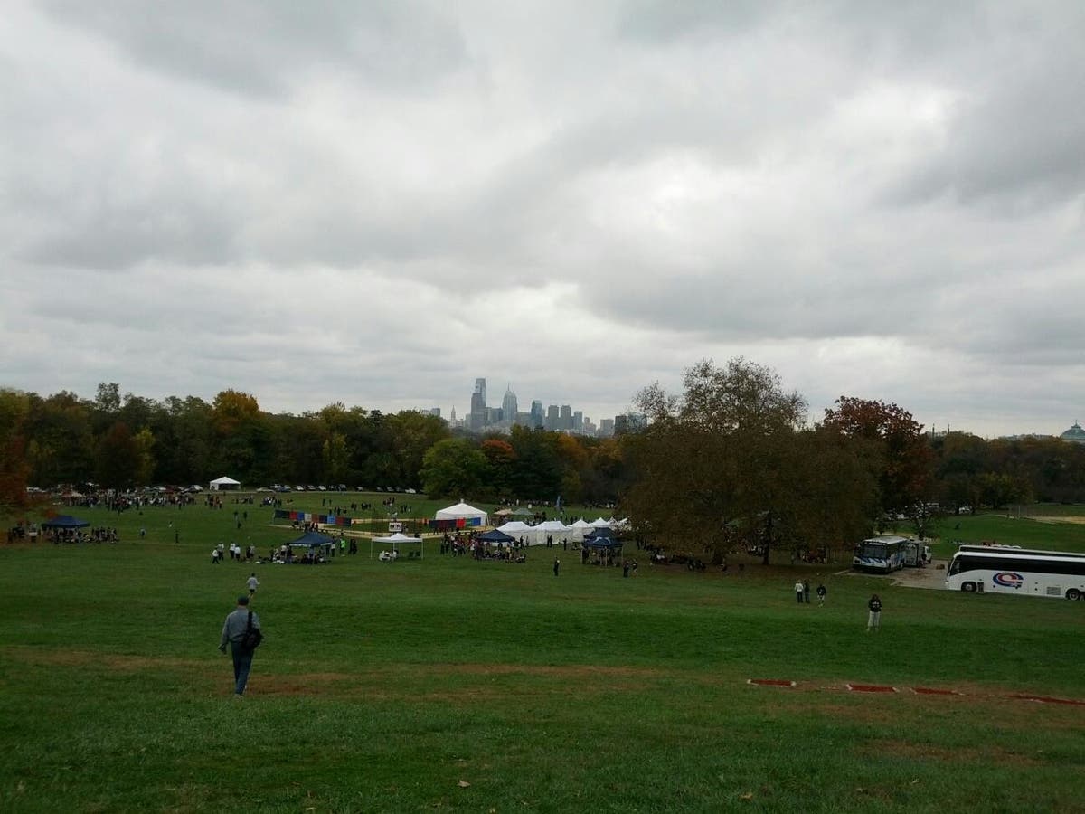
- Side trails, Belmont Plateau, Fairmount Park, Philadelphia
Address: Army Road and Belmont Mansion Drive, Philadelphia
- White Trail, Ridley Creek State Park, Media
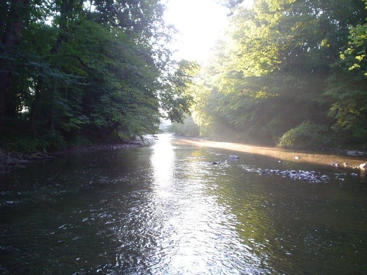
Park headquarters are located near the center of the park, accessed by a beautiful drive through forested roads. From headquarters, head through the woods to the paved road that is blocked to traffic. From here there are numerous side trails which ascend up the banks of Ridley Creek and ultimately wind all the way to Tyler Arboretum, whose property is adjacent to the state park. The White Trail is short hike down this road. It parallels the creek for at time and features numerous opportunities to cross smaller tributaries, as well as waterfalls and numerous footbridges. The trail is a loop and is just under a five mile hike all-told. However, there are several opportunities along the trail to turn off and head back to park headquarters.
- Cynwyd Trail, Bala Cywyd-Manayunk
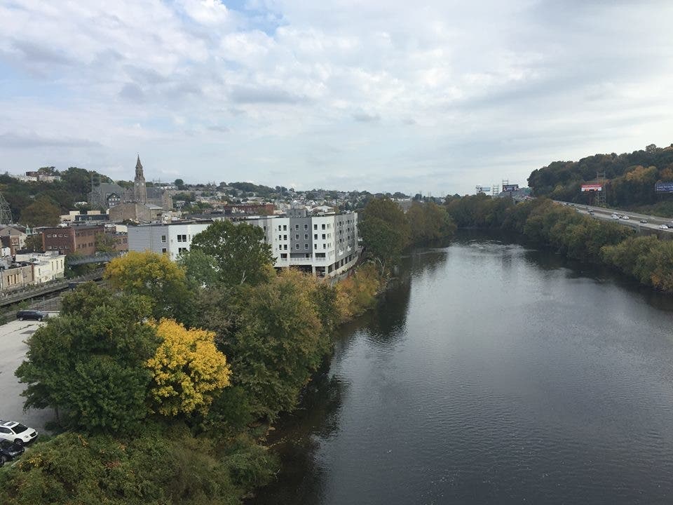
The Cywynd Trail runs for two miles from the Manayunk Bridge trailhead to its terminus at Cynwyd Rail Station, now home to the friendly confines of the Trail's End Cafe. Along the way, you'll encounter towering views of the Schuylkill River and Manayunk from the old converted rail bridge, a crew of goats who are doing some environmentally-friendly landscaping just off the trail, and a short, shaded side trail with benches that overlook a thin stream (yes, the goats are behind a short wire fence, and yes, they have been known to pose for photos in hopes of gaining social media fame). The Cynwyd Trail is adjacent to the scenic West Laurel Hill Cemetery, and a well-marked right of way through the wrought-iron gates, left ajar, will take intrepid hikers through the cemetery and back onto Main Street Manayunk via the Pencoyd Bridge (just don't touch the bridge's fence).
- Covered Bridge Trail, Tyler State Park, Newtown
Address: 101 Swamp Road, Newtown
#/media/File:SchofieldFordCoveredBridge.jpg)
- Horseshoe Trail, Malvern-East Whiteland
Address: Great Valley Nature Center, 4251 State Road, Devault
Due to the presence of the iron industry in 18th and 19th century southeastern Pennsylvania, there are many furnaces and forges scattered throughout the region. The skeleton of trail networks that eventually popped up to traverse between these locations would later become the basis for the Horse-Shoe Trail, a 148 mile path from Valley Forge to the Appalachian Trail near Harrisburg. Its terminus is at Stony Mountain in Dauphin County. One of its most beautiful stretches is near the beginning, a hilly, rocky stretch that can be accessed from the Great Valley Nature Center, just a five minute drive from the populous Great Valley Corporate Center. From that point, the trail is heavily shaded in either direction, though hilly and rocky at points. Deer are common, as are beavers and many different kinds of birds. Several creeks intersect the trail, crossing and re-crossing it. Arms of Pickering Creek trickle past the Center. If you go, be mindful that a hike longer than a half mile or so will involve road crossings, and could involve brief stretches on the actual road (it's well-marked, with spray markings on trees and telephone poles). If you want to stay near the Center, there is a replica Lenape Indian Village on site, in addition to a wildflower garden, colonial-era maple sugar house, and a Bird of Prey center (check hours here).
Main image via Justin Heinze
Get more local news delivered straight to your inbox. Sign up for free Patch newsletters and alerts.