Community Corner
'Damaging' Wind And Flooding Possible Thursday: Forecasters
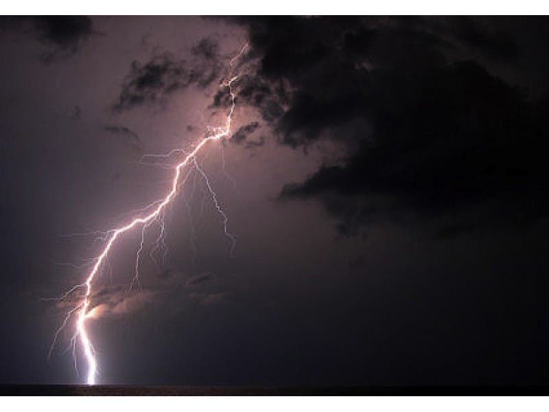
A hazardous weather outlook has been issued for the Eastern Pennsylvania region and beyond as heavy thunderstorms are anticipated Thursday.


By Justin Heinze:
A hazardous weather outlook has been issued for the Eastern Pennsylvania region Thursday as heavy thunderstorms are anticipated, according to the National Weather Service. The following counties are included in the NWS’s hazardous weather outlook: Carbon, Monroe, Berks, Lehigh, Northampton, Delaware, Philadelphia, Chester, Montgomery and Bucks.
The severe weather is not expected to hit the area until around 7 p.m., according to Weather.com.
Find out what's happening in Levittownfor free with the latest updates from Patch.
There is a 55 to 60 percent chance of scattered thunderstorms throughout much of the evening, beginning at around 6 p.m. and continuing past 10 p.m.
Some of the rainfall could result in localized flash flooding, according to the outlook.
Find out what's happening in Levittownfor free with the latest updates from Patch.
Locally strong and damaging winds are also possible.
Here’s the National Weather Service’s official outlook for the evening:
Showers and thunderstorms likely before 1am, then a slight chance of showers between 1am and 2am. Some of the storms could produce gusty winds and heavy rain. Mostly cloudy, with a low around 71. South wind 10 to 16 mph becoming west after midnight. Chance of precipitation is 70%. New precipitation amounts between a half and three quarters of an inch possible.
Get more local news delivered straight to your inbox. Sign up for free Patch newsletters and alerts.