Weather
Oppressive Heat, Hurricane Barry Remnants On The Way To PA
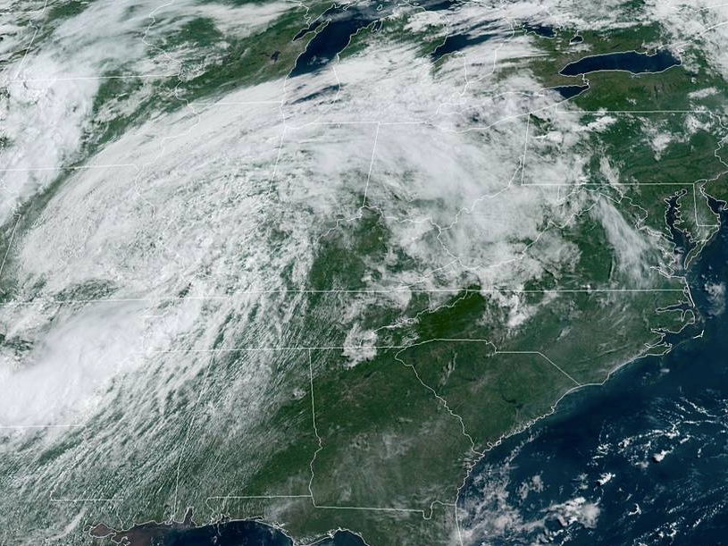
Get ready for a dose of extreme heat and potential strong storms as remnants from Hurricane Barry pass through the region.

Get ready for a dose of extreme heat, which will last through the weekend across the Philadelphia region. The National Weather Service has issued an Excessive Heat Watch starting Wednesday morning and going through Sunday evening.
Additionally, heavy rain and flooding is possible Wednesday night into Thursday as the remnants of Hurricane Barry pass through the region, the NWS said.
Unfortunately, the storms won't do much to cool the air down: heat index values will get as high as 110 by Friday, forecasters predict. Heat Index values will range from 100 to 105 on Wednesday and Thursday.
Find out what's happening in Newtownfor free with the latest updates from Patch.
The highest temperatures will occur during the day but even at night, don't expect a break from the heat. "Given how hot and oppressive this airmass will be, there will not be much relief at night," the NWS said in its Excessive Heat Watch.
Meteorologists with NBC10 are predicting the heat will be the most extreme we've felt in years.
Find out what's happening in Newtownfor free with the latest updates from Patch.
The temperatures will present a risk of heat-related illnesses. People should plan on drinking plenty of water and staying in air conditioning as much as possible. Also, be sure to check up on neighbors and don't leave your pets outside.
Here is the local forecast:
Today: Mostly sunny, with a high near 92. Southwest wind 5 to 7 mph.
Tonight: A slight chance of showers and thunderstorms. Mostly cloudy, with a low around 73. Southwest wind around 5 mph becoming calm in the evening. Chance of precipitation is 20%.
Wednesday: A chance of showers and thunderstorms after 2pm. Partly sunny, with a high near 93. Heat index values as high as 102. West wind 3 to 7 mph. Chance of precipitation is 50%. New rainfall amounts of less than a tenth of an inch, except higher amounts possible in thunderstorms.
Wednesday Night: A chance of showers and thunderstorms before 8pm, then showers likely and possibly a thunderstorm between 8pm and 2am, then a chance of showers and thunderstorms after 2am. Patchy fog. Otherwise, mostly cloudy, with a low around 73. Light southwest wind. Chance of precipitation is 60%. New rainfall amounts between a tenth and quarter of an inch, except higher amounts possible in thunderstorms.
Thursday: A chance of showers and thunderstorms, then showers likely and possibly a thunderstorm after 2pm. Some of the storms could produce heavy rain. Mostly cloudy, with a high near 89. Light southwest wind. Chance of precipitation is 60%. New rainfall amounts between a quarter and half of an inch possible.
Thursday Night: Showers likely and possibly a thunderstorm before 8pm, then a chance of showers and thunderstorms, mainly between 8pm and 2am. Patchy fog. Otherwise, mostly cloudy, with a low around 73. Chance of precipitation is 60%. New rainfall amounts of less than a tenth of an inch, except higher amounts possible in thunderstorms.
Friday: Widespread haze. Mostly sunny, with a high near 95.
Friday Night: Partly cloudy, with a low around 78.
Saturday: Widespread haze. Mostly sunny and hot, with a high near 98.
Saturday Night: Mostly clear, with a low around 76.
Sunday: Mostly sunny, with a high near 96.
Sunday Night: Partly cloudy, with a low around 75.
Monday: A chance of showers and thunderstorms. Partly sunny, with a high near 94. Chance of precipitation is 30%.
Get more local news delivered straight to your inbox. Sign up for free Patch newsletters and alerts.