Crime & Safety
WEATHER UPDATE: 'Damaging' Winds, Snow, Worst Cold Since 2004 Hitting Pennsylvania
Expect "damaging" tropical-storm-force gusts, causing long power outages. Trees and tree limbs could fall.

Perhaps the weather gods saved the worst for Valentine’s Day and President’s Day weekend.
Eastern Pennsylvania can expect “damaging” tropical-storm-force gusts, snow and some of the coldest temperatures they’ve had in 11 years beginning Friday, and lasting through the weekend.
The National Weather Service has issued three separate alerts, saying the brutal cold begins Friday, a “damaging” high wind event could occur Saturday and Sunday and at least two to four inches of snow could fall throughout the region.
Find out what's happening in Newtownfor free with the latest updates from Patch.
RELATED: How to Keep Warm During the ‘Polar Plunge’
What’s expected, according to the National Weather Service:
Find out what's happening in Newtownfor free with the latest updates from Patch.
- Northwest winds moving at 20 to 30 mph, with gusts up to 60 mph, are coming this weekend. The highest winds should occur late Saturday night, and last into Sunday morning.
- Be prepared for power outages, possibly lasting for more than 24 hours. Trees and tree limbs could be knocked down.
- Minor structural damage to homes is possible. Do not park vehicles where trees can fall on them. Make sure all cell phone and electronic devices are fully charged.
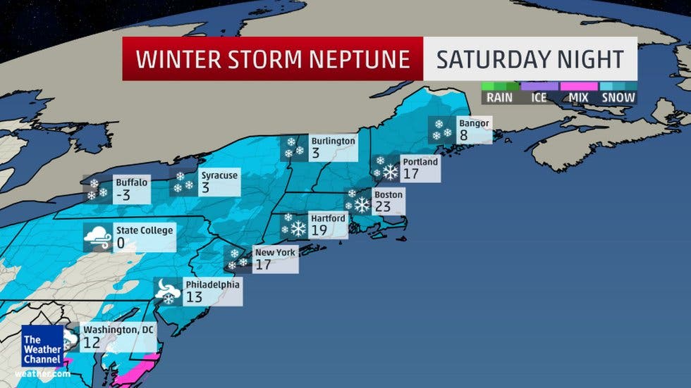
- Two to four inches of snow is expected Saturday afternoon and could last into saturday night. a burst of one to two inches of snow within an hour is possible around dinner time Saturday. The wind will cause some blowing and drifting problems.
- Wind chills will be around 10 below zero on Sunday morning.
Get more local news delivered straight to your inbox. Sign up for free Patch newsletters and alerts.