Community Corner
Excessive Heat Warning, Followed By 'Strong' Storms: NWS
Temperatures are expected to be in the mid 90s both days, with heat index values of 100 degrees, according the National Weather Service.

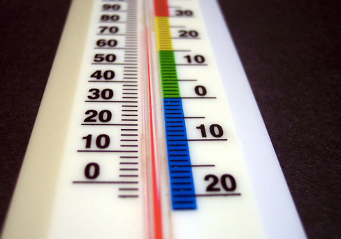
An excessive heat warning is in effect in the Philadelphia region from noon Wednesday until 6 p.m. Thursday.
Temperatures are expected to be in the mid 90s both days, with heat index values of 100 degrees, according the National Weather Service.
The NWS is warning that “strong” thunderstorms are possible Thursday afternoon and evening. The storms could produce brief flooding and damaging wind gusts, the NWS said.
Find out what's happening in Northamptonfor free with the latest updates from Patch.
Here is the local forecast for the next three days:
Today: Sunny, with a high near 93. Calm wind becoming southwest around 6 mph in the afternoon.
Find out what's happening in Northamptonfor free with the latest updates from Patch.
Tonight: Mostly clear, with a low around 74. Southwest wind around 6 mph becoming calm after midnight.
Thursday: Showers and thunderstorms likely, mainly after 5 pm. Partly sunny, with a high near 91. Southwest wind 6 to 10 mph. Chance of precipitation is 60%. New rainfall amounts between a tenth and quarter of an inch, except higher amounts possible in thunderstorms.
Thursday Night: Showers and thunderstorms likely, mainly before midnight. Mostly cloudy, with a low around 71. Southwest wind 3 to 7 mph. Chance of precipitation is 60%. New rainfall amounts between a quarter and half of an inch possible.
Friday Mostly sunny, with a high near 89. Light northwest wind becoming west 5 to 9 mph in the morning.
Friday Night: Mostly clear, with a low around 66.
Get more local news delivered straight to your inbox. Sign up for free Patch newsletters and alerts.