Weather
Pgh. Storm Update: Winter Weather Advisory, Wind Chill Warning Issued
The National Weather Service is offering new details on how bad the approaching 'bomb cycle' winter storm will be.

PITTSBURGH, PA — The National Weather Service has updated its forecast for the massive storm bearing down on Pittsburgh, and has issued both a winter weather advisory and a wind chill warning for the region.
The winter weather advisory will be in effect from 1 a.m. to 1 p.m. on Friday. The wind chill warning will last from 6 a.m. Friday until noon on Christmas Eve.
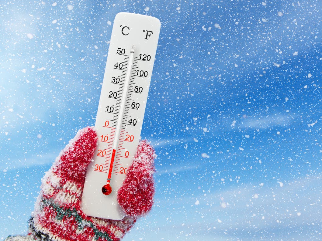
For the winter weather advisory, as much as two inches of snow could fall between 6 a.m.-8 a.m. on Friday. Accompanying the snow will be the possibility of flash freeze conditions as temperatures quickly plummet as much as 40 degrees.
Find out what's happening in Pittsburghfor free with the latest updates from Patch.
Winds will gust as high as 70 mph during the warning period, with wind chills as low as 40 degrees below zero possible.
The weather service warned that the impacts from this storm could be significant.
Find out what's happening in Pittsburghfor free with the latest updates from Patch.
Plan on slippery road conditions for Friday's morning commute. Strong winds could cause extensive damage to trees and power lines. The dangerously cold wind chills could cause frostbite on exposed skin in as little as 30 minutes. Roads, and especially bridges and likely will become become slick and hazardous.
The weather service advises:
- Avoiding outside activities if possible. When outside, be sure to wear appropriate clothing, a hat, and gloves.
- Keep pets indoors as much as possible.
- Slow down and use caution while driving. Those going outside should watch their first few steps taken on stairs, sidewalks, and driveways. These surfaces could be icy and slippery, increasing the risk of a fall and injury.
Get more local news delivered straight to your inbox. Sign up for free Patch newsletters and alerts.