Weather
Austin Area Freeze Warning Extended Through Wednesday, March 6
Like a grumpy uncle staring icily across the dinner table, Old Man Winter lingers with sub-freezing temps arriving late Tuesday night.


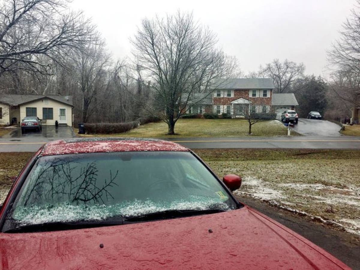
AUSTIN, TEXAS — Old Man Winter has overstayed his welcome. A freeze warning for the Austin area has been extended into Wednesday morning as temperatures fall to frigid levels on Tuesday night.
National Weather Service officials previously issued a freeze warning through late Tuesday morning, and corresponding forecasts called for warmer weather after that. To be sure, temps in the 40s throughout the day on Tuesday made for a welcome warming trend — hardly warm, but a welcome change to the 30s that have beset the Central Texas region the last couple of days.
But then, like a curmudgeonly uncle that just won't stop acting out at the dinner table, winter has reiterated its continuing presence. As a result, another freeze warning will be in effect from 11 p.m. Tuesday through 9 a.m. on Wednesday.
Find out what's happening in Austinfor free with the latest updates from Patch.
Overnight lows will drop below freezing again across much of south central Texas tonight, forecaster said. Residents can expect low temperatures between 25 and 32 degrees, with the coldest temperatures expected across the Hill Country, officials added.
Previous stories:
Find out what's happening in Austinfor free with the latest updates from Patch.
These frigid temperatures potentially could harm unprotected pets, plants and pipes — the three Ps of that cold-weather reminder of things we need to tend to with the onslaught of freezing weather.
National Weather Service forecasters focused on the susceptibility of plant life in their alert, suggesting at their confusion over the mercurial weather that makes them especially vulnerable: "With the warm temperatures of the last several weeks, some plants have already begun to bloom, so take action to protect plants and crops from the freezing temperatures."
Which is all well and good for plant life. Why, here at Patch Austin headquarters, plants have been taken inside since Monday night, and the heavier outdoor ones securely covered with a tarp. But this is an outrage, Old Man Winter! Please go away so we can go on with our normal routines!
Ready.gov outlines some safety tips to take — application of rock salt to improve traction, availability of dry, seasoned wood for the fireplace, clothing to wear to protect from the cold, etc.
If there's a silver lining in all of this, is that the forecast calls for warmer weather in the coming days — including temperatures in the 70s afoot! But then again, this freeze was supposed to have ended by Tuesday, so who's to say. Also, it looks like we'll be visited by drizzles if not freezing temperatures, so there's that pleasant development.
Ugh. Still, the NWS forecast (if it's to be believed) is as follows:
Wednesday: Mostly sunny, with a high near 54. North northeast wind 5 to 10 miles per hour becoming south.
Wednesday night: A chance of drizzle after midnight. Mostly cloudy, with a low around 46. South wind between 5 and 10 miles per hour.
Thursday: A chance of drizzle before noon. Mostly cloudy, with a high near 70. South southwest wind between 5 and 15 miles per hour, with gusts as high as 20 mph.
Thursday night: Mostly cloudy, with a low around 59. South southwest wind around 10 miles per hour.
Friday: Mostly cloudy, with a high near 74. South southwest wind around 10 miles per hour.
Friday night: A 50 percent chance of showers and thunderstorms. Cloudy, with a low around 63. South wind around 10 miles per hour.
Get more local news delivered straight to your inbox. Sign up for free Patch newsletters and alerts.