Weather
NoVa Winter Storm Update: 'Significant' Snow Risk
The sleet has already started, and this long-lasting storm will see that turn into snow eventually.

UPDATE 12:55 p.m.: The National Weather Service has issued a Winter Storm Warning that includes the D.C. area and Northern Virginia, and they are calling for big snowfall totals.
"Heavy snow expected. Total snow accumulations of 4 to 8 inches are expected," the warning states.
The warning lasts from 2 a.m. until 8 p.m. on Wednesday.
Find out what's happening in Ashburnfor free with the latest updates from Patch.
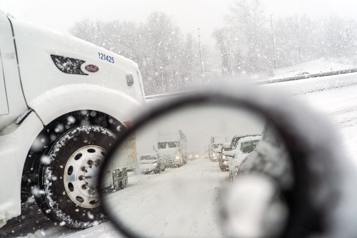
"A Winter Storm Warning for snow means severe winter weather conditions will make travel very hazardous or impossible," the warning adds. "If you must travel, keep an extra flashlight, food and water in your vehicle in case of an emergency. The latest road conditions for the state you are calling from can be obtained by calling 511."
Original story:
Find out what's happening in Ashburnfor free with the latest updates from Patch.
It looks like we're going to get some decent snow after all as a last gasp before spring here in Northern Virginia. And perhaps not once, but twice.
It will be a cold, wet, sleety, messy Tuesday before the precipitation transitions to snow in the wee hours of Wednesday and continues into that afternoon.
Snow accumulation -- up in the air less than 24 hours ago -- "is likely," says the Washington Post's Capital Weather Gang. And don't look now, but there may be another risk of wintry weather this weekend.
As far as how much snow we'll get Wednesday, that's still tough to call, but the forecast remains 1 to 3 inches for the general D.C. area, including Fairfax County and most of Prince William County in Virginia, and Prince George's County and most of Montgomery County in Maryland.
Meanwhile, most of Loudoun County in Virginia and the northern part of Montgomery County is in the 3-6 inches range. Areas south of D.C. are likely to get more of a dusting.
Highs will be in the 30s, so it should be cold enough for the snow to stick, at least for a little while.
Another storm system with snow potential could arrive on Saturday, and could drag into Sunday morning, CWG says. But we'll have to watch that as it develops.
For now, enjoy the Wednesday morning snow (or stay under the covers if you can't stand the white stuff).
If you're worried about having to drive in this weather, you can check state roads on the Virginia Department of Transportation website here. VDOT started staging plow trucks overnight on Monday.
"The National Weather Service has already issued a Winter Weather Advisory and Winter Storm Watch for the area," VDOT states. "Drivers should continue to monitor the weather and be prepared to stay off the roads if the timing and intensity of this storm impacts rush hours."
(Photo by Jessica Kourkounis/Getty Images)
Get more local news delivered straight to your inbox. Sign up for free Patch newsletters and alerts.