Weather
Virginia Weather: 'Unsettled' Conditions To Bring Rain, Snow
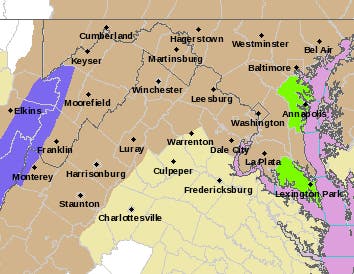
Advisories have been issued for NoVa and DC ahead of the powerful storm moving into the state with widespread rain and snow in the west.


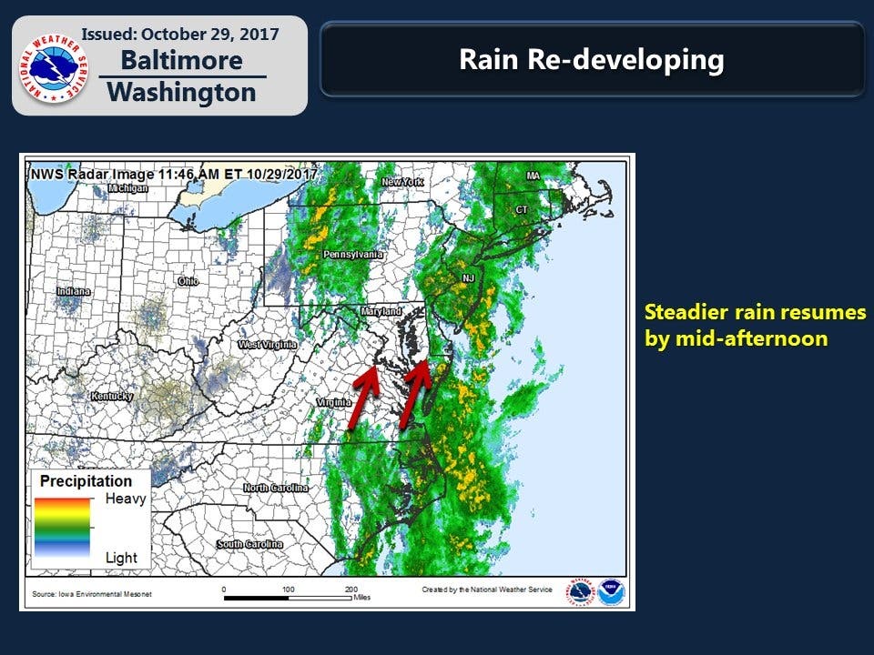
WASHINGTON, DC — "Unsettling" weather conditions will arrive Sunday in Virginia and Washington, D.C., and wind gusts in the state could exceed 50 mph at times, according to the National Weather Service. Heavy rain is also expected to move across the region with snow forecast for western parts of Virginia. Local forecasters say the storm system will rapidly intensify overnight.
Rain and flooding are also a concern, but the biggest concern is the damaging wind in the forecast. The National Weather Service says the worst of the weather should hit between 6 p.m. Sunday and 6 a.m. Monday. A wind advisory is posted for northern and western Virginia from 10 p.m. Sunday to 10 a.m. Monday, while a winter weather advisory is in effect for western Grant, western Pendleton and western Highland counties late this afternoon through tonight.
The National Weather Service is predicting winds of 20 to 35 mph with gusts around 50 to 55 mph. Strong winds may blow down limbs, trees, and power lines. Scattered power outages are expected. Winds this strong can make driving difficult, especially for high-profile vehicles.
Find out what's happening in Falls Churchfor free with the latest updates from Patch.
Look for an inch or two of rain across much of the state, while snow is likely Sunday night in the high elevations of western Pennsylvania, Western Maryland and West Virginia. The Capital Weather Gang says 6 inches of snow is possible in elevations above 3,000 and especially 4,000 feet in those regions.
Areas under the wind advisory include: the District of Columbia, plus Prince William, Manassas, Manassas Park, Fairfax, Arlington, Falls Church, Alexandria and Eastern Loudoun county.
Find out what's happening in Falls Churchfor free with the latest updates from Patch.
Cities in the advisory include Dale City, Manassas, Woodbridge, Lake Ridge, Montclair, Reston, Herndon, Annandale, Centreville, Chantilly, McLean, Franconia, Arlington, Alexandria, Leesburg, Ashburn, and Sterling.
Here is the detailed forecast of the powerful storm for Northern Virginia:
Today: Showers before 2pm, then rain after 2pm. High near 66. Northwest wind 11 to 13 mph, with gusts as high as 23 mph. Chance of precipitation is 80%. New precipitation amounts between a quarter and half of an inch possible.
Sunday night: Rain before 2am, then showers, mainly between 2am and 5am. Low around 40. Breezy, with a northwest wind 21 to 25 mph, with gusts as high as 46 mph. Chance of precipitation is 100%. New precipitation amounts between a half and three quarters of an inch possible.
Monday: Mostly cloudy, then gradually becoming sunny, with a high near 59. Breezy, with a west wind 16 to 20 mph, with gusts as high as 36 mph.
Monday night: Partly cloudy, with a low around 38. Southwest wind 7 to 10 mph.
SEE ALSO:
- Don't Give Out This Candy — Virginians Hate It
- Where Are The Best Mexican Restaurants In Virginia, DC?
- Ditching Family For Thanksgiving? Try Richmond, Colonial Williamsburg
Graphics via the National Weather Service, photo via Shutterstock
Get more local news delivered straight to your inbox. Sign up for free Patch newsletters and alerts.