Community Corner
River Road, City Dock to Bear Brunt of Flood
Water levels in Fredericksburg are expected to crest around 1 p.m., flooding lowland areas of the region.




The past few days of rainy weather have drenched and shaken the region with persistent precipitation and the odd string of violent thunderstorms. The National Weather Service has extended its Flood Warning, predicting floodwaters will crest in Fredericksburg around 1 p.m. today at 18.8 feet, just almost a foot above flood stage at city dock.
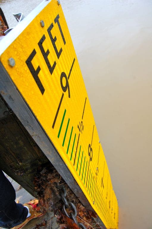
Overnight, areas upstream of Fredericksburg were experiencing moderate flooding. As of 12:15 a.m., the Rappahannock had risen to 15 feet in Remington, with a 17.8 foot crest predicted for 7 a.m. The river gauge west of Fredericksburg at the confluence of Gollin Run showed the river to be at 9.6 feet at midnight. The gauge at the City Dock reports less often. As of midnight, the most recent recorded depth there was 6 feet as of 8 p.m. on Thursday.
In the grand scheme of things, today's flooding will be relatively minor, at least in the city. Motorists looking to use Fall Hill Ave to get between Jefferson Davis Highway and Plank Road may find themselves out of luck in the early afternoon, and the City Dock will most likely be absolutely inundated. River Road will most likely be impassable as well for much of the day.
Find out what's happening in Fredericksburgfor free with the latest updates from Patch.
Flooding in Fredericksburg is a fairly methodical beast. Check out this table from the National Weather Service Advanced Hydrologic Prediction Service which illustrates how rising waters could impact Fredericksburg. The column on the left shows water levels. The column on the right describes the impacts.
53 ft water inundates 70 city blocks. 42.5 ft water inundates 25 city blocks. Roughly equivalent to the flood of 1942. 42 ft water inundates Caroline and LaFayette Streets and Caroline and Williams Streets. 39 ft water begins to inundate Hanover and Caroline Streets. Roughly equivalent to the floods of 1937, and 1972 38 ft water inundates Charlotte and Caroline Streets. 31 ft the lower edge of the city of Fredericksburg becomes inundated. Flood of 1889 reached 32 feet. 22 ft water submerges Scott's Island. 12 ft water begins to inundate portions of River Road. This past Monday, floodwaters reached 13.1 feet. 6.5 ft the river is approaching the City Dock sidewalk. 2 ft the river is at hazardous levels for recreational use.Find out what's happening in Fredericksburgfor free with the latest updates from Patch.
Get more local news delivered straight to your inbox. Sign up for free Patch newsletters and alerts.