Weather
Hurricane Isaias Makes Landfall As Category 2 Storm: The Latest In AL
Hurricane Isaias made landfall Friday evening on the Gulf Coast, with impacts expected in Alabama.


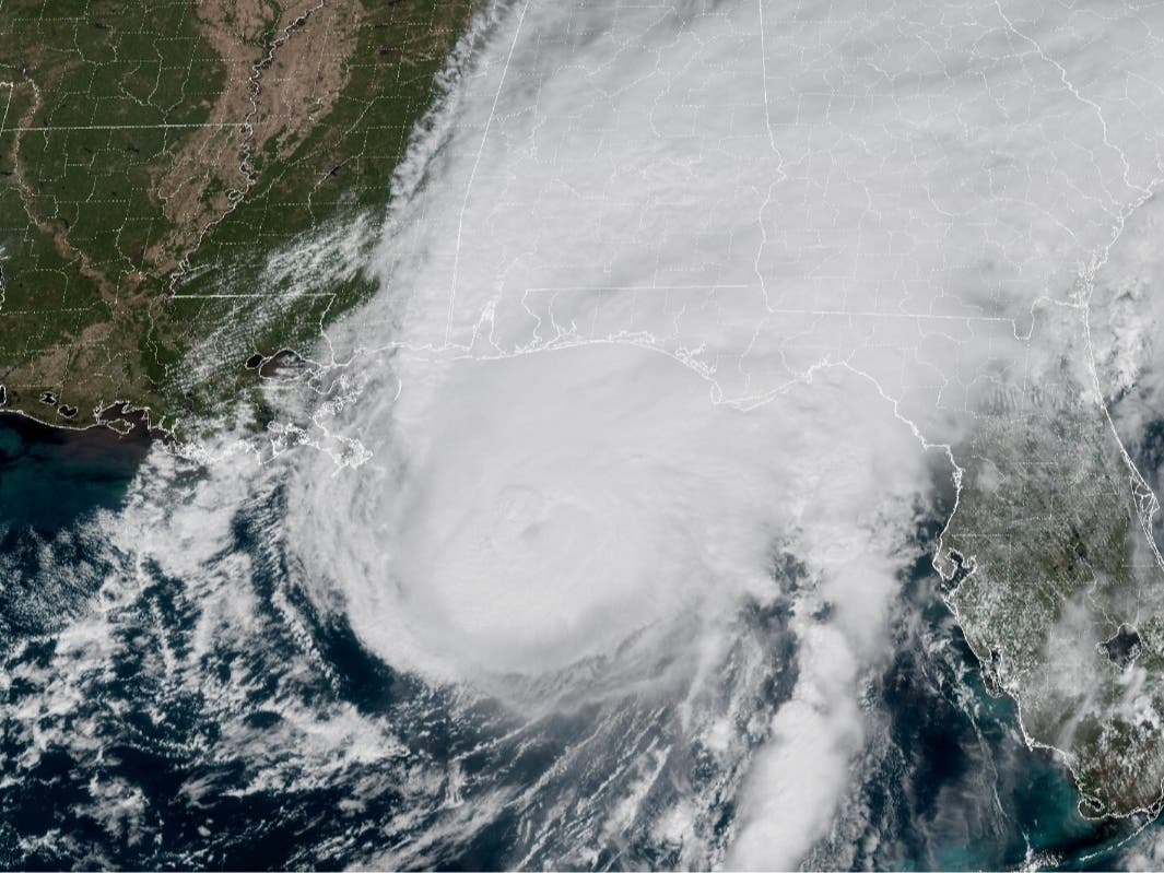
TUSCALOOSA, AL — Hurricane Isaias made landfall Friday evening on the Gulf Coast with sustained winds of 105 mph, bringing the threat of damaging winds, flash flooding and tornadoes to Alabama overnight.
Click here to subscribe to our free daily newsletter and breaking news alerts.
The National Hurricane Center confirmed Isaias made landfall near Destin, Florida, at approximately 8:30 p.m. CT, packing maximum sustained winds of 105 mph and a minimum central pressure of 971 millibars.
Find out what's happening in Tuscaloosafor free with the latest updates from Patch.
The storm came ashore after strengthening into a major Category 3 hurricane earlier Friday, with sustained winds reaching 120 mph before weakening somewhat as it approached the coast.
Isaias became the first hurricane of the 2026 Atlantic hurricane season, intensifying rapidly over the Gulf of Mexico before taking aim at the northern Gulf Coast.
Find out what's happening in Tuscaloosafor free with the latest updates from Patch.
For Alabama, the hurricane's arrival raises concerns about widespread power outages, damaging winds, heavy rainfall and isolated tornadoes as the storm moves inland Friday night and Saturday.
As of the publication of this story, the latest estimates show 172,667 customers without power in Alabama, with the majority being in Baldwin (45,396) and Mobile (36,448) counties.
No storm-related outages have been reported in Tuscaloosa as of 9 p.m.
Flood watches have also been issued across much of Alabama, with forecasters warning that heavy rainfall could cause flash flooding and make some roads impassable.
Ivey Declares State Of Emergency
As Patch previously reported, Alabama Gov. Kay Ivey declared a state of emergency Wednesday for 40 Alabama counties ahead of Isaias, allowing state and local agencies to mobilize resources and coordinate emergency response efforts.
The declaration includes Tuscaloosa, Hale, Greene, Pickens, Perry and Marengo counties in west Alabama, along with much of central and southern Alabama.
The emergency declaration took effect at 4 p.m. Wednesday and is scheduled to remain in effect through Oct. 14 unless amended.
Ivey urged Alabamians to take the threat seriously and prepare for hazardous conditions as the storm approached.
The Alabama Law Enforcement Agency also urged motorists to avoid flooded roads, watch for downed trees and power lines and remain aware of changing weather conditions.
What To Expect In Tuscaloosa And Central Alabama
For Tuscaloosa and surrounding communities, heavy rainfall and strong winds remain among the primary concerns as Isaias moves inland.
As Patch previously reported, the National Weather Service in Birmingham warned that portions of central Alabama could receive 2 to 4 inches of rainfall, with isolated totals reaching 5 inches.
Heavy rainfall could cause flash flooding, particularly in low-lying areas, along smaller streams and in locations with poor drainage.
Forecasters also warned that strong wind gusts could bring down trees and power lines, potentially causing widespread electricity outages.
Additionally, the storm's outer rainbands could produce isolated tornadoes, particularly in areas east of the hurricane's center.
Although Isaias is expected to weaken as it moves farther inland, officials cautioned that dangerous weather conditions could continue across Alabama through Saturday.
Hurricane Forces Major Changes In Tuscaloosa
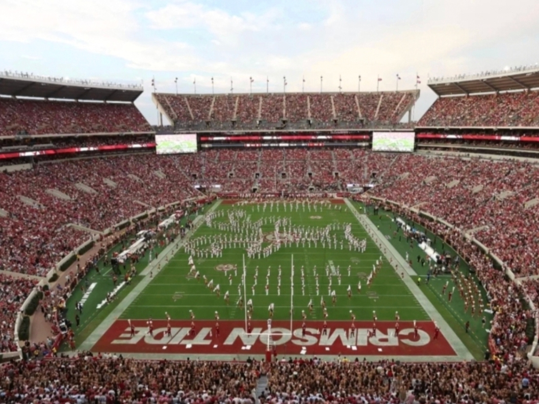
The hurricane's arrival also comes ahead of Saturday's highly anticipated college football matchup between No. 6 Alabama and No. 2 Georgia at Bryant-Denny Stadium.
As Patch reported Friday, the University of Alabama announced significant changes to its game-day operations because of the threat of severe weather.
Tailgating will not be permitted on campus before noon Saturday, while only uncovered tailgating will be allowed afterward, weather permitting.
The university also prohibited Friday tailgate setups and announced that corporate tailgating vendors would not set up on the Quad.
Meanwhile, ESPN moved its popular College GameDay broadcast indoors to Coleman Coliseum because of the anticipated severe weather.
Patch also reported Friday afternoon that President Donald Trump would no longer attend the game because of the hurricane.
Despite the changes, Saturday's game remains scheduled for a 6:30 p.m. CT kickoff, with Alabama Athletics continuing to monitor weather conditions.
Elsewhere in Tuscaloosa, the city canceled its weekly farmers market scheduled for Saturday at the Tuscaloosa River Market because of concerns about high winds and heavy rainfall.
The market is expected to resume its regular schedule Saturday, Oct. 17.
What Comes Next For Alabama?
Although Isaias weakened to a Category 2 hurricane before making landfall, forecasters warned that the storm could still produce significant impacts well inland.
The hurricane's center is expected to track northward through Alabama before eventually turning northeast toward the Tennessee Valley.
For communities across west and central Alabama, the most immediate concerns remain damaging winds, flash flooding, downed trees and power lines and the possibility of isolated tornadoes.
Residents are urged to have multiple ways to receive weather alerts, identify a sturdy shelter location and stay updated on changing conditions.
As Patch previously reported, the Tuscaloosa County EMA recently rolled out a new emergency notification system to send updates on severe weather directly to your phone, email or mobile device.
Click here for a map of other storm shelters across the Tuscaloosa metro.
This is a developing story. Patch will have more information as it becomes available.
Get more local news delivered straight to your inbox. Sign up for free Patch newsletters and alerts.