Community Corner
Evacuations Downgraded Near Elsinore, Holy Fire Burn Scar: UPDATE
A storm system is expected to douse the region on Monday.


UPDATE 9:30 P.M. — Residents living in the zones affected by earlier evacuation orders are no longer under mandatory orders to get out. As of 9:30 p.m., the existing evacuation order has been downgraded to a "Voluntary Evacuation Warning," according to the Riverside County Emergency Management Department.
"People in these zones SHOULD GO NOW," officials said. "Rainstorms carry the potential for dangerous debris flows that can send mud, boulders and trees crashing down hillsides."
The third storm system of the winter season produced moderate rainfall Monday in Riverside County, contributing to car wrecks and road closures but no major weather-related hazards in areas under affected by evacuation orders at the foot of the Cleveland National Forest.
Find out what's happening in Lake Elsinore-Wildomarfor free with the latest updates from Patch.
Anza received the greatest precipitation during daylight hours in Riverside County, recording 1.21 inches, the weather service said. Rain amounts generally ranged between a half and two-thirds of an inch in the Temecula Valley, while the Riverside metropolitan area was well under a quarter inch, according to rain gauges monitored by government agencies.
Numerous car accidents were reported on Interstates 15 and 215, as well as in Corona, Moreno Valley, Murrieta and Riverside. The county Department of Transportation closed segments of Temescal Valley Road in Glen Ivy due to flooding.
Find out what's happening in Lake Elsinore-Wildomarfor free with the latest updates from Patch.
PREVIOUS STORY BELOW
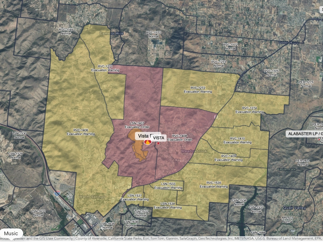
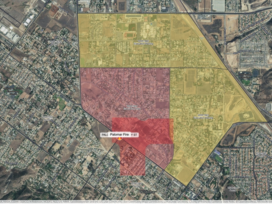
LAKE ELSINORE, CA — With thunderstorms forecast for the region this week, officials with the Riverside County Emergency Management Department have ordered mandatory evacuations in several areas near Lake Elsinore that were affected by the Holy Fire last summer.
As of Monday, Jan. 14, the following zones are under a mandatory evacuation order:
- Amorose
- Alberhill
- Glen Ivy A
- Glen Ivy B
- Glen Eden
- Grace
- Horsethief A
- Laguna A
- Maitri
- McVicker A
- Rice
- Withrow A
A care and reception center is open at Temescal Canyon High School, located at 28755 El Toro Rd. in Lake Elsinore. Small animals are being accepted at the San Jacinto Animal Campus at 581 South Grand Ave. in San Jacinto.
Those who have large animals were instructed to contact Riverside County Animal Services.
Evacuees with recreational vehicles or motor homes were being provided free hookups at Lake Skinner Recreation Area at 37701 Warren Rd. in Winchester and Rancho Jurupa Regional Park at 4800 Crestmore Rd. in Jurupa Valley.
There are no evacuations at this time for those living near the Cranston Fire burn scar, in the Idyllwild area.
The third storm system of the year is expected to dump heavy rainfall and snow in the Inland Empire and officials say there is the potential for dangerous mud slides and debris flows.
The inclement weather also prompted the National Weather Service to issue a flash flood warning for the Riverside County Mountains, valleys and the San Gorgonio Pass near Banning from Monday afternoon through Monday evening. The Coachella Valley is forecast to get up to three-tenths of an inch of rain Monday, but no flash flooding is expected, according to the NWS.
Up to eight-tenths of an inch of rain are expected in the Riverside metropolitan area and Lake Elsinore while the San Gorgonio Pass near Banning could see up to 1 inch of rain, forecasters said.
Snow levels will drop to around 5,000 feet, with areas above 7,000 feet expected to see up to a foot of snow, meteorologists said.
The NWS to issued a winter storm warning for the county mountains, including the Idyllwild and Pine Cove area, effective from noon Monday to 10 a.m. Tuesday.
The heaviest rainfall is expected to hit the region Monday afternoon, with rainfall rates exceeding a half-inch per hour possible primarily in areas near the coast, meteorologists said.
A wide area skirting the eastern boundary of the Cleveland National Forest was left exposed to potential flood and mud damage because of the 23,000- acre Holy Fire in August. The blaze, allegedly the work of an arsonist, denuded steep terrain below Santiago Peak, permitting water to flow unchecked onto lower slopes where subdivisions are situated.
Rains on Dec. 6 resulted in significant flooding and mud flows into several neighborhoods, prompting street closures and evacuations. However, there was no major damage to homes.
— City News Service contributed to this report / Image via Shutterstock
Get more local news delivered straight to your inbox. Sign up for free Patch newsletters and alerts.