Crime & Safety
CA Fires: 671,000 Acres Burned, Thousands Forced To Flee Homes
Here are the latest stats and a map of more than a dozen large wildfires burning across California.


Though it's only the beginning of August, California's "fire season" appears to be in full swing. Officials with the California Department of Forestry and Fire Protection say there were more than 13,500 firefighters on the front lines of more than a dozen large wildfires burning across the state as of Friday.
Combined, the 13 largest fires have burned more than 671,000 acres and forced thousands of residents from their homes, Cal Fire said. At least 1,100 homes have been destroyed.
In the north, the Mendocino Complex has burned 307,447 acres alone and is now the largest wildfire in California history. In the south, the Holy Fire grew by 8,000 acres overnight alone, according to officials. The evacuation area for that blaze "covers 7,449 single family homes and numerous commercial structures with estimated evacuees totaling 21,484 people," according to the U.S. Forest Service.
Find out what's happening in Lake Elsinore-Wildomarfor free with the latest updates from Patch.
"A Red Flag Warning remains in effect in many parts of Northern California, including portions of the Carr Fire, Mendocino Complex and Hat Fire, through Saturday night," Cal Fire said of the weather conditions firefighters expect to face. "Above normal temperatures continue across most of the state, accompanied by low humidity and windy conditions, particularly in the Red Flag Warning areas. A cooling trend is expected for the weekend in Southern California."
Below, you'll find a map of the current fires burning in California and more information courtesy of Cal Fire on each:
Find out what's happening in Lake Elsinore-Wildomarfor free with the latest updates from Patch.
Mendocino Complex, Mendocino/Lake County (more info...)
• 307,447 total acres, 60% contained
• 119 residences destroyed, 12 residences damaged
• 2,000 residents under evacuation orders
• The Mendocino Complex fire is the largest wildfire in state history
• CAL FIRE Incident Management Team 2 (Kavanaugh) in unified command with NORCAL IMT-1 (McGowan)
River Fire (more info…)
Hopland
• 48,920 acres, 90% contained
Ranch Fire (more info…)
Ukiah
• 258,527 acres, 53% contained
• Evacuations and road closures in place
Holy Fire, Orange County (more info…)
Holy Jim Canyon, Cleveland National Forest
• 18,137 acres, 5% contained
• Structures threatened
• Hwy 74 closed in both directions
• CA Fed IMT-SoCal 1 (Fogle) in unified command CAL FIRE, USFS, Riverside County Fire and Orange County Fire Authority
SEE ALSO:
- 51 Images That Show The Magnitude Of The Holy Fire
- Holy Fire: 'We're Doing Our Best To Stop This Thing'
- RivCo Warns Of Dangers Of Cleaning Up 'Toxic' Ash From Holy Fire
- 26 (More) Incredible Images Of The Holy Fire
- Mendocino-Complex Fire In Photos: California's Largest Fire Ever
Hat Fire, Shasta County (more info…) **NEW**
• NE of Burney
• 2,500 acres, 0% contained
• Road closures and evacuations in effect
Carr Fire, Shasta County (more info…)
Whiskeytown & Redding
• 181,496 acres, 51% contained
• Evacuations and road closures in place
• 70 residents evacuated
• 1,077 residences destroyed, 191 residences damaged
• CAL FIRE Incident Management Team 1 (Gouvea) in unified command withCity of Redding FD (Kreider) USFS (Pechota)
Hirz Fire, Plumas County (more info…) **NEW**
East of Lakehead
• 450 acres, 10% contained
Murphy Fire, Plumas County
Belden
• 117 acres, 30% contained
Ferguson Fire, Mariposa County (more info…)
Yosemite National Park
• 95,544 acres, 80% contained
• Evacuations and road closures remain in effect
• CA Fed IMT-3 (von Tillow) in command
Donnell Fire, Tuolumne County (more info…)
Near Hwy 108, Donnell Lake area
• 23,824 acres, 5% contained
Cranston Fire, Riverside County (more info…)
Hemet
• 13,139 acres, 100% contained
Georges Fire, Inyo County (more info…)
Lone Pine
• 2,883 acres, 70% contained
Valley Fire, San Bernardino County (more info…)
Yucaipa
• 1,350 acres, 56% contained
Natchez Fire, Del Norte County (more info…)
Southeast of Cave Junction, OR
• 11,338 acres, 50% contained
Bridge Fire, Marin County (more info...)
Olema
• 45 acres, 100% contained
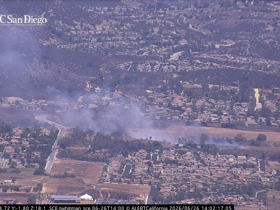
Main image courtesy Joe Fanaselle
Get more local news delivered straight to your inbox. Sign up for free Patch newsletters and alerts.