Weather
Strongest Storm To Hit Malibu Today: Closures, Rock Slide & More
Here are the latest weather advisories and road and school closures in Malibu.

MALIBU, CA – City officials said the storm is expected to be strongest in Malibu from 5 a.m. to 1 p.m. Thursday morning, although it has already forced road closures, evacuations and school closures in the district, and prompted a rock slide that injured one person.
The Santa Monica-Malibu Unified School District canceled classes for Malibu schools for another day, as evacuations in Woolsey Fire burn areas are still in effect.
A rock slide on Malibu Canyon Road injured one person and prompted the closure of the road between Pepperdine University and Piuma Road Wednesday evening, the Los Angeles County Fire Department reported. Los Angeles County Public Works is working to clear the roadway of large rocks and debris Thursday morning that fell from the hillside. Only Malibu Knolls residents with identification are being allowed through the road closure at Malibu Canyon Road and Civic Center Way, and drivers should consider taking alternative routes.
Find out what's happening in Malibufor free with the latest updates from Patch.
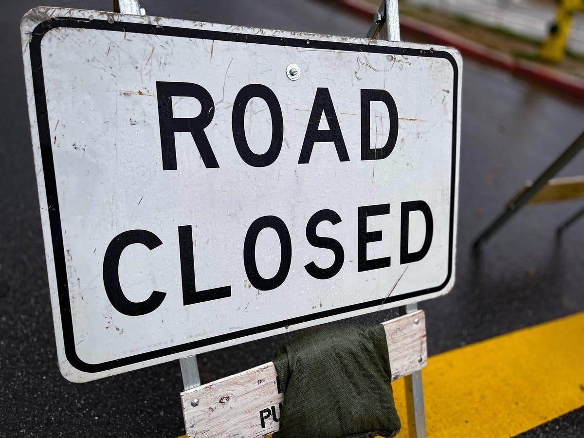
Road Closures
- Malibu Canyon Road remains closed between Civic Center Way and Piuma Road following rock slides Wednesday evening. Crews will be conducting risk assessments for more slides as visibility conditions improve. Malibu Knolls residents may pass through the Civic Center road closure with identification.
- A rock slide prompted the closure of Topanga Canyon Boulevard between Pacific Coast Highway and Grand View Drive, according to the Los Angeles County Sheriff's Department. There is no estimated time for reopening the road.
- Decker Canyon was closed preemptively before the storm and will remain closed throughout the storm's duration.
Animal Evacuations
Find out what's happening in Malibufor free with the latest updates from Patch.
Small animals may be taken to the Agoura Animal Care Center located at 29525 Agoura Road. The Red Cross Shelter at Santa Monica High school will accept small animals in crates or cages. Large animals may go to Pierce College located at 6201 Winnetka Ave or Hansen Dam located at 11127 Orcas Ave. For more information, call Animal Control at 661-257-3191 or the City of Malibu at 310-456-2489.
Stronger Storm
The last and strongest of three storms to hit Southern California this week slid into the region Thursday, generating periods of heavy rain, which could trigger street flooding and shallow mud and debris flows in several areas previously denuded by wildfires, National Weather Service forecasters said.
The rain could unleash mudslides and debris flows "in and near recent burn scars across Los Angeles, Ventura, and Santa Barbara Counties. These include the Hill, Sherpa, South, Stone, Thomas, Whittier and Woolsey burn scars," according to an NWS statement.
The weather service at 5:40 a.m issued a flood advisory for most of L.A. County and said it would expire at 8:30 a.m. This was in response to Doppler radar and rain gauge indications that widespread moderate rain was falling, "with numerous embedded heavy showers."
Rainfall rates were highly variable but generally averaged .15 to .30 inches per hour, with up to .50 inch per hour in some areas.
"The rain will cause widespread ponding of water on area roadways through the morning commute with flooding of low-lying areas," warned an NWS statement.
Flash Flood Watch
A flash flood watch will also be in force until 1 p.m. along the coast, including the Santa Monica Mountains Recreational Area, the San Gabriel Mountains, the San Fernando and Woolsey burn scar areas in Los Angeles County, the NWS said. Forecasters say they expect peak rainfall rates of between a half- inch and three quarters of an inch of rain per hour in the watch zone.
"Rainfall of this intensity can produce shallow mud and debris flows in and near recent burn areas. In addition, localized flooding is possible across other parts of Los Angeles and Ventura Counties, along with rock slides and mudslides that could produce road closures," according to the NWS statement.
"A flash flood watch means that conditions may develop that lead to flash flooding. Flash flooding is a very dangerous situation," said the NWS, adding that Southern California residents in or below the recently burned areas are urged to take the steps necessary to protect their property. Persons in the watch area should remain alert and follow directions of emergency preparedness officials.
High Surf
Along the coast, an extended period of high surf is expected through Friday, the NWS said. A high surf advisory will be in effect in L.A. County until 2 p.m. Thursday, followed by a less serious high surf warning from 2 p.m. Thursday until 9 p.m. Friday.
Breaking waves of 5-8 feet will pound the shore through Thursday morning, then increase to 6-10 feet, then 10-15 feet Friday morning, according to an NWS statement.
"Minor coastal flooding is possible Thursday, with moderate coastal flooding and significant beach erosion likely on Friday, it said.
Amid the high surf, " there is an increased risk for ocean drowning. Rip currents can pull swimmers and surfers out to sea. Large breaking waves can cause injury, wash people off beaches and rocks and capsize small boats near shore," warned an NWS statement. Moderate coastal flooding is possible over low-lying coastal areas including beaches, beach parking lots and harbor walkways, and with vulnerable coastal roadways during the highest surf and tides.
Off the coast, a gale warning expired at 3 a.m. Thursday, and a small craft advisory will follow suit at 9 a.m.
THIS IS AN ONGOING STORY; REFRESH THE PAGE FOR THE LATEST UPDATES
City News Service contributed to this post; Image via Shutterstock
Get more local news delivered straight to your inbox. Sign up for free Patch newsletters and alerts.