Weather
Flood Warning For Napa River Continues: National Weather Service
A National Weather Service flood warning remains in effect for the Napa River near the city of Napa.


NAPA COUNTY, CA — The National Weather Service in an 11:33 a.m. update Thursday extended a flood warning for the Napa River near the city of Napa but canceled an upvalley flood warning for the Napa River near St. Helena.
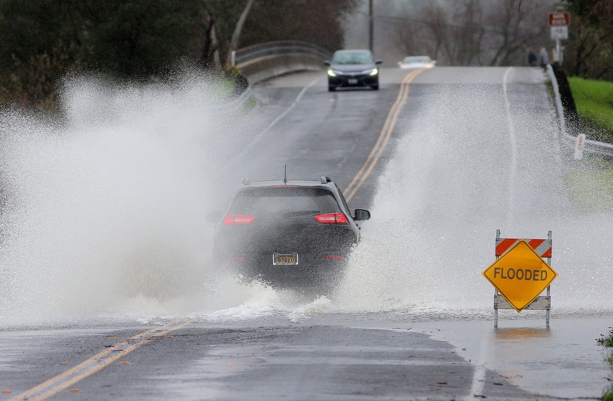
Minor flooding of the river is forecast in the city of Napa area, according to the NWS San Francisco Bay Area office. The flood warning remains in effect through late Thursday night.
NWS officials said the river was at 23.3 feet at 11 a.m. Thursday and was "forecast to rise above flood stage ... to near 25.1 feet by 1 p.m."
Find out what's happening in Napa Valleyfor free with the latest updates from Patch.
The city of Napa closed the Oxbow Bypass flood gates at 5 p.m. Wednesday "in anticipation of the Napa River peaking over 25’ at around noon today, which it did," city spokeswoman Jaina French said in an email to Patch.
"Good news is the bypass did exactly what it was designed to do when flood waters entered the bypass," French said. "All pedestrian access points in the Oxbow Commons were closed to the public in anticipation of this as well."
Find out what's happening in Napa Valleyfor free with the latest updates from Patch.
Here is the full flood warning statement from the NWS:
Flood Warning extended until late tonight...The Flood Warning continues for The Napa River near Napa
* From near this noon until late tonight
* At 11 a.m. Thursday the stage was 23.3 feet
* Minor flooding is forecast
* Flood stage is 25.0 feet
* Forecast to rise above flood stage by near this noon and continue to rise to near 25.1 feet by 1PM.
* At 26.0 feet...Moderate flooding. In the City of Napa, flow begins to leave the Napa River channel in the South Coombs area (north of Imola Avenue) and the south oxbow (near Taylor Street). Crop losses and erosion damage become serious. Moderate flood damage in lower parts of urban areas along the reach. Transportation in the Napa Valley becoming difficult. The flood of 2/3/1998 measured 26.72 feet.
* At 25.0 feet...Flood Stage. Flooding of lowest parts of towns in reach begins. Inundation of lowest agricultural land in Napa Valley. Some secondary roads are inundated. Moderate damage from
bank erosion and sediment deposition throughout the reach.
* At 24.0 feet...In the City of Napa, flow begins to leave the Napa River channel at Riverpointe (north of Lincoln Avenue).
* At 22.0 feet...Monitor Stage. In the City of Napa, the Napa River Dry Bypass is fully inundated and flow begins to cross McKinstry Street.
* At 20.0 feet...Erosion of lowest agricultural areas along river begins.
"Rain will continue this afternoon and will turn to showers this evening," NWS forecasters said. "... Showers will continue tonight into Friday."
Officials with the city and county of Napa have been closely monitoring river conditions.
City of Napa officials advised residents in the area of Valencia Street, which is prone to flooding, to be prepared.
"Consider moving vehicles to higher ground, and make any preparations around your home for potential ponding water or flooding," city officials said in a news release. "Sandbags are available at Memorial Stadium at 1340 Menlo Ave."
As of Thursday morning, city officials also said several city parks and public access areas were closed because of the weather and potential flooding, and may remain closed through the weekend.
Closures include:
- Trancas Crossing
- Oxbow Preserve
- Oxbow Commons -- pedestrian access points currently closed are Kennedy Park Duck pond/lower road to College fields (so far)
- Main Street Boat Dock
- Stanly Lane Trail
- Garfield Park -pedestrian bridge over Salvador creek.
- River Trail - Trancas to Lincoln
- Hennessey Boat Launch
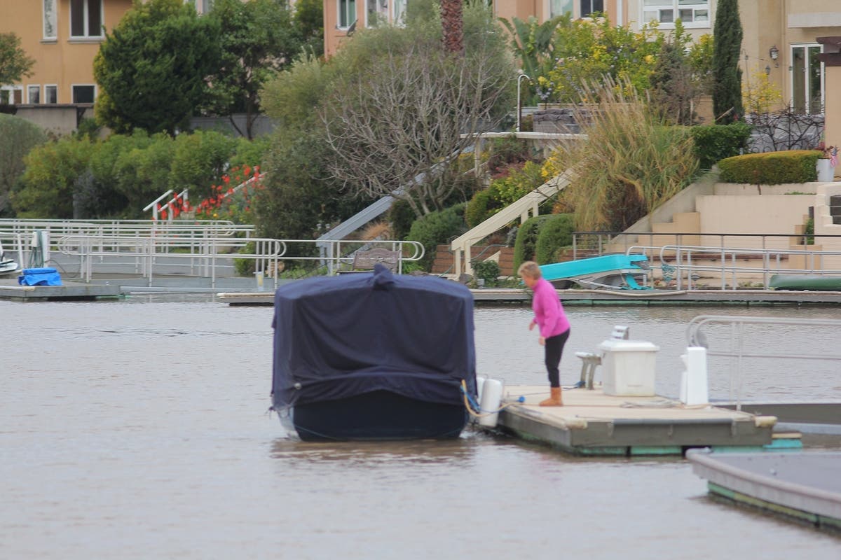
French said the boat dock at Lake Hennessey is closed to the public because of the high waters.
"City crews are out monitoring parks and trails, and we will keep you updated here if there are additional closures," city officials said in a news release. "After the storm, staff will evaluate areas for debris and public safety prior to re-opening areas. As a result, some areas may remain closed or blocked off through the weekend."
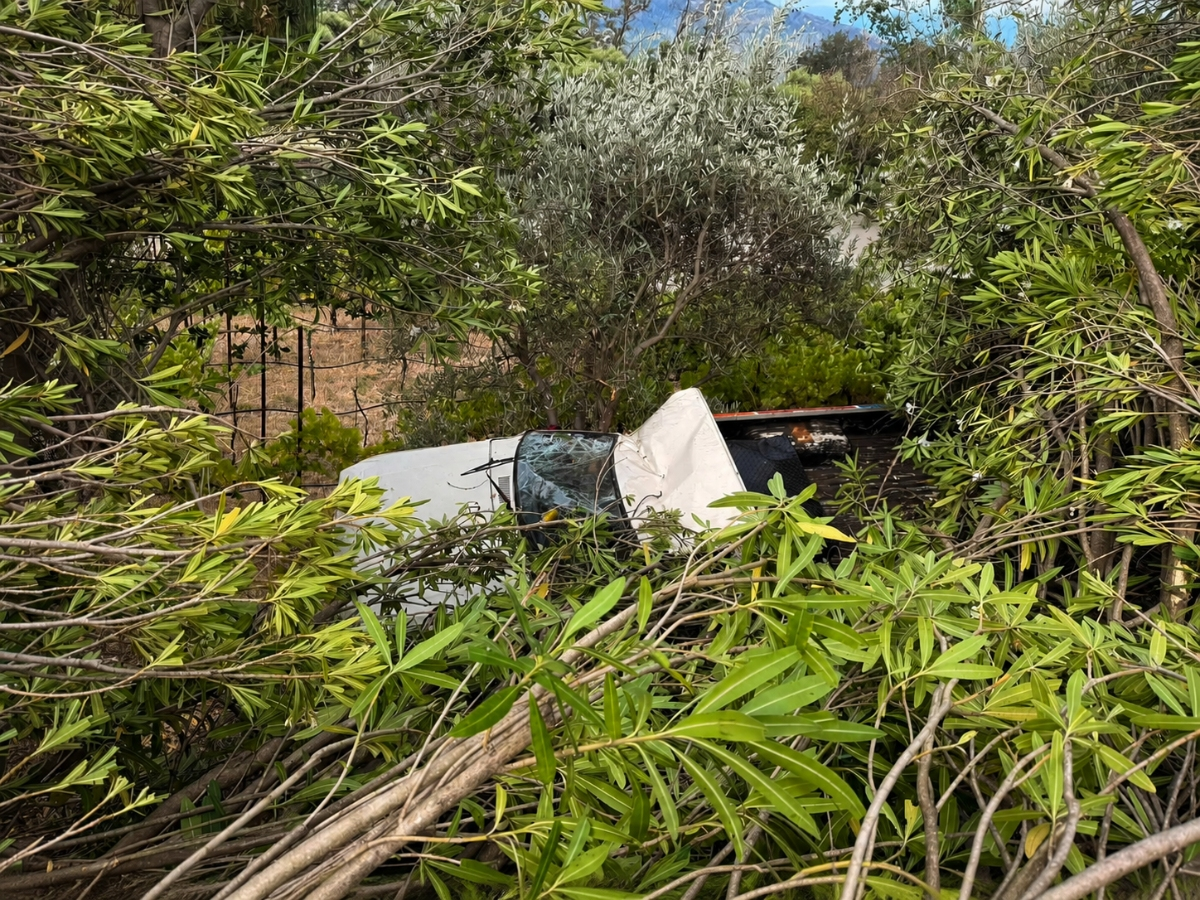
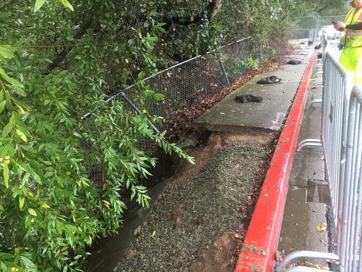
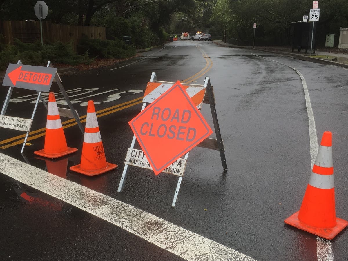
Thursday morning, eastbound Browns Valley Road was closed at Partrick Road by city of Napa officials because of continued erosion of a creek adjacent to the roadway.
Portions of the sidewalk have collapsed into the creek, according to reports from the scene.
The closure is expected to be long term but was not affecting westbound traffic.
The closed lane is to provide a safe walking zone, with barriers and fencing installed Thursday morning by city crews, according to reports from the scene.
Another closure Thursday was Yountville Cross Road. The Napa County Office of Emergency Services advised the roadway is closed from the Napa River to State Lane and said motorists should avoid the area by using alternates routes.
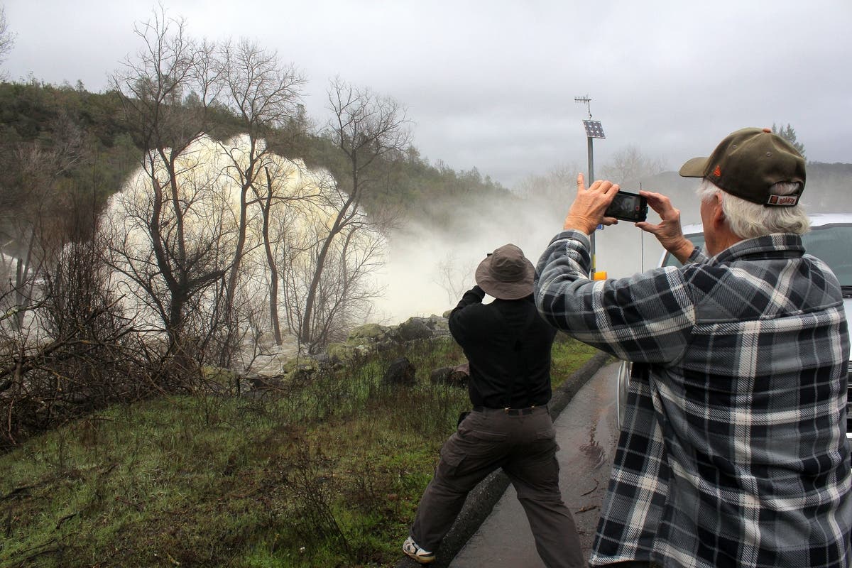
A rockslide Thursday closed resulted in the closure of Highway 128 from Markey Cove Resort to Winters, Napa County OES said in an alert at 2:30 p.m.

-1550175436-9985.jpg)
-1550176363-1139.jpg)
-1550176488-1043.jpg)
ALSO SEE:
- Mudslide Destroy 2 Homes, Injures 1 Person In Sausalito
- Some Schools, Roads Closed In Sonoma County As Storm Floods Area
Top photo 1: The Napa River is pictured Thursday morning, Feb. 14, 2019 in downtown Napa.
Top photo 2: The Napa River at edge of river bank in River Park area of south Napa, Thursday morning, Feb. 14, 2019.
Top photo 3: Rainbow after the overnight storm along Silverado Trail near Hardman Avenue in Napa Thursday morning, Feb. 14, 2019.
Photos by Al Francis/Napasonomaphotos.com
Get more local news delivered straight to your inbox. Sign up for free Patch newsletters and alerts.