Weather
Triple-Digit Heat, Fire And Flooding Threats Slam Bay Area All At Once
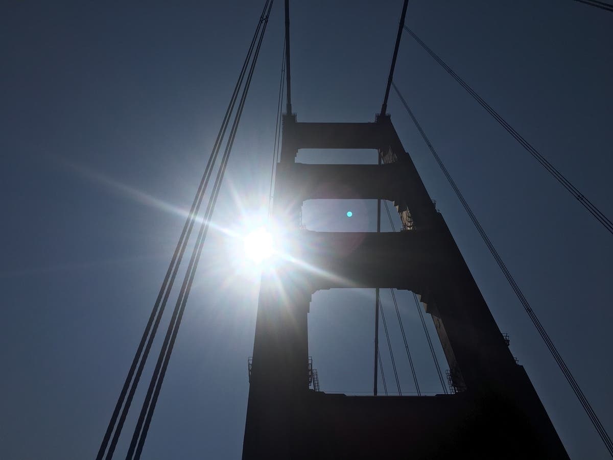
Temperatures could hit 105 degrees as forecasters warn of high winds, coastal flooding and sneaker waves.

BAY AREA — The National Weather Service has issued a number of warnings for the Bay Area as hot weather, high winds and powerful surf slam the region.
Forecasters have issued a Heat Advisory from noon to 11 p.m. Thursday for the East Bay, North Bay, South Bay, and bay shoreline. Temperatures are expected to soar into the triple digits across the North, South, and East bays. Places like Concord and Livermore can expect highs of 105 on Thursday. San Jose is expected to rise up to 93 degrees, while downtown San Francisco is expected to rise to 78 degrees. Oakland is expected to see a high of 84 degrees, while even normally cool areas along the coast could see temperatures as high as 85 degrees, the weather service warned.
These temperatures are roughly 20 degrees above normal highs for this time of year, NWS meteorologist Lamont Bain told KQED.
Find out what's happening in San Franciscofor free with the latest updates from Patch.
Wind gusts are also expected to reach up to 45 mph in mountainous areas, while gusts of 60 mph or higher are possible at the highest elevations. This has resulted in a Red Flag Warning for the North Bay mountains and East Bay Hills, which is in effect from Wednesday at 11 a.m. through 9 a.m. Thursday. PG&E said that it could initiate Public Safety Shutoffs to avoid fires Wednesday or Thursday. None have been reported Wednesday as of 3 p.m.
The high winds have also resulted in a coastal flood advisory and beach hazards statement. The flood advisory is in effect from 6 p.m. Wednesday through 1 a.m. Saturday in the North Bay, and 7 p.m. Thursday through 1 p.m. Saturday along the San Francisco Bay. The NWS predicts up to 1.5 feet of flooding above ground in low-lying areas near shorelines and tidal waterways due to high tides.
Find out what's happening in San Franciscofor free with the latest updates from Patch.
The Beach Hazards Statement, in effect along the coast from Sonoma through Santa Cruz counties until 5 a.m. Thursday, warns of an increased risk of sneaker waves and strong rip currents.
SEE ALSO: Girl Still Missing After Wave Sweeps Her Family Out To Sea In Laguna Beach
More California News:
- Girl Still Missing After Wave Sweeps Her Family Out To Sea In Laguna Beach
- FBI Reveals Reason Behind Overnight Military Exercises That Alarmed SoCal Residents: Report
- Porn Images Found In City Recreation Guides, 'Rogue Actor' Suspected: Report
- Bear Joins Yosemite Elopement Photo Shoot, RivCo Photographer Shares The Story
- CA Mom Arrested For Leaving Baby In Car: Police
- SoCal HS Graduate Named Commander Of NASA's Next Artemis Mission
- CA Hiker Survives Grizzly Bear Attack At Glacier National Park
- 'A Leader In His Community': Bay Area Teen Killed In I-80 Crash Had Just Graduated High School
- FBI Raids Embattled Contra Costa Assessor Gus Kramer's Offices, Homes: Report
- Free FIFA World Cup Tickets Available For Veterans, Military, First Responders
- 'I've Had Enough': Trump Storms Off After Reporter Presses Him On CA Election Fraud Allegations
Get more local news delivered straight to your inbox. Sign up for free Patch newsletters and alerts.