Community Corner
Funky Weather System Portends Rain, Bedevils Forecasters
An unusual winter storms is blowing in Monday, and it's proving to be unpredictable.

Santa Ana winds may nudge high temperatures to near record levels today, but the National Weather Service says its forecast models are totally confused as to what will happen with a very unusual winter storm from the wrong direction that is blowing in tomorrow.
But for today, gusty winds will continue to bedevil the mountains and passes of th Los Angeles region, the NWS said.
Subscribe to News Alerts and a Daily Email Newsletter for Woodland Hills Patch
Find out what's happening in Woodland Hillsfor free with the latest updates from Patch.
More than 23,000 customers lost power in the central San Fernando Valley Saturday, when winds clocked at up to 60 miles per hour hit a swath from Burbank and Sun Valley in the east to Woodland Hills and Chatsworth in the west.
Winds gusts were expected to top out today at about 45 mph in the Santa Monica Mountains near Agoura Hills and Malibu, and at maximums of about 40 mph in other hilly, wind-prone areas and the San Fernando Valley, the NWS said.
Find out what's happening in Woodland Hillsfor free with the latest updates from Patch.
No major winds were predicted for the flatlands south of the Hollywood Hills today.
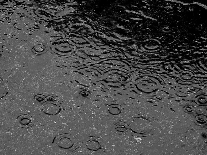
Monday’s tropical spurt of moisture, blowing in from the south, might trigger more rain than originally predicted when it collides with cold air, the NWS said.
Rainfall projections may be upped to a half inch to one inch for the Antelope Valley and north-facing slopes of the local mountains.
The forecast for the urbanized area, however, is much less certain. The NWS explained that the approaching front is coming in from the opposite direction from where nearly all winter storms approach Southern California.
“Weather forecast models are rather awful at forecasting lows rotating up from the south, and this one is no exception,” the latest NWS Los Angeles statement said. “All the models have a different take on the forecast, and their own forecasts change from run to run.”
In other words, it could rain. Or not.
“The trajectory of the rain is pretty odd as it moves in monsoon-style - - it is not a monsoon -- from the southeast,” the NWS said. A tenth to a half inch of rain was possible, but it would fall in varying amounts, the NWS said.
One thing was certain: the storm was relatively warm and snow levels would stay above 7,000 feet in elevation, well above the freeway passes, the NWS said.
- City News Service
Get more local news delivered straight to your inbox. Sign up for free Patch newsletters and alerts.