Home & Garden
Heaviest Snow Moving into Bethel Now: UPDATE
The National Weather Service issued a "Special Weather Statement" for this evening as blizzard and near blizzard conditions continue.

By Brian McCready
The National Weather Service has just issued a “Special Weather Statement” for all of Fairfield, New Haven, Middlesex, and New London counties.
UPDATED BETHEL STORM GUIDE: Latest Cancellations, Outages, Snow Totals, Need-to-Know Info
The Blizzard Warning remains in effect for southern Fairfield, New Haven, Middlesex, and New London counties for between 1-2 feet of snow. The two feet areas will be west of Bridgeport, the National Weather Service writes.
Northern Fairfield, New Haven, Middlesex, and New London counties continue to operate under a Winter Storm Warning for between 10-14 inches of snow.
Here is the latest Special Weather Statement issued by the National Weather Service late Saturday afternoon:
Heavy snow is moving into southern Connecticut now and snowfall rates of 1-2 inches per hour are expected.
Some snowfall rates of up to 3 inches per hour are possible in isolated incidents.
The heaviest snow for southern Connecticut is expected between 5-7 p.m. with blizzard conditions continuing at the immediate coast, and near blizzard conditions a bit inland.
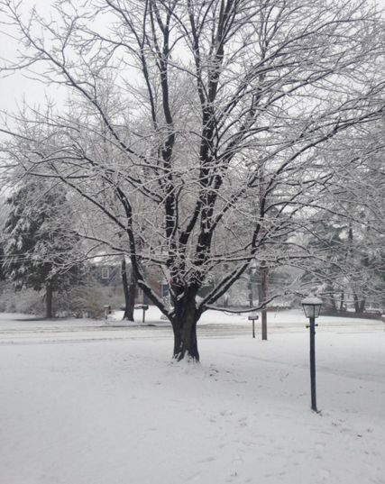
Photo: Wendy Mitchell
Get more local news delivered straight to your inbox. Sign up for free Patch newsletters and alerts.