Weather
Connecticut Weather: Up to a Foot of Snow Possible In Places
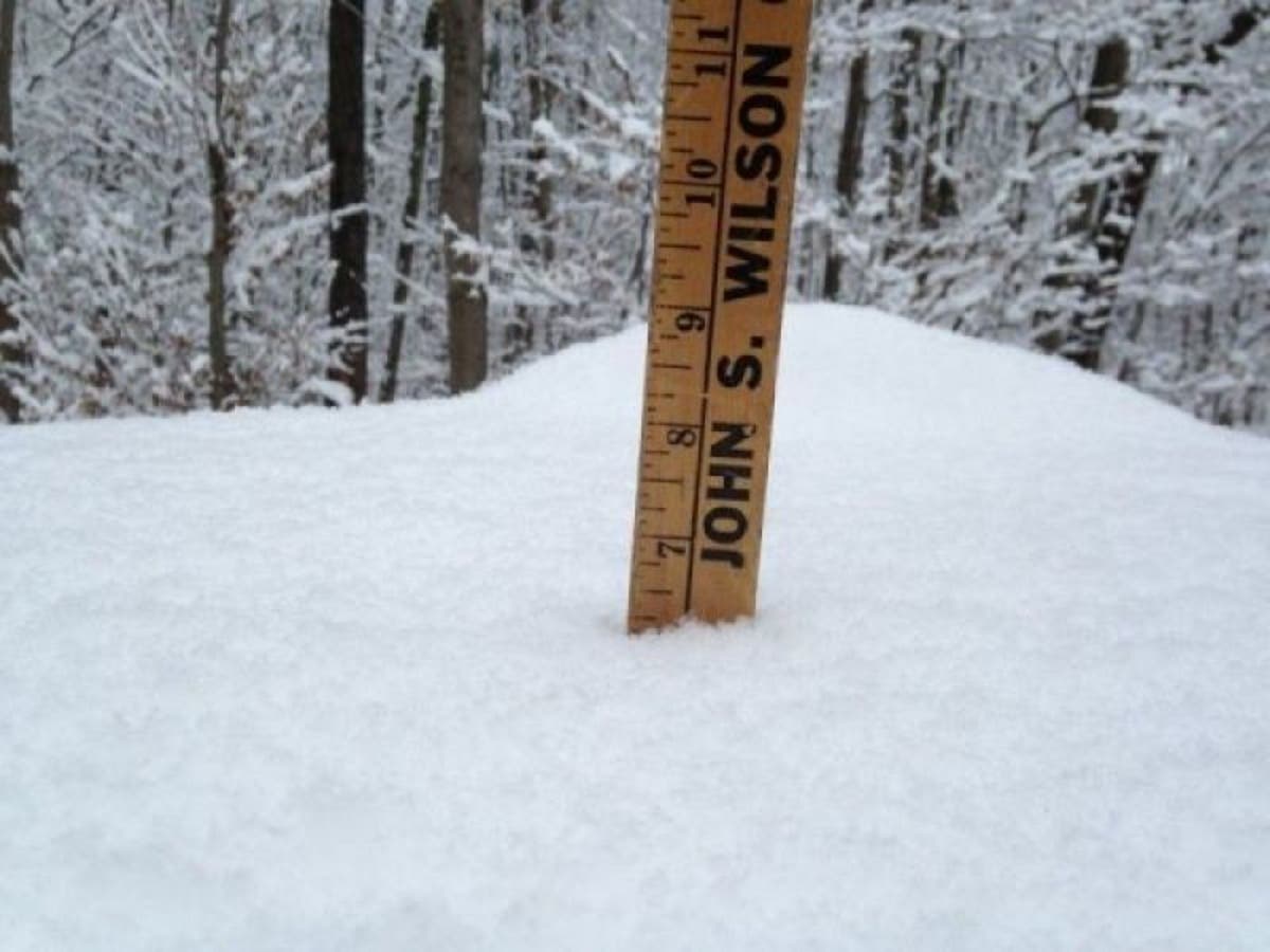
Snow accumulation estimates are rising for the midweek snowstorm. Some areas may see a foot or more of snow. Here is the new information.

Snow accumulation estimates are increasing for the entire state except for areas along the coast of southeastern Connecticut, according to the National Weather Service. Some areas of the state could see up to 18 inches of snow, the weather service says. A Winter Storm Watch is in effect for the entire state for a very snowy Wednesday.
In an updated Monday evening announcement, the National Weather Service details its latest snowfall predictions. The worst of the heavy snow is forecast for Wednesday afternoon and evening. (Updated Tuesday morning Connecticut Weather: Winter Storm Warning Issued for Wednesday)
For inland sections of Middlesex County and the coast of both Fairfield and New Haven counties 5 to 10 inches of snow is predicted.
Find out what's happening in Greenwichfor free with the latest updates from Patch.
"Plan on difficult travel conditions, including during the morning and evening commutes on Wednesday. Significant reductions in visibility are possible," the weather service says.
For inland sections of Fairfield and New Haven counties 8 to 12 inches of snow are possible and the morning and evening commute on Wednesday is expected to be very difficult as heavy snow will fall.
Find out what's happening in Greenwichfor free with the latest updates from Patch.
For the coast of New London County, some rain may mix in which will limit the snow accumulation. Two to six inches of snow is expected here.
Inland sections of New London County and the coast of Middlesex County are expected to receive 4 to 7 inches of snow. Hartford, Tolland and Windham counties are forecast to receive 6 to 12 inches of snow.
"Heaviest snow expected Wednesday afternoon into early Thursday morning. The Wednesday evening rush hour is expected to be significantly impacted where precipitation is falling as heavy snow," the weather service says. "Travel could be very difficult where precipitation remains heavy snow with the potential for 2 to 3 inch per hour snowfall rates. Significant reductions in visibility are possible. This will be a wet snow...especially just northwest of the rain/snow line which may result in downed trees and scattered power outages."
For Litchfield County, 10 to 18 inches of snow are expected from Wednesday morning through Thursday afternoon.
Here are the latest predictions and comments from the state's top weather experts.
Fox 61's Rachel Frank said the Wednesday morning commute should be ok but the commute home and the commute Thursday morning will be a challenge. Snow should end by 6 a.m. Thursday, she said. The good news is that the storm will be less windy than Friday's nor'easter. Wind gusts will be between 25 and 35 mph she said.
Timing: Wednesday mid-late morning into early Thursday morning. Starts light then picks up in the afternoon and evening. Mixing or a change to rain possible southeast which is why we have lower numbers there. How far north mixing gets still uncertain. pic.twitter.com/s4UDzPPPS3
— Rachel Frank (@RachelFrank_CT) March 5, 2018
Wednesday's nor'easter is looking like a big one. We're more confident now of heavier snow along and NW of I-84. Lesser confidence southeast of there with mixing issues and warmer temperatures. #nbcct pic.twitter.com/CMwohqGKv4
— Ryan Hanrahan (@ryanhanrahan) March 5, 2018
as seen on tv... a slight tweak to account for the possibility of even more snow in the northwest hills! @BruceDePrest has more on @WFSBnews at 6, then again at 11p! #winterstormelsa pic.twitter.com/gYFPDdCXG5
— Mark Dixon (@MarkDixonTV) March 5, 2018
See also: Former Host Hits ESPN With Harassment Suit
State Police ID Person Killed After Tree Falls On His Car: Report
Get more local news delivered straight to your inbox. Sign up for free Patch newsletters and alerts.