Community Corner
Winter Weather Advisory Issued For Cherokee County
The National Weather Service states "periods of slow, sleet or freezing rain will cause travel difficulties" on Wednesday.

Editor’s note: this story has been updated
---
Woodstock, GA -- The National Weather Service is now including Cherokee County in its winter weather advisory issued Tuesday morning.
Find out what's happening in Woodstock-Towne Lakefor free with the latest updates from Patch.
The advisory, which now includes Cherokee, Bartow, Forsyth, Floyd and Hall counties, is now in effect from 7 a.m. Wednesday to 1 a.m. Thursday.
The advisory, according to NWS, means that ”periods of slow, sleet or freezing rain will cause travel difficulties.”
Find out what's happening in Woodstock-Towne Lakefor free with the latest updates from Patch.
“Be prepared for slippery roads and limited visibilities (sic)...and use caution while driving,” NWS states.
According to Wednesday’s forecast for Woodstock, residents should expect a chance of snow, freezing rain and sleet before noon Wednesday, a chance of rain and snow between noon and 2 p.m. and mostly rain after 2 p.m.
The chance of precipitation is 50 percent, and “little to no ice accumulation” is expected, the forecast states. However, new snow and sleet accumulation of less than a half-inch is possible.
Otherwise, expect cloudy skies with a high temperature of 40. Wednesday’s low is expected to drop to around 34 degrees.
- Get your five-day forecast for Woodstock-Towne Lake here.
Areas to the north of Cherokee County have a greater chance of winter precipitation, as a winter storm warning has been issued for portions of north Georgia from 4 a.m. Wednesday to 1 a.m. Thursday.
The accumulations of freezing rain, sleet and snow could cause complications for motorists traveling in this area of north Georgia, which includes counties such as Gordon, Pickens, Dawson, Lumpkin, Gilmer and Fannin.
A winter storm warning means “significant amounts” of snow, sleet or ice are expected to occur.
“This will make travel very hazardous or impossible,” NWS states.
Return to Patch for updates.
---
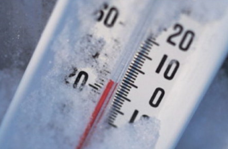
Image via Patch file
Get more local news delivered straight to your inbox. Sign up for free Patch newsletters and alerts.