Weather
Tornado Watch Issued For 16 MD Counties, Baltimore City Sept. 1
Isolated tornadoes are possible on Wednesday in Maryland as Ida moves through the state, according to the National Weather Service.

MARYLAND — Isolated tornadoes are possible on Wednesday in Maryland as the remains of what was Hurricane Ida move through the state, according to the National Weather Service. A tornado watch has been issued by the agency for the city of Baltimore, along with 16 counties, until 7 p.m.
Those counties under the watch are: Anne Arundel, Baltimore, Calvert, Carroll, Cecil, Charles, Dorchester, Frederick, Harford, Howard, Montgomery, Prince George's, Somerset, St. Marys, Wicomico and Worcester.
A flash flood watch is in effect until 8 a.m. Thursday for much of the state, with 1 to 3 inches of rain predicted for many counties, and up to 5 inches of rain in a few areas.
Find out what's happening in Baltimorefor free with the latest updates from Patch.
A round of heavy thunderstorms early this morning may cause flash flooding, especially in the Washington and Baltimore metropolitan areas. More thunderstorms with heavy rainfall are expected across the area Wednesday afternoon and evening, the National Weather Service said.
Heavy rains could cause flash flooding of creeks, small streams, and urban areas, and has the potential for flooding on the main rivers, the NWS said.
Find out what's happening in Baltimorefor free with the latest updates from Patch.
Areas included in the flash flood watch are: Carroll, Baltimore, Cecil, Prince George's, Anne Arundel, Montgomery, Howard, and Harford counties, plus the cities of Baltimore, Bowie, Annapolis, Odenton, Westminster, Silver Spring, Bethesda, College Park, Reisterstown, Columbia, Severna Park, Greenbelt, Germantown, Rockville, Jarrettsville, Frederick, Arnold, Suitland-Silver Hill, Gaithersburg, Severn, Eldersburg, Clinton, Glen Burnie, Ellicott City, Laurel, and Aberdeen.
Related: Ida Remnants Threaten Heavy Rain, Floods, Power Outages In MD
Residents should:
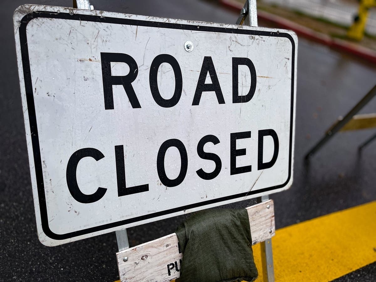
- Never drive through flooded roadways. Turn around, don't drown.
- Turn on headlights when it rains.
- Heed all warnings and stay indoors during severe weather.
- Closely monitor updated weather forecasts and be sure to have a way to follow local forecasts and warnings.
- Keep devices charged in case of power outages.
- Let friends or family know of your travel route and expected arrival time.
- Know who to contact in the case of a power outage. Emergency phone numbers for utility companies can be found here.
- Follow MEMA and the National Weather Service social media accounts for localized forecasts.
Subscribe to your local Patch newsletter. You can also have them delivered to your phone screen by downloading from iTunes, or by visiting the Google Play store.
Get more local news delivered straight to your inbox. Sign up for free Patch newsletters and alerts.