Weather
Weather Alert: Flash Flood Watch Expands In Maryland
Breaking: The National Weather Service has issued a flash flood watch for much of Maryland on July 6.

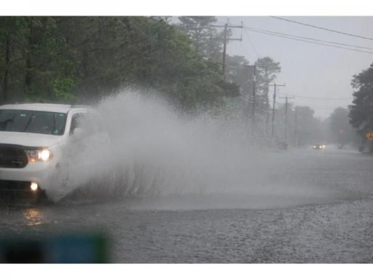
BALTIMORE, MD — Heavy rainfall that doused part of Maryland early Thursday has prompted the National Weather Service to expand a flash flood watch for much of the state until 2 a.m. Washington, D.C., and much of Northern Virginia is also in the watch area.
The watch area includes Anne Arundel, Calvert, Carroll, Howard, Baltimore, Harford, and Prince George's counties.
A line of moderate to heavy rainfall is developing from the Maryland-Pennsylvania border westward into Ohio. Rainfall intensity is expected to increase late this afternoon and evening, with the potential of producing 2 or more inches of rain in an hour, the Weather Service says. Slow-moving showers and thunderstorms capable of producing heavy rain will be possible. These may lead to flash flooding.
Find out what's happening in Bethesda-Chevy Chasefor free with the latest updates from Patch.
The central, northwest and southeast sections of Montgomery County and all of Prince George's County were deemed most at risk for flooding early Thursday. But the updated forecast added multiple counties.

A Flash Flood Watch means that conditions may develop that lead to flash flooding. Flash flooding is a very dangerous situation. You should monitor later forecasts and be prepared to take action should Flash Flood Warnings be issued.
Find out what's happening in Bethesda-Chevy Chasefor free with the latest updates from Patch.
The weather service urges residents to take precautions ahead of the rainfall. Be sure to:
- If you are near streams or drainage ditches keep an eye on them and be ready to quickly seek higher ground. Water may rise rapidly.
- Clear out storm drains.
- Those prone to basement flooding should prepare.
- Communities prone to flooding should prepare.
The forecast calls for more rain into the weekend.
Thursday: Showers, with thunderstorms also possible after 2pm. High near 81. East wind around 7 mph. Chance of precipitation is 100%. New rainfall amounts between 1 and 2 inches possible.
Thursday night: Showers and possibly a thunderstorm before 8pm, then scattered showers and thunderstorms between 8pm and 11pm, then scattered showers after 11pm. Low around 71. East wind around 6 mph becoming light and variable after midnight. Chance of precipitation is 80%. New precipitation amounts between a quarter and half of an inch possible.
Friday: A chance of showers and thunderstorms, mainly before 2pm. Mostly cloudy, with a high near 87. Northwest wind 6 to 8 mph. Chance of precipitation is 50%.
Friday night: A slight chance of showers and thunderstorms before 11pm. Mostly cloudy, with a low around 73. Southwest wind 3 to 8 mph. Chance of precipitation is 20%.
Saturday: A slight chance of showers and thunderstorms after 2pm. Mostly sunny, with a high near 88. West wind 5 to 11 mph. Chance of precipitation is 20%.
»Graphic from the National Weather Service, photo from Shutterstock
Get more local news delivered straight to your inbox. Sign up for free Patch newsletters and alerts.