Weather
April Snow Puts Spring On Hold Across MA: See Latest Forecast
Snow will be in the air across parts of the state Tuesday morning and early evening before a big weekend warmup.

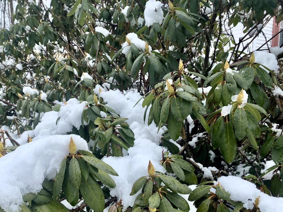
Parts of Massachusetts will wake up to a wintry scene Tuesday morning as cold temperatures and a shot of snow hit the region ahead of a big warmup expected for this weekend.
The National Weather Service is calling for scattered snow showers early Tuesday with flurries most likely falling during the morning commute — and again around sundown.
The NWS said the best chance of snow — or a wintry mix — will be before 7 a.m. with a coating possible in the interior and rain mixing in along the coast.
Find out what's happening in Across Massachusettsfor free with the latest updates from Patch.
The NWS said up to a half-inch of snow accumulation is possible on grassy and elevated surfaces.
Another bout of snow showers could move in around sundown with the NWS calling for snow showers between 7 and 8 p.m. on Tuesday.
Find out what's happening in Across Massachusettsfor free with the latest updates from Patch.
After a frigid night Tuesday into Wednesday morning with lows in the 20s, the warmup will begin on Wednesday afternoon with a high temperature of 50 degrees.
A cool night follows with lows near freezing as the winds switch around to the southwest by Thursday morning.
That ushers in an end of the week with more of a May or June feel.
A brisk south wind will send high temperatures well into the 50s on Thursday, with the NWS calling for a high of 66 on Friday, 70 degrees on Saturday, and 61 degrees on Sunday.
Get more local news delivered straight to your inbox. Sign up for free Patch newsletters and alerts.