Traffic & Transit
Worcester's Transportation Revolution? New Department Takes Fresh Look At Roads
For the first time ever, Worcester has a department working only on transportation. The goal: "safety, equity and sustainability."


WORCESTER, MA - Sandwiched between a big rail yard and a somewhat unruly road where cars and trucks occasionally speed and park on sidewalks, you’ll find a small brick building that formerly housed Worcester’s public works customer service center.
Inside the building, full of office furniture but mostly empty of people, there’s a corner office with a piece of paper tacked to the wall outside with Stephen Rolle’s name on it.
Rolle is the genial, West Coast transplant who, with little fanfare, recently took charge as Worcester's first Commissioner of Transportation and Mobility.
From a quality-of-life standpoint, the new department might be the city's most important policy shift in recent years. Traffic and parking are always issues in Worcester, but the department will go beyond those to find ways to make transportation better for pedestrians, the disabled, transit riders and cyclists, Rolle says. It’s the first time since Worcester became a city in 1848 that it’s had an independent transportation department. Until now, transportation was a function of the sprawling Department of Public Works and Parks.
Rolle says the department will bridge city initiatives ranging from public health to public works to reducing Worcester’s environmental footprint. Although still in its infancy, Rolle has big plans as he hires staff to fill that new office along East Worcester Street to fulfill the department’s mission.
“Safety, equity and sustainability,” Rolle said several times during a recent interview, emphasizing the department’s mantra.
‘Streets as place-making’
Rolle’s path to leading Worcester’s first transportation department runs through the Pacific Northwest and many notable New England cities.
Originally from California, he earned a degree in civil engineering from the University of Washington in Seattle. His first job as a transportation engineer was in the mid-1990s in Renton, a city of about half the size of Worcester south of Seattle. Renton’s transportation network was built around the former Boeing plants and offices in the city's downtown area, where wide one-way streets cross between the notoriously congested I-405 freeway and wide surface roads that feed drivers into downtown Seattle and back to the suburbs.
Rolle, 53, moved to Worcester in 2007 after his wife got a job at WPI. He worked locally as a land use consultant in the private sector, overseeing projects in major New England cities like Burlington, Vt., and New Haven, Conn. In the latter city, he worked on plans to tame Whalley Avenue, a dangerous, four-lane mainline through some of New Haven’s densest neighborhoods — very similar to Park Avenue in Worcester.
“It was a good introduction to how different communities address [transportation] issues,” he said of his early years in New England.
He joined the Worcester Planning Board in 2009, and when there was an opening in the city’s development office in 2014, Rolle applied. He started as the assistant chief development officer the same day as former city manager Ed Augustus Jr.
During his time in the planning department, Rolle worked on efforts like the ongoing Worcester Now | Next master plan, and the city’s 2017 complete streets policy — an important update that allows Worcester to access MassDOT grants to build streets that move more than just cars.
During that time, Rolle said, Augustus began to realize the importance of “streets as place-making.” In other words, streets that everyone can use, not just automobiles. That led to the idea of a standalone transportation department last summer.
Over the winter months, Rolle, acting City Manager Eric Batista and DPW&P Commissioner Jay Fink began meeting weekly to hash out what the new department would oversee and what its goals will be. The trio looked at what other cities are doing, finding inspiration in similar departments in Somerville and Portland, Maine.
The department was included in Augustus’ final budget proposal last spring and in July officially became a standalone entity reporting to the city manager.
“A city of vibrant and healthy neighborhoods, connected and served by safe, sustainable, and convenient transportation choices accessible to all,” a description of the department in the 2023 budget book read.
Robust Worcester
The new department’s work will have to wrangle two distinct parts of Worcester: the old and the new.
Worcester’s recent development boom is an opportunity to start fresh in some places. Polar Park spurred the new Kelley Square peanut, and the city has built a network of new roads, complete with fresh bike lanes, nearby on top of a former Wyman-Gordon plant.
But the new developments are islands among a cityscape of neighborhoods separated by physical barriers. There’s an enormous train trestle and roads like Francis McGrath Boulevard in between neighborhoods like the Canal District, Main South and downtown.

Over his first year as commissioner, Rolle will focus on adding staff and building relationships with other departments. For example, the department could aid public health initiatives: studies show that transportation policy changes that make walking and biking easier lead to better health overall.
The Green Worcester plan from 2021 sets a top-line goal of transitioning to 100 percent renewable energy by 2045, partly relying on improving connections between neighborhoods to reduce car trips. The plan specifies that Worcester has built itself to be “highly car-dependent.”
“Although the city has a densely-built urban core around downtown which, in principle, is walkable, bikeable, and suitable for transit, during the twentieth century the city also developed more suburban-style neighborhoods and corridors, and small centers dispersed around the city,” the plan says.
Rolle does see opportunities to start making changes soon. Each year, Worcester repaves streets across the city. Rolle wants to use that program to redesign roads to accommodate all users.
The department is also working on an upgrade of Chandler Street. The project will focus on two sections: The wide, speedy portion from Main Street to Park Avenue, which ranks among the top crash-cluster locations in the state; and the portion near Worcester State University, where MassDOT has proposed installing two small roundabouts to calm traffic across a wide intersection.
The Main-to-Park section of Chandler will be a “complete streets” project, with the redesign aiming to accommodate all road users. Some new features include new lights and landscaping, Americans with Disabilities Act upgrades and timed signals. Construction could begin in 2025, with the first round of design concepts coming soon.
Rolle is also brimming with ideas about smaller fixes across Worcester. While walking near Plum Street on a recent rainy day, he gestured to a new black asphalt sidewalk and said he’d like to stop using the material altogether. It’s not as durable as concrete, creating an uneven surface for pedestrians — especially dangerous for ones with sight and mobility impairments. Asphalt also contributes to heat islands in the city. It’s one small part of a transportation system that Rolle wants to be more “robust.”
“We want a robust system, so people can walk and ride the bus, so they don’t have to get into a car to go to the grocery store,” Rolle said.
Plenty of work in Worcester
Take a walk or bike ride around Worcester, and you’ll realize quickly there’s a lot of work ahead to make the city accessible for more than just drivers.
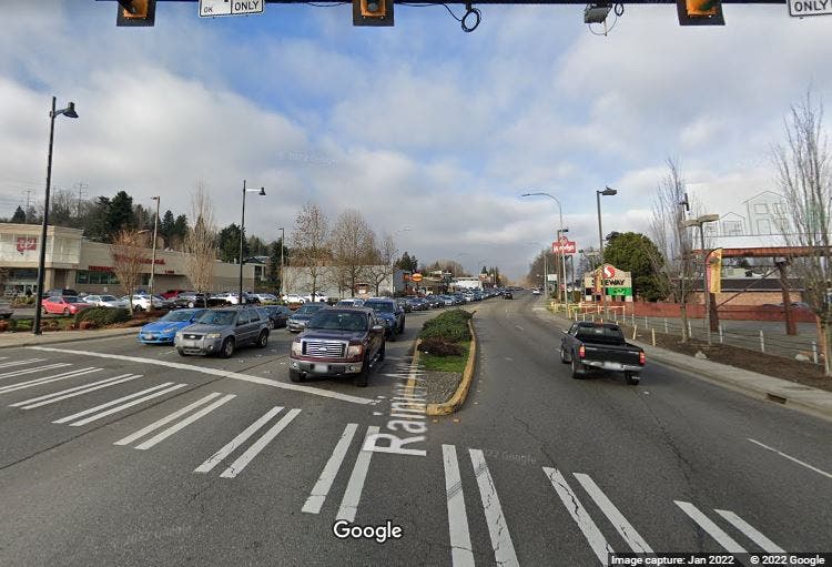
Whole pieces of Worcester, like Gold Star Boulevard and Lincoln Square, were built to move only vehicles, and move them fast. On most days, you’ll see pedestrians darting across Belmont Street from the UMass Chan Medical School campus along a half-mile stretch between Plantation Street and Lake Avenue that lacks pedestrian crossings. The rotary at Newton Square is effectively Kelley Square Jr., and city councilors have called it a “nightmare” for pedestrians.
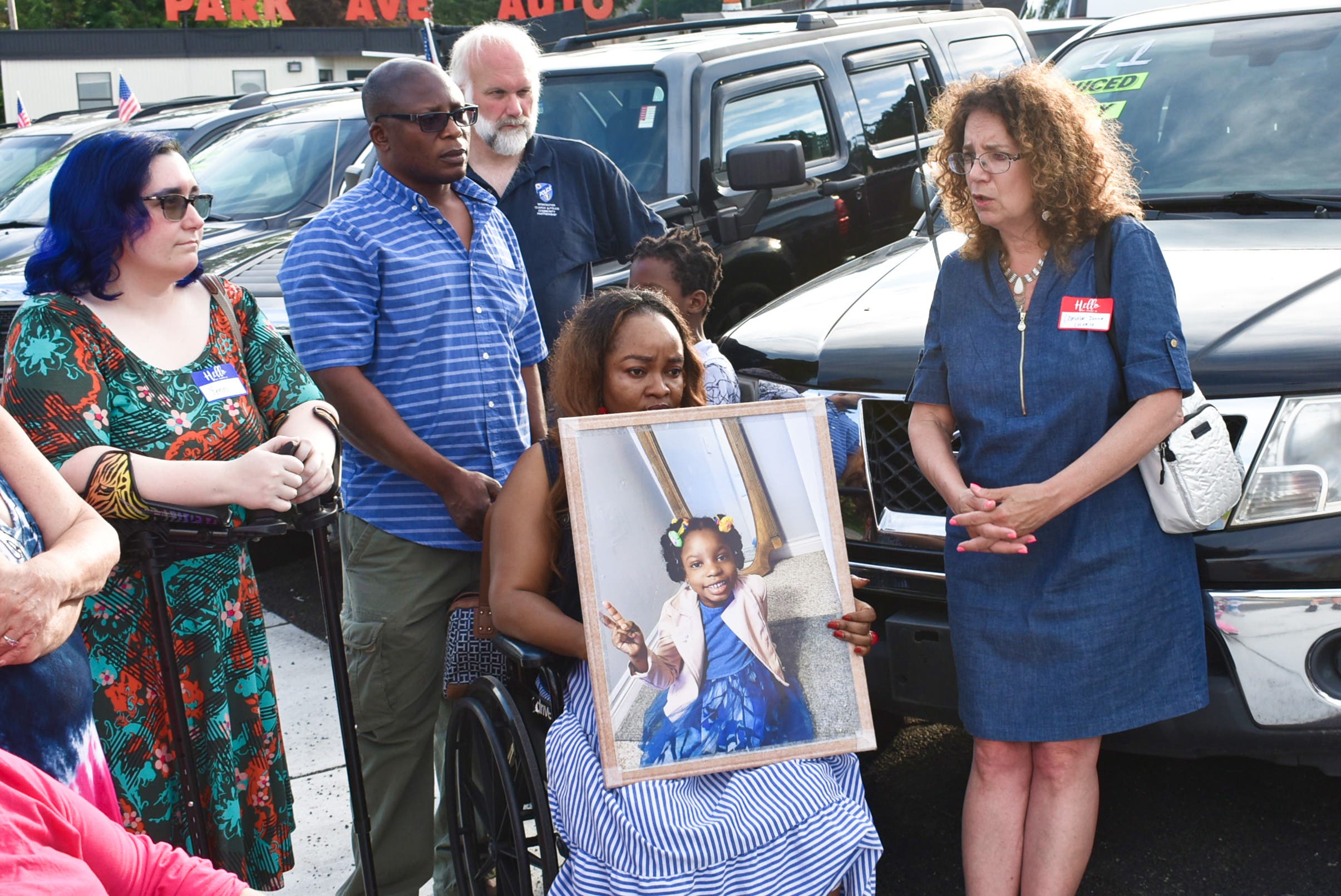
Worcester has also had its fair share of roadway tragedies, none more shocking than the death of 5-year-old Candice Asare-Yeboah in May. A speeding driver hit the girl and her mother in a crosswalk along Stafford Street in April, leading to a community push for safety upgrades. Last September, MassDOT installed a short stretch of bike and bus lanes along Pleasant Street near Paxton after a 12-year-old was hit and injured near Tarrytown Lane after getting off a school bus.
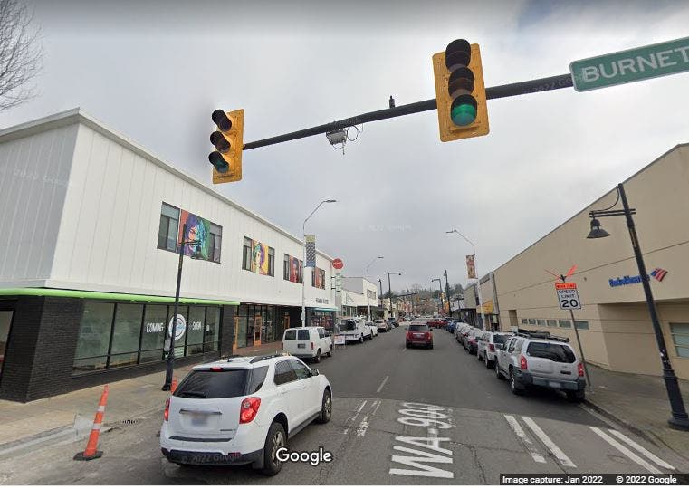
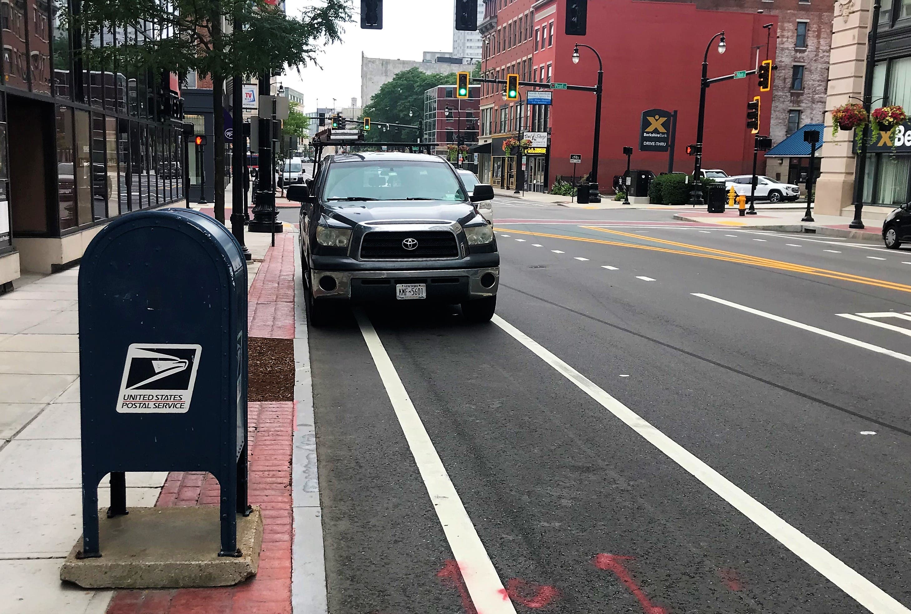
Much of Worcester’s bike infrastructure lags other similar cities. Streets like Belmont, Park, Chandler and Pleasant Street are downright dangerous to bike along. There are no protected bike lanes except for a short contraflow lane off Kelley Square along Harding Street. Drivers often use bike lanes for parking or just driving. Go to the newly renovated Main Street downtown, and you’ll see cars, delivery vans and semitrailers parked in bike lanes. The city street named after bicycling champion and former resident Major Taylor doesn't even have bike lanes.
Then there's the tough topography, the tossed-spaghetti street layout dating to the 18th Century, plus major obstacles — highways, train trestles, former factories — that segregate neighborhoods. Consider this: Holy Cross and Clark University are less than a mile apart, as the crow flies. But there’s no direct way to walk or bike (or drive) between the campuses; instead, the trip is a zigzag around I-290 and over two freight rail lines.
It’s for all those reasons and more that the Transportation and Mobility Department was created, Rolle says. The department will work on issues related to driving and parking, but the focus will be on solving problems for all groups. If reducing traffic congestion on one street means it becomes unsafe for other users, that’s not a solution, he said.
“Safety, equity and sustainability is the way to approach people’s concerns,” he said.