Weather
12 Inches Of Snow Possible For Twin Cities: Minnesota Weather
People traveling home for Thanksgiving this weekend may get caught in another major snowstorm in Minnesota.


MINNEAPOLIS-ST. PAUL, MN — After nearly 10 inches of snow was dumped on the Twin Cities metro area Tuesday night and Wednesday morning, disrupting travel for those heading out for Thanksgiving, another storm is slated for this weekend. A new winter storm warning has been issued.

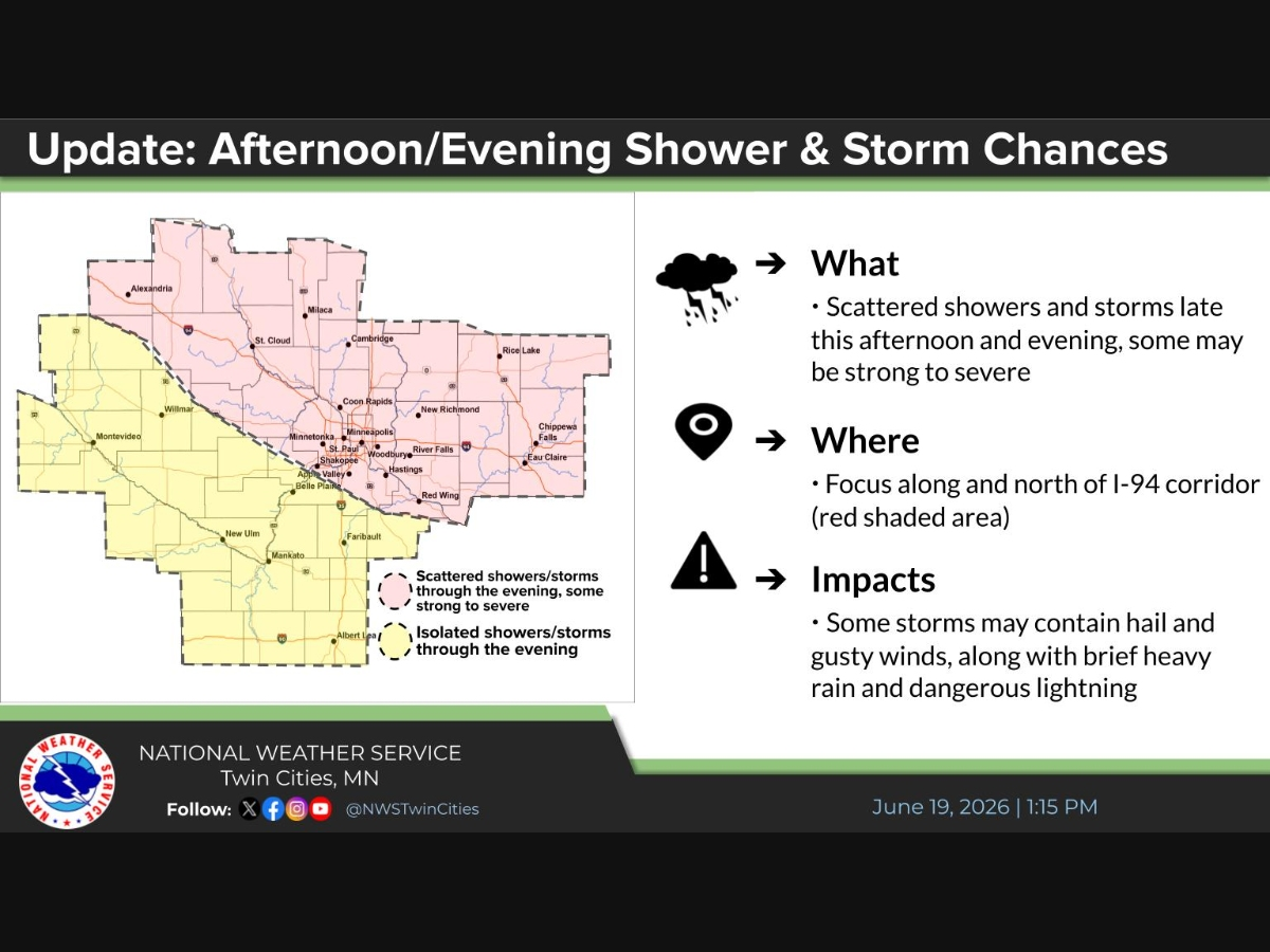
"Areas in northern Minnesota and northern Wisconsin can expect to see quite a bit of snow this weekend," says the National Weather Service.
"They are in a Winter Storm Warning (pink) and should expect difficult travel conditions. Areas just to the south could see a mix of rain/snow/ice, so the forecast is still uncertain. The areas in a Winter Weather Advisory will see more mixed precipitation and rain."
Find out what's happening in Southwest Minneapolisfor free with the latest updates from Patch.
The warning area will have 7 to 12" of snow, with the lighter amounts on the southern edge of the warning where a wintry mix is expected Saturday. The advisory area will have 2 to 5" of snow total through Sunday, with precipitation turning over to rain for a time Saturday.
— NWS Twin Cities (@NWSTwinCities) November 29, 2019
Earlier snowfall amounts
Checkout how much snow fell in our first big storm of the season:
Find out what's happening in Southwest Minneapolisfor free with the latest updates from Patch.
Here is the list of snowfall totals by county that we've received through 1 PM. Thank you to everyone who sent in reports! Link: https://t.co/RxElC28cNN pic.twitter.com/qQCnskPZW8
— NWS Twin Cities (@NWSTwinCities) November 27, 2019
Here's the NWS weather forecast for the Twin Cities metro area:
Friday Night: A chance of snow and freezing rain before 9pm, then snow between 9 p.m. and 5 a.m., then snow, possibly mixed with sleet after 5 a.m. Some thunder is also possible. Low around 31. Breezy, with an east wind 10 to 20 mph, with gusts as high as 25 mph. Chance of precipitation is 100 percent. Little or no ice accumulation expected. Total nighttime snow and sleet accumulation of 1 to 3 inches possible.
Saturday: Snow, possibly mixed with rain and sleet before 5 p.m, then snow, possibly mixed with sleet. Some thunder is also possible. Patchy blowing snow before 2pm, then patchy blowing snow after 4 p.m. High near 34. Breezy, with an east wind 20 to 25 mph, with gusts as high as 35 mph. Chance of precipitation is 100 percent. New snow and sleet accumulation of 1 to 3 inches possible.
Saturday Night: Snow, possibly mixed with sleet, becoming all snow after 7pm. Some thunder is also possible. Low around 29. North northeast wind around 15 mph, with gusts as high as 25 mph. Chance of precipitation is 100 percent. New snow and sleet accumulation of 2 to 4 inches possible.
Sunday: Snow, mainly before noon. Patchy blowing snow between 11 a.m and 2 p.m. High near 31. Blustery, with a north wind 15 to 20 mph, with gusts as high as 30 mph. Chance of precipitation is 100 percent. New snow accumulation of 1 to 3 inches possible.
Sunday Night: Partly cloudy, with a low around 11. North wind 5 to 10 mph becoming light northwest after midnight.
Monday: Mostly sunny, with a high near 25. Calm wind becoming south southwest around 5 mph in the afternoon.
Monday Night: Mostly cloudy, with a low around 21. South wind around 5 mph becoming west after midnight.
Tuesday: Mostly sunny, with a high near 31. West wind 5 to 10 mph.
Tuesday Night: Partly cloudy, with a low around 24. West northwest wind 5 to 10 mph.
Wednesday: Mostly sunny, with a high near 34. West wind 5 to 10 mph.
Wednesday Night: Partly cloudy, with a low around 22. West wind around 5 mph.
Thursday: Partly sunny, with a high near 31. West northwest wind around 5 mph becoming south in the afternoon.
Thursday Night: A 20 percent chance of snow. Mostly cloudy, with a low around 17. North northwest wind around 5 mph.
Friday: A 20 percent chance of snow. Mostly sunny, with a high near 24. North northwest wind around 5 mph becoming south in the morning.
Get more local news delivered straight to your inbox. Sign up for free Patch newsletters and alerts.