Weather
NWS Shares Ominous Message On Wednesday Storm: MN Weather
"The storm system impacting the region today and tonight is one a meteorologist will remember throughout their career," a post reads.

TWIN CITIES, MN — The storm that is set to hit the Twin Cities metro Wednesday will be historic and potentially severe. An ominous message from the National Weather Service sheds light on how serious the weather could turn.
"The storm system impacting the region today and tonight is one a meteorologist will remember throughout their career," a post in the National Weather Service forecast discussion reads.
"The highly dynamic and very unusual storm system will bring almost every weather type we experience around here within the next 24 hours. Most weather elements are record breaking for this time of year, including temperatures, moisture, wind, and various severe weather parameters."
Find out what's happening in Southwest Minneapolisfor free with the latest updates from Patch.
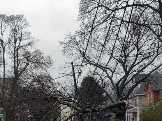
The NWS is currently warning residents about dense fog, damaging winds, and a chance for thunderstorms and even a tornado Wednesday. On top of that, a cold front is set to move in Thursday, causing a flash freeze.
Find out what's happening in Southwest Minneapolisfor free with the latest updates from Patch.
Get more local news delivered straight to your inbox. Sign up for free Patch newsletters and alerts.


